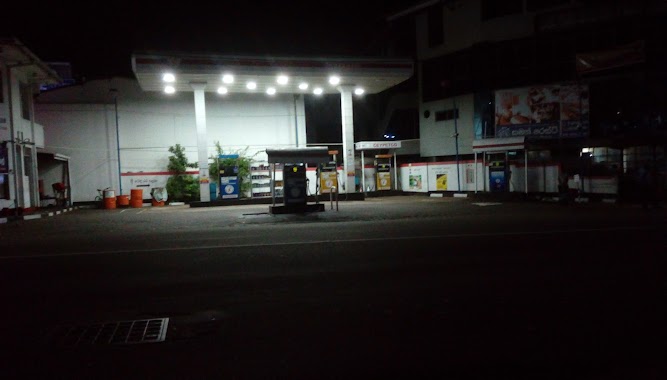
Gas station nearby Lanka Filing Station
Sri Lanka
Gas station nearby Lanka Filing Station
Lanka Filing Station
A2, Ambalangoda, Galle, LK Sri Lanka
contacts phone
:
+94
Latitude:
6.2370809
, Longitude:
80.0541933
larger map & directions
read more
nearest Gas station
5 m
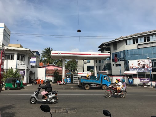
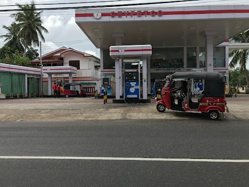
Ceypetco Filling Station
A2, Ambalangoda
Gas station
read more
496 m
Ambalangoda IOC Fuel filling station
Ambalangoda
Gas station
read more
504 m
Lanka IOC
Adurangoda
Gas station
read more
586 m
Sumanadasa Service Center
A2, Ambalangoda
Gas station
read more
586 m
Sumanadasa Service Center
Asian Highway 43, Ambalangoda
Gas station
read more
586 m
Sumanadasa Service Center
Galle Road, Ambalangoda
Gas station
read more
4.526 km
Lanka Filling Station
Balapitiya
Gas station
read more
5.787 km
Nishadi Filling Station (Ceypetco)
Karandeniya
Gas station
read more
6.15 km
Sampath Filling Station (Ceypetco)
Karandeniya
Gas station
read more
6.982 km
SAUBAGYA INTERNATIONAL
Galle Road, Balapitiya
Gas station
read more
7.074 km
Dilisha Auto Service
Meetiyagoda
Gas station
read more
7.161 km
Lanka Filling Station
B143, Batapola
Gas station
read more
9.193 km
Ahungalla Filling Station
Ahungalla
Gas station
read more
9.282 km
Ahungalla Petrol Station
AH43, Ahungalla
Gas station
read more
10.165 km
Kurundugaha Fuel Station
B14, Kurundugahahetekma
Gas station
read more
11.132 km
Lanka Filing Station Aluthwala
Aluthwala
Gas station
read more
11.467 km
IOC Fuel Station
Kosgoda
Gas station
read more
11.919 km
Hikkaduwa Fuel Station
290 A2, Hikkaduwa
Gas station
read more
12.186 km
Lanka Filling Station
Bentara - Uragaha - Elpitiya Road, Uragasmanhandiya
Gas station
read more
12.186 km
Lanka Filling Station
B55, Uragasmanhandiya
Gas station
read more
12.768 km
USG Filling & Service Station
No 117, Ambalangoda Rd, Elpitiya
Gas station
read more
12.994 km
Ureshi Filling Station
Elpitiya
Gas station
read more
14.003 km
Yamuna Filling Station
Hikkaduwa - Baddegama Road, Gonapinuwala
Gas station
read more
14.153 km
Lanka Filling Station
B14, Elpitiya
Gas station
read more
15.732 km
Co-operative Patrol Station
Baddegama
Gas station
read more
📑
all categories
Accounting
Administrative area level 1
Administrative area level 2
Airport
Amusement park
Aquarium
Art gallery
Atm
Bakery
Bank
Bar
Beauty salon
Bicycle store
Book store
Bowling alley
Bus station
Cafe
Campground
Car dealer
Car rental
Car repair
Car wash
Casino
Cemetery
Church
City hall
Clothing store
Colloquial area
Convenience store
Country
Courthouse
Dentist
Department store
Doctor
Electrician
Electronics store
Embassy
Finance
Fire station
Florist
Food
Funeral home
Furniture store
Gas station
General contractor
Grocery or supermarket
Gym
Hair care
Hardware store
Health
Hindu Temple
Home goods store
Hospital
Insurance agency
Intersection
Jewelry store
Laundry
Lawyer
Library
Light rail station
Liquor store
Local government office
Locality
Locksmith
Lodging
Meal delivery
Meal takeaway
Mosque
Movie rental
Movie theater
Moving company
Museum
Natural feature
Neighborhood
Night club
Painter
Park
Parking
Pet store
Pharmacy
Physiotherapist
Place of worship
Plumber
Point of interest
Police
Political
Post office
Premise
Real estate agency
Restaurant
Roofing contractor
Route
Rv park, camping
School
Shoe store
Shopping mall
Spa
Stadium
Storage
Store
Subpremise
Supermarket
Synagogue
Taxi stand
Train station
Transit station
Travel agency
University
Veterinary care
Zoo
administrative area level 3
sublocality level 1
sublocality level 2
↑