Gym nearby Fitnes center
Sri Lanka
Gym nearby Fitnes center
Fitnes center
Galagedara East, Padukka, Sri Lanka
contacts phone
:
+94
Latitude:
6.8588723
, Longitude:
80.0916865
larger map & directions
read more
nearest Gym
1.014 km
Lion Star Gym & Fitness Center
Galagedara North, 2nd floor, Padukka
Gym
read more
1.7 km
Kinetix Fitness Club
Padukka
Gym
read more
1.882 km
Life first fitness
8b 2nd floor, people's bank building, Horana road, Padukka
Gym
read more
4.429 km
wijaya sports club
Padukka
Gym
read more
5.089 km
Mega Power Fitness Center
No. 547/2, Padukka Road
Gym
read more
5.689 km
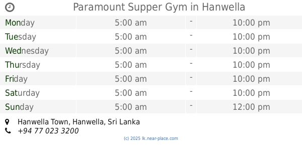
Paramount Supper Gym
Hanwella Town, Hanwella
Gym
read more
6.188 km
Kahahena Fitness Center
Waga
Gym
read more
6.525 km
Muscle Power Fitness Center
Colombo - Batticaloa Highway, Godagama
Gym
read more
8.559 km
Vevo Fitness
Pitipana Junction, Homagama
Gym
read more
9.559 km
Elite Fitness
Salawa
Gym
read more
12.671 km
Fahalalawela Cricket Ground
B174
Gym
read more
13.874 km
Power World Fitness Center
Pannipitiya
Gym
read more
14.347 km
Health First Gym
Colombo - Batticaloa Highway, Pannipitiya
Gym
read more
14.456 km
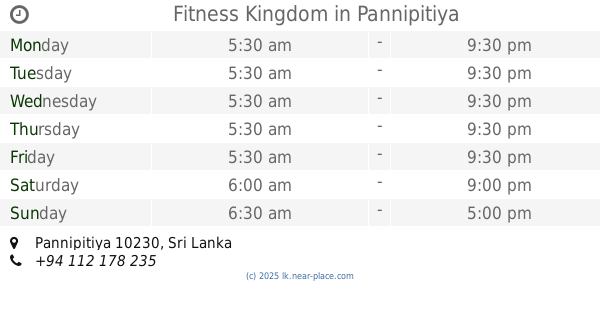
Fitness Kingdom
Pannipitiya
Gym
read more
14.458 km
Nirosha Salon
Kaduwela Road, Sri Jayawardenepura Kotte
Gym
read more
14.46 km
Live Green Sri Lanka
142/A Kahanthota Road, Malabe
Gym
read more
14.594 km
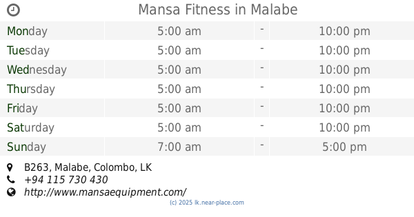
Mansa Fitness
B263, Malabe
Gym
read more
14.659 km
Dream Fitness
102/G2 B263, Kaduwela
Gym
read more
14.678 km
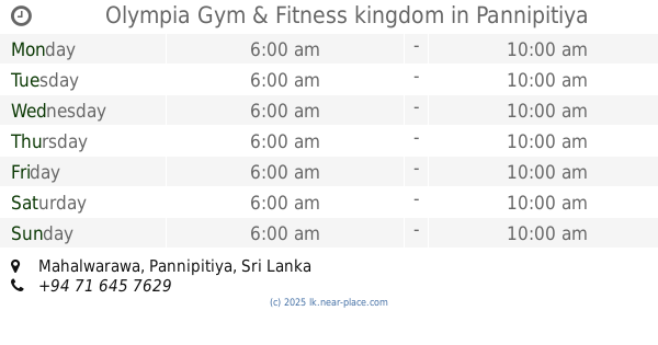
Olympia Gym & Fitness kingdom
Mahalwarawa, Pannipitiya
Gym
read more
14.756 km
Fitnes Center
Sapugaskanda Oil Refinery Junction - Biyagama Free Trade Zone Road
Gym
read more
15.526 km
Aerobics Exercise &, Punsara Fitness Siyambalape
539 New Kandy Road
Gym
read more
15.533 km
Punsara Fitness
539, New Kandy Road, කඩුවෙල
Gym
read more
16.163 km
Sahassa Gym
135 New Kandy Road
Gym
read more
16.578 km
Kurunduwatte Play Ground
Kurunduwatte, Malabe, Welivita Road, Kaduwela
Gym
read more
19.164 km
Glow Gym
Mawaramandiya
Gym
read more
📑
all categories
Accounting
Administrative area level 1
Administrative area level 2
Airport
Amusement park
Aquarium
Art gallery
Atm
Bakery
Bank
Bar
Beauty salon
Bicycle store
Book store
Bowling alley
Bus station
Cafe
Campground
Car dealer
Car rental
Car repair
Car wash
Casino
Cemetery
Church
City hall
Clothing store
Colloquial area
Convenience store
Country
Courthouse
Dentist
Department store
Doctor
Electrician
Electronics store
Embassy
Finance
Fire station
Florist
Food
Funeral home
Furniture store
Gas station
General contractor
Grocery or supermarket
Gym
Hair care
Hardware store
Health
Hindu Temple
Home goods store
Hospital
Insurance agency
Intersection
Jewelry store
Laundry
Lawyer
Library
Light rail station
Liquor store
Local government office
Locality
Locksmith
Lodging
Meal delivery
Meal takeaway
Mosque
Movie rental
Movie theater
Moving company
Museum
Natural feature
Neighborhood
Night club
Painter
Park
Parking
Pet store
Pharmacy
Physiotherapist
Place of worship
Plumber
Point of interest
Police
Political
Post office
Premise
Real estate agency
Restaurant
Roofing contractor
Route
Rv park, camping
School
Shoe store
Shopping mall
Spa
Stadium
Storage
Store
Subpremise
Supermarket
Synagogue
Taxi stand
Train station
Transit station
Travel agency
University
Veterinary care
Zoo
administrative area level 3
sublocality level 1
sublocality level 2
↑