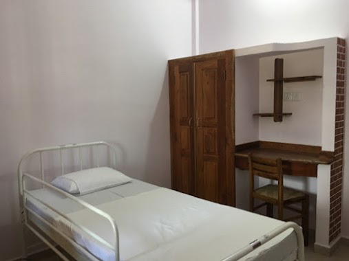
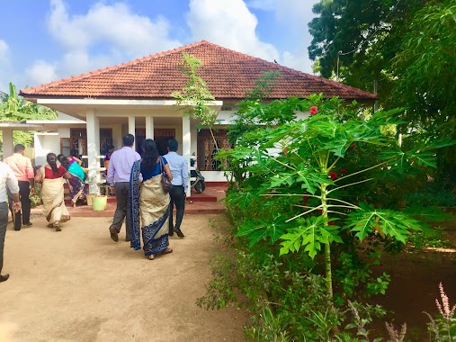
Health nearby Brahmakumaris Raja Yoga Centre
Sri Lanka
Health nearby Brahmakumaris Raja Yoga Centre
Brahmakumaris Raja Yoga Centre
Chavakachcheri, Sri Lanka
contacts phone
:
+94 77 841 0282
website:
brahmakumaris.lk
Latitude:
9.6597881
, Longitude:
80.1678041
larger map & directions
read more
nearest Health
7.944 km
Modern New Medicare Clinic
Chavakachcheri
Health
read more
8.781 km
Poomagal Medical Center
Kandy - Jaffna Highway
Health
read more
11.245 km
Primary Health Centre, Navalady, Ariyali
Health
read more
11.885 km
Kopay Medical Center
Kopay Christian College, B71, Jaffna
Health
read more
12.178 km
Kopay Medi Clinc
Unnamed Road,
Health
read more
12.802 km
Lily Care Home
Jaffna Point pedro Road, Kopay
Health
read more
13.01 km
SANKAMAM சங்கமம்
Jaffna
Health
read more
13.751 km
Sannithy Medical Centre
Avarankal-Tondaimanar Road
Health
read more
14.582 km
Medi aids clinic
Jaffna
Health
read more
14.729 km
Akshaya Medi Clinic
Chundikuli-Columbuthurai Road, Jaffna
Health
read more
14.729 km
Akshaya Medi Clinic
Columbuthurai Road, Jaffna
Health
read more
14.812 km
Mangalapathy Ayurvedic Clinic
41/5, Arasaveethi Sankilijan Road, Jaffna
Health
read more
14.815 km
Association for Health and Counselling - 'Shanthiham'
Jaffna
Health
read more
14.854 km
Bhramma Kumarys' Raja Yoga Centre
Jaffna
Health
read more
16.114 km
Eye Centre
230, Navalar Road, Jaffna
Health
read more
16.477 km
Arivu Thirukkovil
Kokuvil East
Health
read more
16.748 km
Primary Health Center Ganimadam
Kilinochchi
Health
read more
17.545 km
Health care pharmacy
Jaffna
Health
read more
17.574 km
Chunnakam Station Clinic
Chunnakam
Health
read more
17.796 km
VARMANS PHARMA
KURUMBASIDDY, TELLIPPALAI,
Health
read more
17.962 km
Chest Clinic Jaffna
Jaffna
Health
read more
18.603 km
Gramodhaya Health Centre Kadduwan
Jaffna
Health
read more
19.902 km
Atumpu Clinical Services
Manipay
Health
read more
20.006 km
Tellipalai medical officers of health (MOH)
Tellippalai
Health
read more
20.098 km
Hut BH-Thellipalai
Tellippalai
Health
read more
📑
all categories
Accounting
Administrative area level 1
Administrative area level 2
Airport
Amusement park
Aquarium
Art gallery
Atm
Bakery
Bank
Bar
Beauty salon
Bicycle store
Book store
Bowling alley
Bus station
Cafe
Campground
Car dealer
Car rental
Car repair
Car wash
Casino
Cemetery
Church
City hall
Clothing store
Colloquial area
Convenience store
Country
Courthouse
Dentist
Department store
Doctor
Electrician
Electronics store
Embassy
Finance
Fire station
Florist
Food
Funeral home
Furniture store
Gas station
General contractor
Grocery or supermarket
Gym
Hair care
Hardware store
Health
Hindu Temple
Home goods store
Hospital
Insurance agency
Intersection
Jewelry store
Laundry
Lawyer
Library
Light rail station
Liquor store
Local government office
Locality
Locksmith
Lodging
Meal delivery
Meal takeaway
Mosque
Movie rental
Movie theater
Moving company
Museum
Natural feature
Neighborhood
Night club
Painter
Park
Parking
Pet store
Pharmacy
Physiotherapist
Place of worship
Plumber
Point of interest
Police
Political
Post office
Premise
Real estate agency
Restaurant
Roofing contractor
Route
Rv park, camping
School
Shoe store
Shopping mall
Spa
Stadium
Storage
Store
Subpremise
Supermarket
Synagogue
Taxi stand
Train station
Transit station
Travel agency
University
Veterinary care
Zoo
administrative area level 3
sublocality level 1
sublocality level 2
↑