Health nearby Child and Maternity Clinic
Sri Lanka
Health nearby Child and Maternity Clinic
Child and Maternity Clinic
Seeduwa, Sri Lanka
contacts phone
:
+94
Latitude:
7.1315923
, Longitude:
79.888974
larger map & directions
read more
nearest Health
621 m
Suwani Weda Madura
379/1 Baseline Road, Katunayake
Health
read more
802 m
Mishpa Home
Munidasa Kumarathunge Mawatha, Seeduwa
Health
read more
1.175 km
Raddolugama salon
Srimath Ranasinghe Premadasa Mawatha, Katunayake
Health
read more
1.574 km
pharmacy
Amandoluwa, Seeduwa
Health
read more
1.663 km
ISOLEZ BIOTECH PAHRMA AG
Negombo
Health
read more
2.73 km
Unicorn International (Pvt) Ltd
207, Lion City Chilaw - Colombo Main Road, Seeduwa
Health
read more
3.064 km
Nimal Salon
Mutuwadiya Road, Katunayake
Health
read more
3.503 km
Ekala Auto Traders
Gampaha
Health
read more
3.649 km
St.Martin's Home for Specially-abled Elders Kotugoda
193/1 B111
Health
read more
4.314 km
Thilina Pharmacy
Ja-Ela
Health
read more
4.337 km
Dr:Hemantha Wicramasinha
Vishakawaththa 3rd Lane, Ja-Ela
Health
read more
4.585 km
Archdiocesan Family Apostolate Centry
Ja-Ela
Health
read more
5.123 km
Anton Home for the Elders
Dharmapala Mawatha, Ja-Ela
Health
read more
5.156 km
Heenatiyana Dewalaya
Gampaha
Health
read more
5.312 km
Senaratne Medical centre
Negombo
Health
read more
5.369 km
Rainbow Children Development Center
Negombo
Health
read more
5.567 km
Kandana Distributors
Alen Egoda, Negombo
Health
read more
6.713 km
Bopitiya Osusala
Bopitiya
Health
read more
7.848 km
Childrens Clinic (Dr. Raffael)
Negombo Road, Thalahena
Health
read more
10.541 km
Medical Clinic
Negombo
Health
read more
11.341 km
Sisilaja
272 Wathumulla Road, Asgiriya,, Gampaha
Health
read more
11.867 km
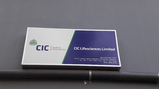
CIC Lifesciences Factory
52 Lanka Matha Mawatha, Welisara
Health
read more
12.026 km
Kossinna Fertility Clinic
Ganemulla
Health
read more
12.565 km
Osu Uyana
Kossinna East
Health
read more
15.646 km
Maternity Home
Ihala Imbulgoda
Health
read more
📑
all categories
Accounting
Administrative area level 1
Administrative area level 2
Airport
Amusement park
Aquarium
Art gallery
Atm
Bakery
Bank
Bar
Beauty salon
Bicycle store
Book store
Bowling alley
Bus station
Cafe
Campground
Car dealer
Car rental
Car repair
Car wash
Casino
Cemetery
Church
City hall
Clothing store
Colloquial area
Convenience store
Country
Courthouse
Dentist
Department store
Doctor
Electrician
Electronics store
Embassy
Finance
Fire station
Florist
Food
Funeral home
Furniture store
Gas station
General contractor
Grocery or supermarket
Gym
Hair care
Hardware store
Health
Hindu Temple
Home goods store
Hospital
Insurance agency
Intersection
Jewelry store
Laundry
Lawyer
Library
Light rail station
Liquor store
Local government office
Locality
Locksmith
Lodging
Meal delivery
Meal takeaway
Mosque
Movie rental
Movie theater
Moving company
Museum
Natural feature
Neighborhood
Night club
Painter
Park
Parking
Pet store
Pharmacy
Physiotherapist
Place of worship
Plumber
Point of interest
Police
Political
Post office
Premise
Real estate agency
Restaurant
Roofing contractor
Route
Rv park, camping
School
Shoe store
Shopping mall
Spa
Stadium
Storage
Store
Subpremise
Supermarket
Synagogue
Taxi stand
Train station
Transit station
Travel agency
University
Veterinary care
Zoo
administrative area level 3
sublocality level 1
sublocality level 2
↑