Health nearby Royal Pharmacy
Sri Lanka
Health nearby Royal Pharmacy
Royal Pharmacy
Makandura, Sri Lanka
contacts phone
:
+94
Latitude:
7.3215622
, Longitude:
79.9762655
larger map & directions
read more
nearest Health
1.325 km
Medical Center
Wayamba University of Sri Lanka - Makandura, Negombo-Kurunegala Road
Health
read more
2.613 km
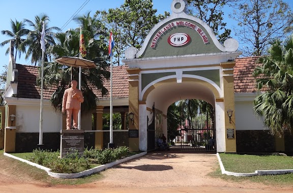
Welcome Village
Badalgama
Health
read more
4.493 km
Apeksha Medical Laboratory
Akaragama Road, Badalgama
Health
read more
4.716 km
Suwana Pharmacy
Puttalam
Health
read more
5.324 km
Family Medical Center
Negombo-Kurunegala Road
Health
read more
8.15 km
Asiri Medi Lab
Puttalam
Health
read more
10.402 km
Dr upul medical center
Deeparama Mawatha, Kirimatiyana Junction
Health
read more
10.503 km
Dankotuwa Medicle
Negombo-Kurunegala Road, Dankotuwa
Health
read more
10.619 km
Digna Institute of Stritch
Dankotuwa
Health
read more
11.761 km
Jeewanthi Pharmacy
Divulapitiya
Health
read more
11.839 km
Durdans Divulapitiya
Divulapitiya
Health
read more
12.061 km
Rawana helaweda Resort
New Lanka Road
Health
read more
13.879 km
Medical Clinic
Negombo
Health
read more
14.298 km
St. Mary's Medical Center
Negombo
Health
read more
16.122 km
Sandya Herath Home for Adults
Sri Lanka
Health
read more
17.082 km
Ashtanga Ayurvedic (Pvt) Ltd
132, Poruthota Road, Ethukala, Negombo
Health
read more
17.503 km
Villa Sarana
School Lane, Negombo
Health
read more
18.038 km
Healing Hands Home - Reiki Center
190 Lewis Place, Negombo
Health
read more
18.103 km
Lab Medica Medical Laboratories
100, Jumma Masjid Road, Negombo
Health
read more
18.971 km
Government Medical Centre
Kaleliya - Medagampitiya Road, Pallewela
Health
read more
19.153 km
Nipun Medi Lab
Negombo
Health
read more
19.211 km
Jude Elder Care Home
No 18 galison Road, Negombo
Health
read more
19.395 km
Foot Comfort
Negombo
Health
read more
19.47 km
Yoga & Fitness School - Grand Traverse
Grand Traverse, No 10, Samagi Mawatha, Negombo
Health
read more
19.572 km
Negombo Opticians
Greens Road, Negombo
Health
read more
📑
all categories
Accounting
Administrative area level 1
Administrative area level 2
Airport
Amusement park
Aquarium
Art gallery
Atm
Bakery
Bank
Bar
Beauty salon
Bicycle store
Book store
Bowling alley
Bus station
Cafe
Campground
Car dealer
Car rental
Car repair
Car wash
Casino
Cemetery
Church
City hall
Clothing store
Colloquial area
Convenience store
Country
Courthouse
Dentist
Department store
Doctor
Electrician
Electronics store
Embassy
Finance
Fire station
Florist
Food
Funeral home
Furniture store
Gas station
General contractor
Grocery or supermarket
Gym
Hair care
Hardware store
Health
Hindu Temple
Home goods store
Hospital
Insurance agency
Intersection
Jewelry store
Laundry
Lawyer
Library
Light rail station
Liquor store
Local government office
Locality
Locksmith
Lodging
Meal delivery
Meal takeaway
Mosque
Movie rental
Movie theater
Moving company
Museum
Natural feature
Neighborhood
Night club
Painter
Park
Parking
Pet store
Pharmacy
Physiotherapist
Place of worship
Plumber
Point of interest
Police
Political
Post office
Premise
Real estate agency
Restaurant
Roofing contractor
Route
Rv park, camping
School
Shoe store
Shopping mall
Spa
Stadium
Storage
Store
Subpremise
Supermarket
Synagogue
Taxi stand
Train station
Transit station
Travel agency
University
Veterinary care
Zoo
administrative area level 3
sublocality level 1
sublocality level 2
↑