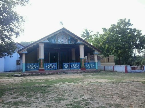
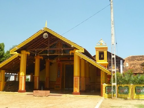
Hindu Temple nearby Arulampala Swami
Sri Lanka
Hindu Temple nearby Arulampala Swami
Arulampala Swami
Point Pedro Sri Lanka
contacts phone
:
+94
Latitude:
9.8261155
, Longitude:
80.2192309
read more
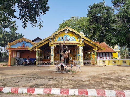
nearest Hindu Temple
82 m
Viyaparimoolai Sri Aathisiva Veerapathirar Dhevasthanam
Point Pedro
Hindu Temple
read more
196 m
Kamakshi Amman Temple
Point Pedro
Hindu Temple
read more
223 m
Aaththiyadi Pillaiyar Temple
Point Pedro
Hindu Temple
read more
315 m
Vaththanai Njana Vairavar Aalayam
Point Pedro
Hindu Temple
read more
471 m
பழவத்தை வியாபாரிமூலை தோப்புமணல் ஞானவைரவர் ஆலயம்
Point Pedro
Hindu Temple
read more
505 m
Mudikcodrawatthai Pillaiyar Kovil
Point Pedro
Hindu Temple
read more
531 m
பழவத்தை சாமுண்டிகாகாளியம்மன் ஆலயம்
Point Pedro
Hindu Temple
read more
565 m
Vaththanai Katpaka Vinayakar Aalayam
Point Pedro
Hindu Temple
read more
576 m
Viyaaparimoolai Pillaiyaar Kovil
Point Pedro
Hindu Temple
read more
748 m
Veluppathi Virumar Kovil
Point Pedro
Hindu Temple
read more
774 m
Mayakkai Pillaiyar Temple
Point Pedro
Hindu Temple
read more
796 m
மருதந்தெணி மகமாரி அம்மன்
AB21, Point Pedro
Hindu Temple
read more
796 m
மருதந்தெணி மகமாரி அம்மன் - திருநாவலூர்
AB21, Point Pedro
Hindu Temple
read more
850 m
Mavadi Gnanavairaver temple
Point Pedro
Hindu Temple
read more
854 m
Alvai pillaiyar kovil
Alvai
Hindu Temple
read more
898 m
Veerapathirar Temple
Point Pedro
Hindu Temple
read more
934 m
Maalandhanai Pillayar Kovil
Point Pedro
Hindu Temple
read more
1.044 km
Alvai Muthumary Amman Kovil
Alvai
Hindu Temple
read more
1.06 km
Alvai Vevilanthai Sri Muthumari Amman
Point Pedro
Hindu Temple
read more
1.115 km
Amman Kovil
Point Pedro
Hindu Temple
read more
1.35 km
Kumladdy Pillaiyar
Point Pedro
Hindu Temple
read more
1.647 km
SinnaPillayar Kovil
Point Pedro
Hindu Temple
read more
1.693 km
Periya Pillaiyar Kovil
AB20, Point Pedro
Hindu Temple
read more
2.035 km
Manthikai Kannakai Amman Kovil
Point Pedro
Hindu Temple
read more
2.543 km
Vathiri Ulliyanollai Kannakai Amman Kovil
Point Pedro
Hindu Temple
read more
📑
all categories
Accounting
Administrative area level 1
Administrative area level 2
Airport
Amusement park
Aquarium
Art gallery
Atm
Bakery
Bank
Bar
Beauty salon
Bicycle store
Book store
Bowling alley
Bus station
Cafe
Campground
Car dealer
Car rental
Car repair
Car wash
Casino
Cemetery
Church
City hall
Clothing store
Colloquial area
Convenience store
Country
Courthouse
Dentist
Department store
Doctor
Electrician
Electronics store
Embassy
Finance
Fire station
Florist
Food
Funeral home
Furniture store
Gas station
General contractor
Grocery or supermarket
Gym
Hair care
Hardware store
Health
Hindu Temple
Home goods store
Hospital
Insurance agency
Intersection
Jewelry store
Laundry
Lawyer
Library
Light rail station
Liquor store
Local government office
Locality
Locksmith
Lodging
Meal delivery
Meal takeaway
Mosque
Movie rental
Movie theater
Moving company
Museum
Natural feature
Neighborhood
Night club
Painter
Park
Parking
Pet store
Pharmacy
Physiotherapist
Place of worship
Plumber
Point of interest
Police
Political
Post office
Premise
Real estate agency
Restaurant
Roofing contractor
Route
Rv park, camping
School
Shoe store
Shopping mall
Spa
Stadium
Storage
Store
Subpremise
Supermarket
Synagogue
Taxi stand
Train station
Transit station
Travel agency
University
Veterinary care
Zoo
administrative area level 3
sublocality level 1
sublocality level 2
↑