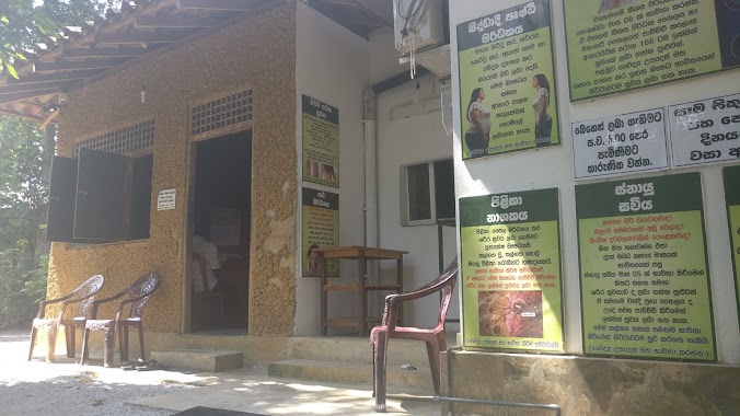
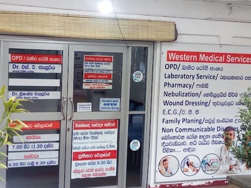
Hospital nearby Dental Hospital
Sri Lanka
Hospital nearby Dental Hospital
Dental Hospital
Kotte - Bope Road, Homagama, Colombo, LK Sri Lanka
contacts phone
:
+94
Latitude:
6.8772231
, Longitude:
79.9898796
larger map & directions
read more
nearest Hospital
11 m
Jiwaka Medical Center
Thaldiyawala
Hospital
read more
154 m
Medical Clinic
Thaldiyawala
Hospital
read more
154 m
Medical Center
Thaldiyawala
Hospital
read more
164 m
Life Line Medical Center And Laboratory.
Thaldiyawala
Hospital
read more
222 m
Asiri Laboratory Collection Centre
Athurugiriya Road
Hospital
read more
514 m
First Care Medical Centre
Oruwala Road, Homagama
Hospital
read more
515 m
Oruwala Hospital
Sri Lanka
Hospital
read more
516 m
Athurugiriya Hospital
102 Kaduwela - Athurugiriya Road
Hospital
read more
1.282 km
Asiri Collecting Centre, Athurugiriya
Athurugiriya
Hospital
read more
1.282 km
Moratuwa Hana Rod Jayamawatha
Moratuwahena Road
Hospital
read more
1.836 km
Dr. Gayan Dispensary
Horahena, Hokandara
Hospital
read more
2.011 km
Isiwara Healthcare Centre
Old Godagama Road, Hokandara
Hospital
read more
2.363 km
Dr. Chandanee Dispensary
Arangala, Hokandara
Hospital
read more
2.412 km
Rukmalgama Central Dispensary
Athurugiriya Road, Pannipitiya
Hospital
read more
2.615 km
Gampaha Medical Center
Hokandara North, Hokandara
Hospital
read more
2.77 km
Habarakada Nursing Home
B240, Habarakada
Hospital
read more
2.786 km
Sinhala Kadum Bidum Veda Madura
Perakum Mawatha
Hospital
read more
2.832 km
Siddhadi Ayurveda
Homagama
Hospital
read more
2.953 km
Wanaguru Ayurveda
Habarakada South
Hospital
read more
2.964 km
Ayurveda Medcal Center
Sri Lanka
Hospital
read more
2.974 km
Mahajana Nursing Home
Athurugiriya Road, Pannipitiya
Hospital
read more
3.517 km
MOH Clinic
Kottawa - Malabe Road, Pannipitiya
Hospital
read more
3.722 km
Seth Ulpatha Weda Madura
Malabe West, Malabe
Hospital
read more
3.733 km
Medical Centre
725/10 Malabe Road, Pannipitiya
Hospital
read more
4.105 km
MOH office
Malabe
Hospital
read more
📑
all categories
Accounting
Administrative area level 1
Administrative area level 2
Airport
Amusement park
Aquarium
Art gallery
Atm
Bakery
Bank
Bar
Beauty salon
Bicycle store
Book store
Bowling alley
Bus station
Cafe
Campground
Car dealer
Car rental
Car repair
Car wash
Casino
Cemetery
Church
City hall
Clothing store
Colloquial area
Convenience store
Country
Courthouse
Dentist
Department store
Doctor
Electrician
Electronics store
Embassy
Finance
Fire station
Florist
Food
Funeral home
Furniture store
Gas station
General contractor
Grocery or supermarket
Gym
Hair care
Hardware store
Health
Hindu Temple
Home goods store
Hospital
Insurance agency
Intersection
Jewelry store
Laundry
Lawyer
Library
Light rail station
Liquor store
Local government office
Locality
Locksmith
Lodging
Meal delivery
Meal takeaway
Mosque
Movie rental
Movie theater
Moving company
Museum
Natural feature
Neighborhood
Night club
Painter
Park
Parking
Pet store
Pharmacy
Physiotherapist
Place of worship
Plumber
Point of interest
Police
Political
Post office
Premise
Real estate agency
Restaurant
Roofing contractor
Route
Rv park, camping
School
Shoe store
Shopping mall
Spa
Stadium
Storage
Store
Subpremise
Supermarket
Synagogue
Taxi stand
Train station
Transit station
Travel agency
University
Veterinary care
Zoo
administrative area level 3
sublocality level 1
sublocality level 2
↑