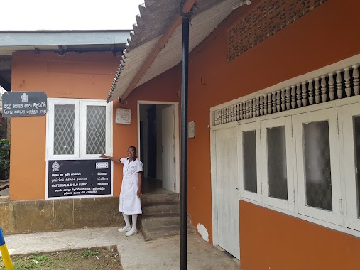
Hospital nearby Union Hospital
Sri Lanka
Hospital nearby Union Hospital
Union Hospital
903/c, Udawatta Road, Malabe, Colombo, LK Sri Lanka
contacts phone
:
+94
Latitude:
6.9035553
, Longitude:
79.9539075
larger map & directions
read more
nearest Hospital
11 m
City Medical
829/8, Udawaththa Rd, Malabe
Hospital
read more
125 m
Shanthi Medical Centre
Thalangama North, B
Hospital
read more
189 m
Punarjanee Weda Asapuwa
823/A/3, New Kandy Road, Malabe
Hospital
read more
209 m
Ayurdha Medhavi Ayurvedic Hospital
Thalangama North, 743/5, New Kandy Road, Battaramulla
Hospital
read more
246 m
K.B.dasanayake Channeling Center
411/1B Athurugiriya Road, Malabe
Hospital
read more
247 m
Dr.D.K.B.Dasanayaka
411/1B Athurugiriya Road, Malabe
Hospital
read more
648 m
Durdans Laboratory
743/5e New Kandy Road, Malabe
Hospital
read more
727 m
Pothuarawa PHM Office
Unnamed Road, Malabe
Hospital
read more
824 m
Natural Back Health Service
Malabe
Hospital
read more
825 m
Medical Center
Udawatta Road, Malabe
Hospital
read more
939 m
Opex Eye Care
Susilarama Road, Sri Jayawardenepura Kotte
Hospital
read more
984 m
MOH office
Malabe
Hospital
read more
1.005 km
Weda Gedara
Susilarama Road, Sri Jayawardenepura Kotte
Hospital
read more
1.096 km
Chamber Of Speech
Sri Lanka
Hospital
read more
1.115 km
Dr.P.J.Weeraratne
Muttettugoda
Hospital
read more
1.166 km
Suwasahana Hospital
Malabe
Hospital
read more
1.212 km
Seth Ulpatha Weda Madura
Malabe West, Malabe
Hospital
read more
1.634 km
Arogya Medi House
298 Kaduwela Road, Sri Jayawardenepura Kotte
Hospital
read more
1.635 km
Arogya Medical Center
Wijayaba
Hospital
read more
1.66 km
AROGYA MEDI HOUSE
264 Kaduwela Road, Malabe
Hospital
read more
1.839 km
Batapotha Medical Centre
258/A Robert Gunawardena Mawatha, Sri Jayawardenepura Kotte
Hospital
read more
1.867 km
Batapotha MCH Clinic
345 Nugadeniya Road
Hospital
read more
2.089 km
National Institute of mental health- Half way home, Mulleriyawa
Rajasinghagama
Hospital
read more
2.092 km
Half Way Home Mulleriyawa
Sri Rajasinghe Mawatha
Hospital
read more
2.209 km
Jayalath Medical Centre
6.919533, 79.942009
Hospital
read more
📑
all categories
Accounting
Administrative area level 1
Administrative area level 2
Airport
Amusement park
Aquarium
Art gallery
Atm
Bakery
Bank
Bar
Beauty salon
Bicycle store
Book store
Bowling alley
Bus station
Cafe
Campground
Car dealer
Car rental
Car repair
Car wash
Casino
Cemetery
Church
City hall
Clothing store
Colloquial area
Convenience store
Country
Courthouse
Dentist
Department store
Doctor
Electrician
Electronics store
Embassy
Finance
Fire station
Florist
Food
Funeral home
Furniture store
Gas station
General contractor
Grocery or supermarket
Gym
Hair care
Hardware store
Health
Hindu Temple
Home goods store
Hospital
Insurance agency
Intersection
Jewelry store
Laundry
Lawyer
Library
Light rail station
Liquor store
Local government office
Locality
Locksmith
Lodging
Meal delivery
Meal takeaway
Mosque
Movie rental
Movie theater
Moving company
Museum
Natural feature
Neighborhood
Night club
Painter
Park
Parking
Pet store
Pharmacy
Physiotherapist
Place of worship
Plumber
Point of interest
Police
Political
Post office
Premise
Real estate agency
Restaurant
Roofing contractor
Route
Rv park, camping
School
Shoe store
Shopping mall
Spa
Stadium
Storage
Store
Subpremise
Supermarket
Synagogue
Taxi stand
Train station
Transit station
Travel agency
University
Veterinary care
Zoo
administrative area level 3
sublocality level 1
sublocality level 2
↑