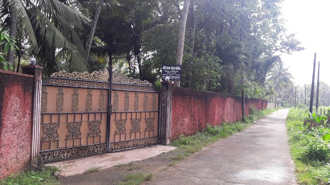
Local government office nearby Pradeshiya Saba
Sri Lanka
Local government office nearby Pradeshiya Saba
Pradeshiya Saba
Akuressa - Malimbada Road, Akuressa Sri Lanka
contacts phone
:
+94
Latitude:
6.0961077
, Longitude:
80.4825863
read more
nearest Local government office
616 m
Heladiwa Medical Center
No. 44, Matara Road, Akuressa, A17, Akuressa
Local government office
read more
744 m
Akuressa Pradeshiya Sabha
Akuressa
Local government office
read more
2.467 km
Grama Niladhari
Matara-Akuressa Highway, Pahuranwila
Local government office
read more
2.467 km
Grama Niladhari
A24, Pahuranwila
Local government office
read more
3.637 km
Seva Piyasa - Poratota
Matara
Local government office
read more
9.828 km
MOH Office Kamburupitiya/ වෙෙද්ය නිලධාරී කායර්ාලය - කඹුරුපිටිය.
Matara
Local government office
read more
9.95 km
Pradeshiya Saba
Kamburupitiya Pradeshiya Sabawa, Kirinda Rd Kamburupitiya - Kirinda Road, Kamburupitiya
Local government office
read more
10.65 km
Marriage Registrars Pitabeddara
Matara
Local government office
read more
12.033 km
Bamunugama West Grama Niladari Office
Sinipalla - Bamunugama Road
Local government office
read more
13.054 km
Thihagoda Pradeshiya Sabawa
Henawaththa Housing Scheme Road, Thihagoda
Local government office
read more
13.187 km
Cultural Center
Polwathumodara - Denipitiya Road, Weligama
Local government office
read more
13.301 km
Pradeshiya Saba
1 Mulatiyana Kamburupitiya Rd, Mulatiyana
Local government office
read more
13.737 km
MOH Office Thihagoda
Matara - Hakmana Road, Thihagoda
Local government office
read more
14.324 km
Registrar Of Marriage Office - Weligama
A2
Local government office
read more
14.687 km
Agrarian Service Centre
Hakmana Mulatiyana Rd, Deiyandara
Local government office
read more
14.938 km
Dialog Office Outlet
Weligama
Local government office
read more
14.999 km
Ceylon Electricity Board
Hetti Weediya, Weligama
Local government office
read more
15.489 km
T.R.I Office
Darangala Road
Local government office
read more
16.164 km
Howpe coroner's office
Howpe Mawella Road
Local government office
read more
16.286 km
Howpe Registry Office Of Births Marriages and Deaths
Galle-Deniyaya-Madampe Highway, Pengirihena
Local government office
read more
16.428 km
MOH Office Morawaka
Deniyaya Road, Kosnilgoda, Morawaka.
Local government office
read more
17.801 km
Mulatiyana Zonal Education Office මුලටියන කළාප අධ්යාපන කාර්යාලය
B275, Hakmana
Local government office
read more
22.297 km
විවාහ රේජිස්ටාර්
Kiralawella Road, Dondra
Local government office
read more
23.865 km
Akmeemana Regional Council
B129
Local government office
read more
25.226 km
Nagoda Pradesheeya Sabha( Local Council)
Nagoda
Local government office
read more
📑
all categories
Accounting
Administrative area level 1
Administrative area level 2
Airport
Amusement park
Aquarium
Art gallery
Atm
Bakery
Bank
Bar
Beauty salon
Bicycle store
Book store
Bowling alley
Bus station
Cafe
Campground
Car dealer
Car rental
Car repair
Car wash
Casino
Cemetery
Church
City hall
Clothing store
Colloquial area
Convenience store
Country
Courthouse
Dentist
Department store
Doctor
Electrician
Electronics store
Embassy
Finance
Fire station
Florist
Food
Funeral home
Furniture store
Gas station
General contractor
Grocery or supermarket
Gym
Hair care
Hardware store
Health
Hindu Temple
Home goods store
Hospital
Insurance agency
Intersection
Jewelry store
Laundry
Lawyer
Library
Light rail station
Liquor store
Local government office
Locality
Locksmith
Lodging
Meal delivery
Meal takeaway
Mosque
Movie rental
Movie theater
Moving company
Museum
Natural feature
Neighborhood
Night club
Painter
Park
Parking
Pet store
Pharmacy
Physiotherapist
Place of worship
Plumber
Point of interest
Police
Political
Post office
Premise
Real estate agency
Restaurant
Roofing contractor
Route
Rv park, camping
School
Shoe store
Shopping mall
Spa
Stadium
Storage
Store
Subpremise
Supermarket
Synagogue
Taxi stand
Train station
Transit station
Travel agency
University
Veterinary care
Zoo
administrative area level 3
sublocality level 1
sublocality level 2
↑