Lodging nearby Hillwood Hotel
Sri Lanka
Lodging nearby Hillwood Hotel
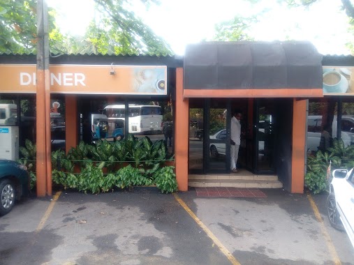
Hillwood Hotel
Gampaha, Sri Lanka
contacts phone
:
+94
Latitude:
7.2170398
, Longitude:
80.1892595
larger map & directions
read more
nearest Lodging
918 m
Rangana Hotel
Warakapola By Pass Road, Warakapola
Lodging
read more
1.25 km
Sharu Hotel
Sri Lanka
Lodging
read more
1.373 km
Sobasee Banquet
Warakapola By Pass Road, Warakapola
Lodging
read more
1.537 km
Saleem Hotel
Colombo - Kandy Road, Warakapola
Lodging
read more
1.63 km
Lakma Holidays
Pilanduwa Road, Warakapola
Lodging
read more
2.164 km
Piyarathna Hotel
B90, Danowita
Lodging
read more
2.164 km
Piyarathna Hotel
Danowita - Mirigama Road, Danowita
Lodging
read more
2.203 km
Rock Side Hotel
Danowita
Lodging
read more
2.285 km
Lakshan Hotel
Sri Lanka
Lodging
read more
2.599 km
FoxHill Resourt
A1, Horagasmankada
Lodging
read more
2.699 km
Silvana mount Hotel
Gampaha
Lodging
read more
2.902 km
Hotel Siyapatha
Horagasmankada
Lodging
read more
2.943 km
The 2nd Home Hotel Warakapola
Colombo - Kandy Highway, Warakapola
Lodging
read more
3.045 km
Salika Inn
317 Kandy Road Ambepussa, Ambepussa
Lodging
read more
3.406 km
Hotel Sobavee
7.240513, 80.209107
Lodging
read more
3.432 km
Ambepussa Rest House
A1, Ambepussa
Lodging
read more
3.459 km
Hotel Ambepussa
Colombo - Kandy Road, Ambepussa
Lodging
read more
3.667 km
Wishro Homestay & Tours
Ambepussa
Lodging
read more
3.804 km
Apple Green Hotel & Bakers
Ambepussa
Lodging
read more
3.817 km
Nugasewana Hotel
Sri Lanka
Lodging
read more
4.939 km
Athu Sewana Bath Kade
no 83, Kandy Road, Weweldeniya
Lodging
read more
5.077 km
Elephant Villa
Field view terrace, kandy road, weweldeniya,
Lodging
read more
5.295 km
Hotel Royal Park
Weweldeniya
Lodging
read more
5.33 km
Mahajana Hotel
Weweldeniya
Lodging
read more
5.73 km
Batteel Hotel
Ambepussa - Kurunegala - Trincomalee Highway
Lodging
read more
📑
all categories
Accounting
Administrative area level 1
Administrative area level 2
Airport
Amusement park
Aquarium
Art gallery
Atm
Bakery
Bank
Bar
Beauty salon
Bicycle store
Book store
Bowling alley
Bus station
Cafe
Campground
Car dealer
Car rental
Car repair
Car wash
Casino
Cemetery
Church
City hall
Clothing store
Colloquial area
Convenience store
Country
Courthouse
Dentist
Department store
Doctor
Electrician
Electronics store
Embassy
Finance
Fire station
Florist
Food
Funeral home
Furniture store
Gas station
General contractor
Grocery or supermarket
Gym
Hair care
Hardware store
Health
Hindu Temple
Home goods store
Hospital
Insurance agency
Intersection
Jewelry store
Laundry
Lawyer
Library
Light rail station
Liquor store
Local government office
Locality
Locksmith
Lodging
Meal delivery
Meal takeaway
Mosque
Movie rental
Movie theater
Moving company
Museum
Natural feature
Neighborhood
Night club
Painter
Park
Parking
Pet store
Pharmacy
Physiotherapist
Place of worship
Plumber
Point of interest
Police
Political
Post office
Premise
Real estate agency
Restaurant
Roofing contractor
Route
Rv park, camping
School
Shoe store
Shopping mall
Spa
Stadium
Storage
Store
Subpremise
Supermarket
Synagogue
Taxi stand
Train station
Transit station
Travel agency
University
Veterinary care
Zoo
administrative area level 3
sublocality level 1
sublocality level 2
↑