Lodging nearby Mountain View Inn
Sri Lanka
Lodging nearby Mountain View Inn
Mountain View Inn
Toppass, Sri Lanka
contacts phone
:
+94
Latitude:
6.9939095
, Longitude:
80.7487959
larger map & directions
read more
nearest Lodging
63 m
Toppass View Cottage
PBC Highway
Lodging
read more
161 m
Hillclimb Guesthouse
Lodging
read more
195 m
Relax Apartments
Lodging
read more
220 m
The Royal Terrace Holiday Bungalow
426/5, Kodigahakelle, Toppass, Nuwara Eliya
Lodging
read more
257 m
Chil Bungalow
261/12, Top pass, Kandy Road, නුවරඑළිය
Lodging
read more
262 m
Hill Breeze Villa
10 Kandy Road, Nuwara Eliya
Lodging
read more
263 m
Health Watch Holiday Resort
Sri Lanka
Lodging
read more
267 m
Yoho Vintage Courtyard Hotel
Kandy Road,Toppass
Lodging
read more
268 m
Yoho Toppass Breeze Hotel
426/2, Kandy Road, Toppass
Lodging
read more
303 m
Ranmin Cottagers B14-2
A5
Lodging
read more
303 m
Ranmin Cottagers B14-2
PBC Highway
Lodging
read more
310 m
Hill Tea View
426/10 Avissawella-Hatton-Nuwara Eliya Highway, Nuwara Eliya
Lodging
read more
314 m
Srilanka Telecom Holiday Bungalow
Lodging
read more
318 m
SLT Circuit Bungalow Nuwara Eliya
4/12, Avissawella-Hatton-Nuwara Eliya Highway
Lodging
read more
329 m
ferndale
No 509, Kandy road, Toppaz, නුවරඑළිය
Lodging
read more
334 m
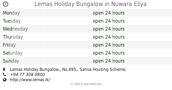
Lemas Holiday Bungalow
Lemas Holiday Bungalow,, No.495,, Sansa Housing Scheme, Nuwara Eliya
Lodging
read more
360 m
axon villa
Sri Lanka
Lodging
read more
371 m
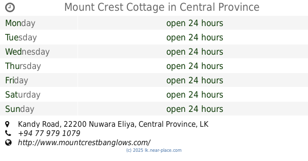
Mount Crest Cottage
Kandy Road
Lodging
read more
372 m
Misty Hills Cottage
509/11, Sanasa Complex, Toppass, Kandy Road, නුවරඑළිය
Lodging
read more
386 m
Nisasala 1
B-5.1/B-5.2, sanasa complex, Kandy road, PBC Highway, Nuwara Eliya
Lodging
read more
392 m
Ranmin Cottages A5
PBC Highway
Lodging
read more
407 m
The Picnik Holiday Bungalows.
A5 Kandy rod, Toppas, Nuwara Eliya., A5, Nuwara Eliya
Lodging
read more
411 m
Forest View Lodge
Lodging
read more
421 m
Ranmin Cottages B92
PBC Highway
Lodging
read more
651 m
Luxe Wilderness
465/1 Kandy Road Bambarakelle (near 63rd km post
Lodging
read more
📑
all categories
Accounting
Administrative area level 1
Administrative area level 2
Airport
Amusement park
Aquarium
Art gallery
Atm
Bakery
Bank
Bar
Beauty salon
Bicycle store
Book store
Bowling alley
Bus station
Cafe
Campground
Car dealer
Car rental
Car repair
Car wash
Casino
Cemetery
Church
City hall
Clothing store
Colloquial area
Convenience store
Country
Courthouse
Dentist
Department store
Doctor
Electrician
Electronics store
Embassy
Finance
Fire station
Florist
Food
Funeral home
Furniture store
Gas station
General contractor
Grocery or supermarket
Gym
Hair care
Hardware store
Health
Hindu Temple
Home goods store
Hospital
Insurance agency
Intersection
Jewelry store
Laundry
Lawyer
Library
Light rail station
Liquor store
Local government office
Locality
Locksmith
Lodging
Meal delivery
Meal takeaway
Mosque
Movie rental
Movie theater
Moving company
Museum
Natural feature
Neighborhood
Night club
Painter
Park
Parking
Pet store
Pharmacy
Physiotherapist
Place of worship
Plumber
Point of interest
Police
Political
Post office
Premise
Real estate agency
Restaurant
Roofing contractor
Route
Rv park, camping
School
Shoe store
Shopping mall
Spa
Stadium
Storage
Store
Subpremise
Supermarket
Synagogue
Taxi stand
Train station
Transit station
Travel agency
University
Veterinary care
Zoo
administrative area level 3
sublocality level 1
sublocality level 2
↑