Lodging nearby Pirasanna Hottle
Sri Lanka
Lodging nearby Pirasanna Hottle
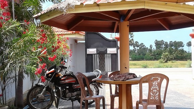
Pirasanna Hottle
Meesalai East, Sri Lanka
contacts phone
:
+94
Latitude:
9.6777974
, Longitude:
80.196338
larger map & directions
read more
nearest Lodging
162 m
Ramavil Murugan Unavakam
A9, Meesalai East
Lodging
read more
2.872 km
Kumpaveli Beach
Jaffna
Lodging
read more
3.747 km
Star Hotel
Chavakachcheri
Lodging
read more
3.971 km
Marutham Cafe
Chavakachcheri
Lodging
read more
3.982 km
Shankari's House
05 Serrukal Pillaiyar Road, Chavakachcheri
Lodging
read more
4.198 km
Muslim hotel
Chavakachcheri
Lodging
read more
5.356 km
Holy Family Convent
Mirusuvil, A9
Lodging
read more
11.359 km
Student accommodation, Jaffna University
கைதடி, A9
Lodging
read more
12.222 km
R T K HOME PVT
avarankal east puttur,, Jaffna
Lodging
read more
12.667 km
Pearl Hotel
Chavakachcheri
Lodging
read more
12.82 km
PJ Hotels
Avarangal Junction, Atchuvely
Lodging
read more
13.175 km
Jeyahs Hotel
oraam kaddai junction, point pedro
Lodging
read more
13.452 km
Yarl Beach Hotel
Vallai, AB20
Lodging
read more
14.836 km
Kawtharimunai Sand Mountain
Kawtharimunai-Poonaryn Road, Pooneryn
Lodging
read more
15.03 km
Classic Catering
Manipay-Kaitadi Road, Jaffna
Lodging
read more
15.834 km
Peace Lanka Resorts And Organic Farm (Pvt) Ltd
Pachchilapalli
Lodging
read more
15.856 km
Kumpi Amman Kovil
Point Pedro
Lodging
read more
15.965 km
Palk bay beach resort
Kilinochchi
Lodging
read more
16.467 km
Iyer Chellaiya cultural hall delicious rice food
sannithi kovil,thondaimanaru
Lodging
read more
17.269 km
Kallady Beach,Poonagary
Kilinochchi
Lodging
read more
17.269 km
Kallady Beach,Poonagary
Distrito de Kilinochchi
Lodging
read more
18.736 km
Pebbles Beach SLAF Holiday Home
AB21, Kankesanturai
Lodging
read more
18.928 km
CTS Hostel
Chunnakam
Lodging
read more
19.574 km
Nilmini Lodge
Jaffna
Lodging
read more
19.95 km
Uthayan Guest House
134 Kannathiddy Road, Jaffna
Lodging
read more
📑
all categories
Accounting
Administrative area level 1
Administrative area level 2
Airport
Amusement park
Aquarium
Art gallery
Atm
Bakery
Bank
Bar
Beauty salon
Bicycle store
Book store
Bowling alley
Bus station
Cafe
Campground
Car dealer
Car rental
Car repair
Car wash
Casino
Cemetery
Church
City hall
Clothing store
Colloquial area
Convenience store
Country
Courthouse
Dentist
Department store
Doctor
Electrician
Electronics store
Embassy
Finance
Fire station
Florist
Food
Funeral home
Furniture store
Gas station
General contractor
Grocery or supermarket
Gym
Hair care
Hardware store
Health
Hindu Temple
Home goods store
Hospital
Insurance agency
Intersection
Jewelry store
Laundry
Lawyer
Library
Light rail station
Liquor store
Local government office
Locality
Locksmith
Lodging
Meal delivery
Meal takeaway
Mosque
Movie rental
Movie theater
Moving company
Museum
Natural feature
Neighborhood
Night club
Painter
Park
Parking
Pet store
Pharmacy
Physiotherapist
Place of worship
Plumber
Point of interest
Police
Political
Post office
Premise
Real estate agency
Restaurant
Roofing contractor
Route
Rv park, camping
School
Shoe store
Shopping mall
Spa
Stadium
Storage
Store
Subpremise
Supermarket
Synagogue
Taxi stand
Train station
Transit station
Travel agency
University
Veterinary care
Zoo
administrative area level 3
sublocality level 1
sublocality level 2
↑