Lodging nearby Sugala Devi Hostal
Sri Lanka
Lodging nearby Sugala Devi Hostal
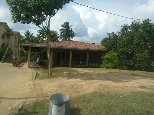
Sugala Devi Hostal
Kurunegala, Sri Lanka
contacts phone
:
+94 71 548 3700
Latitude:
7.3210825
, Longitude:
79.9871059
larger map & directions
read more
nearest Lodging
64 m
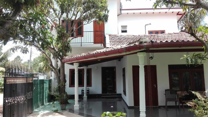
Viharamaha Devi Hostel
Mankadura, Gonawila
Lodging
read more
108 m
Biso Bandara Hostel
Negombo-Kurunegala Road
Lodging
read more
112 m
Veediya Bandara Hostel - වීදිය බන්ඩාර නේවාසිකාගාරය
Kurunegala
Lodging
read more
144 m
Sapumal Bandara Hostel
Negombo-Kurunegala Road
Lodging
read more
252 m
University Canteen
Lodging
read more
261 m
Ana Bodima
Sri Lanka
Lodging
read more
546 m
Le Village Restaurant & Guest House
Kurunegala Road, Makandura, Gonawila
Lodging
read more
633 m
Ludwig's Home
No.318, Makandura Gonawila., Gonawila
Lodging
read more
720 m
RARDC Circuit Bungalow
Sri Lanka
Lodging
read more
1.376 km
S & N Bojunhala
Kurunegala
Lodging
read more
1.792 km
Costa Hostels
Makandura, Gonawila,
Lodging
read more
1.821 km
The Notary's House
Mawathahena Watta, Gonawila, Makandura
Lodging
read more
1.903 km
LA Queens Banquet Hall
Kurunegala
Lodging
read more
2.095 km
Winmira Hotel
Negombo-Kurunegala Road
Lodging
read more
3.407 km
Hotel Decora - CLOUD
Badalgama Road, Makandura
Lodging
read more
3.407 km
Hotel Decora - CLOUD
B503, Makandura
Lodging
read more
3.92 km
ඔය අද්දර හොටෙල්
Pannala-Mallawagedara Road, Pannala
Lodging
read more
4.018 km
Ramzan Cool Spot & Hotel
Sri Lanka
Lodging
read more
4.018 km
Ramzan Cool Spot & Hotel
Lodging
read more
5.222 km
Mahagedara Reception Hall
Pannala-Kuliyapitiya Road
Lodging
read more
5.345 km
J&S Hotel
Pannala-Mallawagedara Road, Pannala
Lodging
read more
5.956 km
Diklande Estate Bungalow
Badalgama
Lodging
read more
10.968 km
Tharindu Food Center
Unnamed Road
Lodging
read more
15.721 km
Rashmi Hotel
Sri Lanka
Lodging
read more
19.278 km
House of Seya
Negombo-Minuwangoda Road, Negombo
Lodging
read more
📑
all categories
Accounting
Administrative area level 1
Administrative area level 2
Airport
Amusement park
Aquarium
Art gallery
Atm
Bakery
Bank
Bar
Beauty salon
Bicycle store
Book store
Bowling alley
Bus station
Cafe
Campground
Car dealer
Car rental
Car repair
Car wash
Casino
Cemetery
Church
City hall
Clothing store
Colloquial area
Convenience store
Country
Courthouse
Dentist
Department store
Doctor
Electrician
Electronics store
Embassy
Finance
Fire station
Florist
Food
Funeral home
Furniture store
Gas station
General contractor
Grocery or supermarket
Gym
Hair care
Hardware store
Health
Hindu Temple
Home goods store
Hospital
Insurance agency
Intersection
Jewelry store
Laundry
Lawyer
Library
Light rail station
Liquor store
Local government office
Locality
Locksmith
Lodging
Meal delivery
Meal takeaway
Mosque
Movie rental
Movie theater
Moving company
Museum
Natural feature
Neighborhood
Night club
Painter
Park
Parking
Pet store
Pharmacy
Physiotherapist
Place of worship
Plumber
Point of interest
Police
Political
Post office
Premise
Real estate agency
Restaurant
Roofing contractor
Route
Rv park, camping
School
Shoe store
Shopping mall
Spa
Stadium
Storage
Store
Subpremise
Supermarket
Synagogue
Taxi stand
Train station
Transit station
Travel agency
University
Veterinary care
Zoo
administrative area level 3
sublocality level 1
sublocality level 2
↑