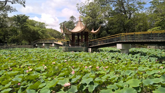
Park nearby Kräutergarten
Sri Lanka
Park nearby Kräutergarten
Kräutergarten
Negombo-Minuwangoda Road, Negombo, LK Sri Lanka
contacts phone
:
+94
Latitude:
7.1980123
, Longitude:
79.8630564
larger map & directions
read more
nearest Park
1.379 km
St Anne's Cemetery
Negombo
Park
read more
2.209 km
Rukmani Devi Park
Negombo
Park
read more
2.261 km
Rajapakse Park
Negombo
Park
read more
3.552 km
Grass Suppliers (Malaysian Grass Suppliers Sri Lanka)
No:76,Mankuliya road,Negombo, Negombo
Park
read more
3.706 km
Lusena Grass Suppliers ( Malaysian Grass Suppliers In Sri Lanka )
No:546/5/G,Pitipana north,, Negombo
Park
read more
3.947 km
Airport New Remote Car Park
Katunayake
Park
read more
4.124 km
Paradise Park
Andiambalama
Park
read more
4.47 km
MAS Active Leisureline
Katunayake
Park
read more
4.869 km
Browns Beach, Negombo
63 Porutota Road, Negombo
Park
read more
5.833 km
SM Grass Suppliers
No 13/12 Pamunugama Road, Negombo
Park
read more
6.918 km
Negombo Rifle Club
No. 142 B468, Katana
Park
read more
9.924 km
Cashew Nut Forest
Nivasie Pura
Park
read more
9.937 km
Nivasie Pura Pond
Nivasie Pura
Park
read more
10.067 km
Urban Council Playground
Ellangala
Park
read more
10.145 km
Children Park
Minuwangoda
Park
read more
10.169 km
Parakrama Park
Minuwangoda
Park
read more
10.478 km
Ballstate Socialist Republic
B137, Dankotuwa
Park
read more
10.98 km
Paththaduwana Cemetry
Yagodamulla
Park
read more
14.347 km
Kings drive park කින්ග්ස් ඩරයිව් පාක්
Unnamed Road, Ja-Ela
Park
read more
15.339 km
Udugampola Jogging Track
Udugampola Roundabout, Udugampola
Park
read more
15.653 km
Gallegedara Paddy Field
gallegedara,western province
Park
read more
17.306 km
Henarathgoda Botanical Garden
Gampaha
Park
read more
17.602 km
sandalanka foundation
sandalanawa foundation,madurugamuwa Rd,
Park
read more
19.749 km
Walkway Parking & Rest
Gampaha
Park
read more
19.776 km
Forestero Garden
Kurunegala
Park
read more
📑
all categories
Accounting
Administrative area level 1
Administrative area level 2
Airport
Amusement park
Aquarium
Art gallery
Atm
Bakery
Bank
Bar
Beauty salon
Bicycle store
Book store
Bowling alley
Bus station
Cafe
Campground
Car dealer
Car rental
Car repair
Car wash
Casino
Cemetery
Church
City hall
Clothing store
Colloquial area
Convenience store
Country
Courthouse
Dentist
Department store
Doctor
Electrician
Electronics store
Embassy
Finance
Fire station
Florist
Food
Funeral home
Furniture store
Gas station
General contractor
Grocery or supermarket
Gym
Hair care
Hardware store
Health
Hindu Temple
Home goods store
Hospital
Insurance agency
Intersection
Jewelry store
Laundry
Lawyer
Library
Light rail station
Liquor store
Local government office
Locality
Locksmith
Lodging
Meal delivery
Meal takeaway
Mosque
Movie rental
Movie theater
Moving company
Museum
Natural feature
Neighborhood
Night club
Painter
Park
Parking
Pet store
Pharmacy
Physiotherapist
Place of worship
Plumber
Point of interest
Police
Political
Post office
Premise
Real estate agency
Restaurant
Roofing contractor
Route
Rv park, camping
School
Shoe store
Shopping mall
Spa
Stadium
Storage
Store
Subpremise
Supermarket
Synagogue
Taxi stand
Train station
Transit station
Travel agency
University
Veterinary care
Zoo
administrative area level 3
sublocality level 1
sublocality level 2
↑