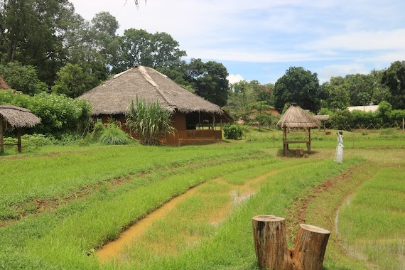
Park nearby Market Park
Sri Lanka
Park nearby Market Park
Market Park
Fair Avenue, Kegalle, Kegalle, LK Sri Lanka
contacts phone
:
+94
Latitude:
7.2522824
, Longitude:
80.3421549
larger map & directions
read more
nearest Park
403 m
Childrens Park
Kegalle
Park
read more
935 m
Kurulu Kele Observatory
A1, Kegalle
Park
read more
935 m
Kurulu Kele Observatory
A1, Kegalla
Park
read more
1.32 km
Kurulu Kele Bird Sanctuary
Kegalle
Park
read more
1.337 km
Police Park
Kegalle
Park
read more
1.337 km
Police Park
Kegalla
Park
read more
4.031 km
Threeweel Park
Galigamuwa
Park
read more
4.653 km
25, The island spice grove
No 25 mawanella kegalle, Kegalla
Park
read more
4.702 km
Elephant Village
Molagoda
Park
read more
5.062 km
Janith
Havanegedara Beligala, Veragoda Road
Park
read more
5.158 km
Hettimulla Playground
Hettimulla
Park
read more
5.797 km
Pinnawala Jumbos
Kegalle
Park
read more
6.89 km
Iparanigama Theme Park
Wagolla, Rambukkana
Park
read more
7.326 km
PGB Kalugalla Park
Rambukkana
Park
read more
9.444 km
Railway Museum and Park
Rambukkana
Park
read more
9.826 km
Rambukkana Children Park
Rambukkana
Park
read more
9.838 km
Mike Flora
Rambukkana-Mawanella Road, Rambukkana
Park
read more
10.928 km
Constable Sabhan Memorial
A1, Mawanella
Park
read more
11.002 km
Managala Rock
Mabopitiya-Degalateriya Rd
Park
read more
11.234 km
Government Reserve Forest
Rambukkana
Park
read more
11.872 km
Pitapurana Rubber Estate & Bungalow.
Ihala lenagala,, Tuntota
Park
read more
12.886 km
Thulhiriya Forest Reserve
Thulhiriya
Park
read more
13.308 km
Government Reservation Forest
Rambukkana
Park
read more
14.101 km
Balalgala Rock
Mabopitiya-Eregama-Dampelgoda Road, Ilwana
Park
read more
18.311 km
Oleedeniya Well
Hakurugammana
Park
read more
📑
all categories
Accounting
Administrative area level 1
Administrative area level 2
Airport
Amusement park
Aquarium
Art gallery
Atm
Bakery
Bank
Bar
Beauty salon
Bicycle store
Book store
Bowling alley
Bus station
Cafe
Campground
Car dealer
Car rental
Car repair
Car wash
Casino
Cemetery
Church
City hall
Clothing store
Colloquial area
Convenience store
Country
Courthouse
Dentist
Department store
Doctor
Electrician
Electronics store
Embassy
Finance
Fire station
Florist
Food
Funeral home
Furniture store
Gas station
General contractor
Grocery or supermarket
Gym
Hair care
Hardware store
Health
Hindu Temple
Home goods store
Hospital
Insurance agency
Intersection
Jewelry store
Laundry
Lawyer
Library
Light rail station
Liquor store
Local government office
Locality
Locksmith
Lodging
Meal delivery
Meal takeaway
Mosque
Movie rental
Movie theater
Moving company
Museum
Natural feature
Neighborhood
Night club
Painter
Park
Parking
Pet store
Pharmacy
Physiotherapist
Place of worship
Plumber
Point of interest
Police
Political
Post office
Premise
Real estate agency
Restaurant
Roofing contractor
Route
Rv park, camping
School
Shoe store
Shopping mall
Spa
Stadium
Storage
Store
Subpremise
Supermarket
Synagogue
Taxi stand
Train station
Transit station
Travel agency
University
Veterinary care
Zoo
administrative area level 3
sublocality level 1
sublocality level 2
↑