Park nearby Pussakanda Reserve
Sri Lanka
Park nearby Pussakanda Reserve
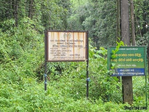
Pussakanda Reserve
Dewala Road Sri Lanka
contacts phone
:
+94
Latitude:
6.786911
, Longitude:
80.3168017
read more
nearest Park
9.677 km
Treshure Park Malangama Hidallana
Ratnapura
Park
read more
10.134 km
Lotus Resort
Kohiladeniya Estate, Eheliyagoda
Park
read more
13.09 km
Katugas Ella (Waterfall)
Ratnapura
Park
read more
13.191 km
Sri Pada (Adams Peak) - Kuruwita Erathna Trail
Kuruwita Erathna Sripada foot path, Erathna
Park
read more
14.712 km
Diamondgala Ambalama
Kuruwita Erathna Sripada foot path
Park
read more
14.856 km
Waranagala waterfall
Ratnapura
Park
read more
15.792 km
Vasana Island
Sri Lanka
Park
read more
15.942 km
Dhahan Waka
Noori Road, Deraniyagala
Park
read more
16.467 km
Thalumpitiya Junction
Sri Lanka
Park
read more
17.152 km
Udagama Waterfall
Udagama
Park
read more
17.944 km
surathura plant Nursery
Baduwatta Road
Park
read more
18.464 km
Hora Forest Reservation
Meepe - Ingiriya Road, Handapangoda
Park
read more
18.464 km
Hora Forest Reservation
Meepe - Ingiriya Rd, Handapangoda
Park
read more
18.85 km
Bodinagala Forest Reserve (Dobagaskanda)
Bodhinagala Road
Park
read more
18.877 km
Pamalu Nature Eco Lodge
6.944614, 80.253444, Pamalu Trail
Park
read more
19.761 km
Seethawaka Wet Zone Botanic Gardens
B426
Park
read more
19.966 km
Seethawaka Miracle
No:200/4B Dunkolahena Road Hewainna Avissawella
Park
read more
23.479 km
Mawak Oya Park
Sri Lanka
Park
read more
24.012 km
Peak Wilderness Sanctuary
B339, Nallatanniya
Park
read more
24.797 km
Tea Estate
Pelmadulla
Park
read more
25.312 km
Serendib Adventures - Rafting Boat House
main sreet, Kitulgala
Park
read more
25.553 km
Attala Pitiya
Sri Lanka
Park
read more
26.977 km
Koskanda Forest
Kananpella
Park
read more
27.51 km
Jungle River
Jungle River, Ginigathhena
Park
read more
28.398 km
Kiribathgala
Pelmadulla
Park
read more
📑
all categories
Accounting
Administrative area level 1
Administrative area level 2
Airport
Amusement park
Aquarium
Art gallery
Atm
Bakery
Bank
Bar
Beauty salon
Bicycle store
Book store
Bowling alley
Bus station
Cafe
Campground
Car dealer
Car rental
Car repair
Car wash
Casino
Cemetery
Church
City hall
Clothing store
Colloquial area
Convenience store
Country
Courthouse
Dentist
Department store
Doctor
Electrician
Electronics store
Embassy
Finance
Fire station
Florist
Food
Funeral home
Furniture store
Gas station
General contractor
Grocery or supermarket
Gym
Hair care
Hardware store
Health
Hindu Temple
Home goods store
Hospital
Insurance agency
Intersection
Jewelry store
Laundry
Lawyer
Library
Light rail station
Liquor store
Local government office
Locality
Locksmith
Lodging
Meal delivery
Meal takeaway
Mosque
Movie rental
Movie theater
Moving company
Museum
Natural feature
Neighborhood
Night club
Painter
Park
Parking
Pet store
Pharmacy
Physiotherapist
Place of worship
Plumber
Point of interest
Police
Political
Post office
Premise
Real estate agency
Restaurant
Roofing contractor
Route
Rv park, camping
School
Shoe store
Shopping mall
Spa
Stadium
Storage
Store
Subpremise
Supermarket
Synagogue
Taxi stand
Train station
Transit station
Travel agency
University
Veterinary care
Zoo
administrative area level 3
sublocality level 1
sublocality level 2
↑