Pharmacy nearby Sampath Pharmacy
Sri Lanka
Pharmacy nearby Sampath Pharmacy
Sampath Pharmacy
B13, Ragama, Gampaha, LK Sri Lanka
contacts phone
:
+94 112 960 999
Latitude:
7.0240425
, Longitude:
79.9079924
larger map & directions
read more
nearest Pharmacy
931 m
Reliable Pharmacy & Franchise Osusala
No 548, Negombo Rd, Mahabage, mahabage
Pharmacy
read more
1.315 km
Rajya Osu Sala (SPC)
State Pharmaceuticals Corporation, Mahabage Road, Ragama,
Pharmacy
read more
1.352 km
Suwasala Pharmacy
358 Negombo Road, Ragama
Pharmacy
read more
1.352 km
Suwasala Pharmacy
Sri Lanka
Pharmacy
read more
1.352 km
Suwasala Pharmacy
Pharmacy
read more
1.376 km
Y-Sen (Pvt) Ltd
Peralanda Road, Ragama
Pharmacy
read more
1.517 km
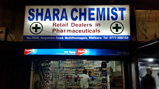
Shara Chemist
Chilaw - Colombo Main Road, Chilaw
Pharmacy
read more
1.612 km
Peralanda Pharmacy
Peralanda Road, Ragama
Pharmacy
read more
1.637 km
Ragama Phamacy
34, Thewatta Road, Ragama
Pharmacy
read more
1.664 km
Ragama Pharmacy 2
Ragama
Pharmacy
read more
1.743 km
New City Pharmacy
Thewatta Road, Ragama
Pharmacy
read more
1.744 km
Alliance Pharmacy
Pulinathalarama Rd Magammana, 75/5 Pulinathalarama Road, Magammana
Pharmacy
read more
1.776 km
Isura Pharmacy
Ragama
Pharmacy
read more
2.665 km
Arangala Ayurvedic Pharmacy
Wattala
Pharmacy
read more
2.826 km
Sethma Pharmacy
Kandana
Pharmacy
read more
2.854 km
Orient Pharmacy
No. 24, Negombo Road, Kandana
Pharmacy
read more
3.006 km
Dove Pharmacy
B13
Pharmacy
read more
3.02 km
Kandana Osusala
Kandana
Pharmacy
read more
3.233 km
Lanmed (Pvt) Ltd
215/1/S Gunawardane Mawatha, Kerawalapitiya Road, Hendala, Wattala
Pharmacy
read more
3.399 km
Sanura Pharmacy
B460, Wattala
Pharmacy
read more
3.524 km
Shalom Pharma
120 Kerawalapitiya Road, Wattala
Pharmacy
read more
3.524 km
Shalom Pharma
Sri Lanka
Pharmacy
read more
3.952 km
Peoples Pharmacy
Hendala Road, Wattala
Pharmacy
read more
4.082 km
Pasyale Ayurveda Osu (PVT) LTD.
Gampaha
Pharmacy
read more
4.955 km
ATMISTA Lanka Coatings (Pvt) Ltd
No 181, Negombo Rd, Peliyagoda,
Pharmacy
read more
📑
all categories
Accounting
Administrative area level 1
Administrative area level 2
Airport
Amusement park
Aquarium
Art gallery
Atm
Bakery
Bank
Bar
Beauty salon
Bicycle store
Book store
Bowling alley
Bus station
Cafe
Campground
Car dealer
Car rental
Car repair
Car wash
Casino
Cemetery
Church
City hall
Clothing store
Colloquial area
Convenience store
Country
Courthouse
Dentist
Department store
Doctor
Electrician
Electronics store
Embassy
Finance
Fire station
Florist
Food
Funeral home
Furniture store
Gas station
General contractor
Grocery or supermarket
Gym
Hair care
Hardware store
Health
Hindu Temple
Home goods store
Hospital
Insurance agency
Intersection
Jewelry store
Laundry
Lawyer
Library
Light rail station
Liquor store
Local government office
Locality
Locksmith
Lodging
Meal delivery
Meal takeaway
Mosque
Movie rental
Movie theater
Moving company
Museum
Natural feature
Neighborhood
Night club
Painter
Park
Parking
Pet store
Pharmacy
Physiotherapist
Place of worship
Plumber
Point of interest
Police
Political
Post office
Premise
Real estate agency
Restaurant
Roofing contractor
Route
Rv park, camping
School
Shoe store
Shopping mall
Spa
Stadium
Storage
Store
Subpremise
Supermarket
Synagogue
Taxi stand
Train station
Transit station
Travel agency
University
Veterinary care
Zoo
administrative area level 3
sublocality level 1
sublocality level 2
↑