Point of interest nearby Electronics and Telecommunication Engineering Wing
Sri Lanka
Point of interest nearby Electronics and Telecommunication Engineering Wing
Electronics and Telecommunication Engineering Wing
Katunayake Sri Lanka
contacts phone
:
+94
Latitude:
7.1800909
, Longitude:
79.8792302
read more
nearest Point of interest
950 m
Meteorological Briefing Centre For Flight
Katunayake
Point of interest
read more
960 m
Dialog
Katunayake
Point of interest
read more
986 m
Aeronautical Information Services Briefing Centre
Bandaranaike International Airport, Katunayake
Point of interest
read more
1.024 km
Line Maintenance Srilankan Airlines
Canada Friendship Rd Katunayake 11450
Point of interest
read more
1.037 km
Global Hands
Katunayake
Point of interest
read more
1.042 km
Cinnamon Air Aerodrome at Bandaranaike International Airport
Katunayake-Veyangoda Road, Katunayake
Point of interest
read more
1.044 km
Serendib Airport Services (Pvt) Ltd
Katunayake-Veyangoda Road, Katunayake
Point of interest
read more
1.078 km
Mobitel Service Point - Depatures
Katunayake
Point of interest
read more
1.081 km
Dialog Service Centre Airport Depature
Katunayake
Point of interest
read more
1.082 km
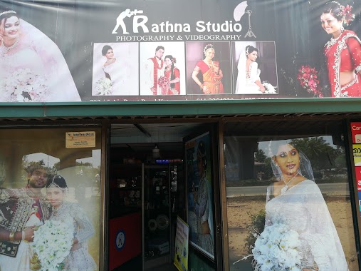
Rathna Studio
Katunayake
Point of interest
read more
1.137 km
Dialog Service Centre Airport (Arrivals)
Katunayake
Point of interest
read more
1.143 km
Mobitel Service Point Airport (Arrivals)
Katunayake
Point of interest
read more
1.161 km
JNW Lanka Tours (AIRPORT TRAVEL COUNTER ) at ARRIVAL TERMINAL
Travel Service Counter (No: 06), Arrival Terminal, Arrival Lobby Area, Bandaranaike International Airprot, Katunayake
Point of interest
read more
1.284 km
BOI Trade Zone Main Gate
Katunayake
Point of interest
read more
1.3 km
Go Around Tours Sri Lanka
216 Welabada Road, Katunayake
Point of interest
read more
📑
all categories
Accounting
Administrative area level 1
Administrative area level 2
Airport
Amusement park
Aquarium
Art gallery
Atm
Bakery
Bank
Bar
Beauty salon
Bicycle store
Book store
Bowling alley
Bus station
Cafe
Campground
Car dealer
Car rental
Car repair
Car wash
Casino
Cemetery
Church
City hall
Clothing store
Colloquial area
Convenience store
Country
Courthouse
Dentist
Department store
Doctor
Electrician
Electronics store
Embassy
Finance
Fire station
Florist
Food
Funeral home
Furniture store
Gas station
General contractor
Grocery or supermarket
Gym
Hair care
Hardware store
Health
Hindu Temple
Home goods store
Hospital
Insurance agency
Intersection
Jewelry store
Laundry
Lawyer
Library
Light rail station
Liquor store
Local government office
Locality
Locksmith
Lodging
Meal delivery
Meal takeaway
Mosque
Movie rental
Movie theater
Moving company
Museum
Natural feature
Neighborhood
Night club
Painter
Park
Parking
Pet store
Pharmacy
Physiotherapist
Place of worship
Plumber
Point of interest
Police
Political
Post office
Premise
Real estate agency
Restaurant
Roofing contractor
Route
Rv park, camping
School
Shoe store
Shopping mall
Spa
Stadium
Storage
Store
Subpremise
Supermarket
Synagogue
Taxi stand
Train station
Transit station
Travel agency
University
Veterinary care
Zoo
administrative area level 3
sublocality level 1
sublocality level 2
↑