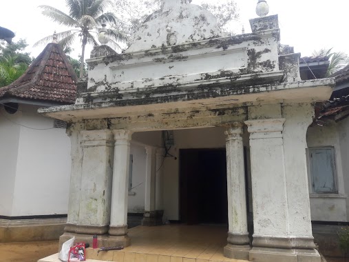
Premise nearby 32/1 bridge
Sri Lanka
Premise nearby 32/1 bridge
32/1 bridge
Nittambuwa - Ruwanwella Road, Kegalle, Sabaragamuwa Province, LK Sri Lanka
contacts phone
:
+94
Latitude:
7.0421679
, Longitude:
80.2446959
larger map & directions
read more
nearest Premise
777 m
Ruwanwella Sangili Palama
Ruwanwella
Premise
read more
880 m
Temple Morawatta
Ruwanwella
Premise
read more
1.041 km
Veyangoda Road
Ruwanwella
Premise
read more
1.079 km
Ruwanwella Clock Tower
Ruwanwella
Premise
read more
1.113 km
Jubili Ambalama- Ruwanwella
Ruwanwella
Premise
read more
1.113 km
Ruwanwella Jubili Ambalama
Ruwanwella
Premise
read more
1.124 km
Hakurugala Rajamaha Viharaya.
Sri Lanka
Premise
read more
1.546 km
T.V.Ananda Ranasinghe
Ruwanwella
Premise
read more
1.916 km
Morawatte Temple
Sri Lanka
Premise
read more
1.962 km
Ruwanwella Divisional Secretariat Office
Vandala
Premise
read more
2.006 km
Govijana sewa
Vandala
Premise
read more
2.606 km
Anguruwella Bridge
Ruwanwella
Premise
read more
2.734 km
Childrens Park
Ruwanwella
Premise
read more
2.77 km
Karawanella Roundabout
Karawanella
Premise
read more
2.791 km
Ra kade
Sri Lanka
Premise
read more
3.069 km
Sriniketharama Temple Imbulana
Ruwanwella
Premise
read more
3.148 km
Karawanella Bridge
Sri Lanka
Premise
read more
3.239 km
Daigala Buddhist Temple
Daigala
Premise
read more
3.48 km
Statue of Lord Buddha
Sri Lanka
Premise
read more
3.625 km
Doranuwa Temple
Sri Lanka
Premise
read more
4.149 km
Warawala Old Bridge
Sri Lanka
Premise
read more
4.583 km
Buddhist Temple
Magammana
Premise
read more
4.656 km
Sri Abhinawaramaya Temple
Sri Lanka
Premise
read more
4.802 km
Kapuwella Buddhist Temple
Sri Lanka
Premise
read more
5.92 km
Playground
Mahadeniya
Premise
read more
📑
all categories
Accounting
Administrative area level 1
Administrative area level 2
Airport
Amusement park
Aquarium
Art gallery
Atm
Bakery
Bank
Bar
Beauty salon
Bicycle store
Book store
Bowling alley
Bus station
Cafe
Campground
Car dealer
Car rental
Car repair
Car wash
Casino
Cemetery
Church
City hall
Clothing store
Colloquial area
Convenience store
Country
Courthouse
Dentist
Department store
Doctor
Electrician
Electronics store
Embassy
Finance
Fire station
Florist
Food
Funeral home
Furniture store
Gas station
General contractor
Grocery or supermarket
Gym
Hair care
Hardware store
Health
Hindu Temple
Home goods store
Hospital
Insurance agency
Intersection
Jewelry store
Laundry
Lawyer
Library
Light rail station
Liquor store
Local government office
Locality
Locksmith
Lodging
Meal delivery
Meal takeaway
Mosque
Movie rental
Movie theater
Moving company
Museum
Natural feature
Neighborhood
Night club
Painter
Park
Parking
Pet store
Pharmacy
Physiotherapist
Place of worship
Plumber
Point of interest
Police
Political
Post office
Premise
Real estate agency
Restaurant
Roofing contractor
Route
Rv park, camping
School
Shoe store
Shopping mall
Spa
Stadium
Storage
Store
Subpremise
Supermarket
Synagogue
Taxi stand
Train station
Transit station
Travel agency
University
Veterinary care
Zoo
administrative area level 3
sublocality level 1
sublocality level 2
↑