Premise nearby Doranadiwala Viharaya
Sri Lanka
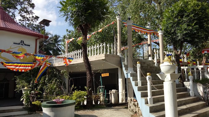
Premise nearby Doranadiwala Viharaya
Doranadiwala Viharaya
Sri Lanka
contacts phone
:
+94
Latitude:
7.0475707
, Longitude:
80.0643189
larger map & directions
read more
nearest Premise
975 m
Malwathu Hiripitiya Fair Grounds
Malwathu Hiripitiya
Premise
read more
977 m
Mawathu Hiripitiya Cooperative stock
Malwathu Hiripitiya
Premise
read more
1.3 km
Horagahalanda Watta
Malwathu Hiripitiya
Premise
read more
1.402 km
Malwathu Hiripitiya Ground
Malwathu Hiripitiya
Premise
read more
1.51 km
Sri Sugathabimbaramaya Purana Viharaya
Sri Lanka
Premise
read more
1.524 km
Buddhist Temple
Batepola
Premise
read more
1.968 km
Akasa Chaittiya Maligatenna
Sri Lanka
Premise
read more
2.263 km
Maligatenna Dageba
Sri Lanka
Premise
read more
2.328 km
Sri Ganarama Purana Viharaya
Kahatana
Premise
read more
2.36 km
Ancient Lake in Pilikuttuwa
Sri Lanka
Premise
read more
2.364 km
Wood Bridge
Sri Lanka
Premise
read more
2.393 km
Vihara Mandiraya
Sri Lanka
Premise
read more
2.413 km
Manorame Lena
Sri Lanka
Premise
read more
2.416 km
Old Stairs in Belungala
Sri Lanka
Premise
read more
2.43 km
Ancient Pond
Sri Lanka
Premise
read more
2.465 km
Sri Naagendraramaya
Batepola
Premise
read more
2.579 km
Mal Asanaya
Sri Lanka
Premise
read more
2.843 km
Bajaj Three Wheel Service Station
Kinigama
Premise
read more
3.074 km
Darshana Hardware
Kinigama
Premise
read more
3.664 km
Mini Market
Wathurugama
Premise
read more
3.694 km
Grade 6 Building
Sri Lanka
Premise
read more
4.087 km
Papolgahadeniya Temple
Gampaha
Premise
read more
4.522 km
Kanthi Play Ground
Weliweriya
Premise
read more
4.751 km
Buddhist Temple
Wathurugama
Premise
read more
4.809 km
Keragala Patmavathi Rajamaha Viharaya
Sri Lanka
Premise
read more
📑
all categories
Accounting
Administrative area level 1
Administrative area level 2
Airport
Amusement park
Aquarium
Art gallery
Atm
Bakery
Bank
Bar
Beauty salon
Bicycle store
Book store
Bowling alley
Bus station
Cafe
Campground
Car dealer
Car rental
Car repair
Car wash
Casino
Cemetery
Church
City hall
Clothing store
Colloquial area
Convenience store
Country
Courthouse
Dentist
Department store
Doctor
Electrician
Electronics store
Embassy
Finance
Fire station
Florist
Food
Funeral home
Furniture store
Gas station
General contractor
Grocery or supermarket
Gym
Hair care
Hardware store
Health
Hindu Temple
Home goods store
Hospital
Insurance agency
Intersection
Jewelry store
Laundry
Lawyer
Library
Light rail station
Liquor store
Local government office
Locality
Locksmith
Lodging
Meal delivery
Meal takeaway
Mosque
Movie rental
Movie theater
Moving company
Museum
Natural feature
Neighborhood
Night club
Painter
Park
Parking
Pet store
Pharmacy
Physiotherapist
Place of worship
Plumber
Point of interest
Police
Political
Post office
Premise
Real estate agency
Restaurant
Roofing contractor
Route
Rv park, camping
School
Shoe store
Shopping mall
Spa
Stadium
Storage
Store
Subpremise
Supermarket
Synagogue
Taxi stand
Train station
Transit station
Travel agency
University
Veterinary care
Zoo
administrative area level 3
sublocality level 1
sublocality level 2
↑