Premise nearby Jayathilakaramaya Temple
Coronavirus disease (COVID-19) Situation
confirmed cases
672754
deaths
16897
Sri Lanka
Premise nearby Jayathilakaramaya Temple
Jayathilakaramaya Temple
Wattala, Sri Lanka
contacts phone
:
+94
Latitude:
6.9652814
, Longitude:
79.8875633
larger map & directions
read more
nearest Premise
329 m
JTC Peliyagoda Warehouse
Peliyagoda
Premise
read more
334 m
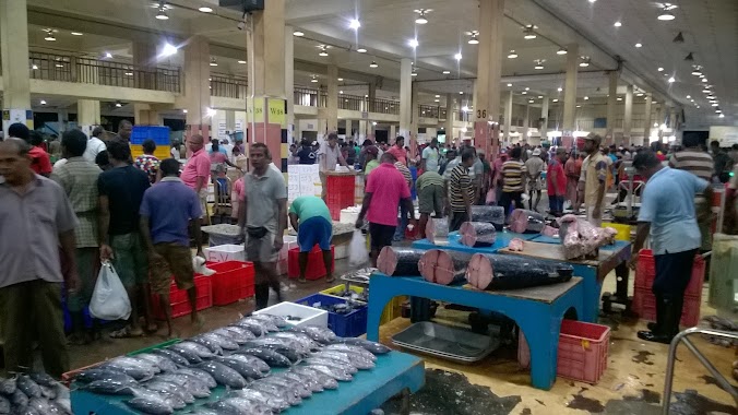
Central Fish Market Complex
Wattala
Premise
read more
341 m
CFS Peliyagoda
Wattala
Premise
read more
350 m
UDA Housing Scheme
Peliyagoda
Premise
read more
409 m
A.M.W
Peliyagoda
Premise
read more
487 m
Industrial Development Board
Peliyagoda
Premise
read more
658 m
MAS Active Central Warehouse
Wattala
Premise
read more
697 m
Nawaloka Group
Wattala
Premise
read more
745 m
Peliyagoda Interchange
Wattala
Premise
read more
811 m
Rohana Viharaya
Peliyagoda
Premise
read more
828 m
Nigrodharamaya
Wattala
Premise
read more
1.04 km
Royal Furnishers Factory / Warehouse
Galwetiyagama
Premise
read more
1.081 km
Sri Lanka Telecom
Peliyagoda
Premise
read more
1.124 km
Japan Friendship Bridge
Colombo
Premise
read more
1.132 km
HNDE Canteen
Colombo 15
Premise
read more
1.137 km
C.W. Mackie PLC, Mattakkuliya Warehouse Complex
Colombo 15
Premise
read more
1.311 km
Mathushani Bra
Peliyagoda
Premise
read more
1.329 km
House of Prayer
Colombo 14
Premise
read more
1.822 km
Fertilizer Store
Colombo
Premise
read more
1.858 km
Perera and Sons
Hekitta
Premise
read more
1.928 km
231, Negombo Road, Wattala., 231 Negombo-Colombo Main Rd
Hekitta
Premise
read more
1.975 km
C. Cyril Mathew Play Ground
Peliyagoda
Premise
read more
1.983 km
Mizpa Prayer House
Colombo 15
Premise
read more
1.987 km
Shanthi Viharaya
Sri Lanka
Premise
read more
1.994 km
HNB Wattala
Awariyawatta
Premise
read more
📑
all categories
Accounting
Administrative area level 1
Administrative area level 2
Airport
Amusement park
Aquarium
Art gallery
Atm
Bakery
Bank
Bar
Beauty salon
Bicycle store
Book store
Bowling alley
Bus station
Cafe
Campground
Car dealer
Car rental
Car repair
Car wash
Casino
Cemetery
Church
City hall
Clothing store
Colloquial area
Convenience store
Country
Courthouse
Dentist
Department store
Doctor
Electrician
Electronics store
Embassy
Finance
Fire station
Florist
Food
Funeral home
Furniture store
Gas station
General contractor
Grocery or supermarket
Gym
Hair care
Hardware store
Health
Hindu Temple
Home goods store
Hospital
Insurance agency
Intersection
Jewelry store
Laundry
Lawyer
Library
Light rail station
Liquor store
Local government office
Locality
Locksmith
Lodging
Meal delivery
Meal takeaway
Mosque
Movie rental
Movie theater
Moving company
Museum
Natural feature
Neighborhood
Night club
Painter
Park
Parking
Pet store
Pharmacy
Physiotherapist
Place of worship
Plumber
Point of interest
Police
Political
Post office
Premise
Real estate agency
Restaurant
Roofing contractor
Route
Rv park, camping
School
Shoe store
Shopping mall
Spa
Stadium
Storage
Store
Subpremise
Supermarket
Synagogue
Taxi stand
Train station
Transit station
Travel agency
University
Veterinary care
Zoo
administrative area level 3
sublocality level 1
sublocality level 2
↑