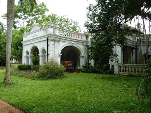
Premise nearby Sri Ammbarukkarama Viharaya-Mugurugampala
Sri Lanka
Premise nearby Sri Ammbarukkarama Viharaya-Mugurugampala
Sri Ammbarukkarama Viharaya-Mugurugampala
Negombo - Mirigama Road, Mirigama, Gampaha, LK Sri Lanka
contacts phone
:
+94
Latitude:
7.247347
, Longitude:
80.122794
larger map & directions
read more
nearest Premise
482 m
Kanway Auto Droome
Mirigama
Premise
read more
601 m
Lamaniwasa Building
Mirigama
Premise
read more
629 m
YMBA Building
Mirigama
Premise
read more
779 m
Mirigama Ground
Mirigama
Premise
read more
820 m
Kanway Autodrome Car Park
Mirigama
Premise
read more
834 m
Mirigama Urban Council
Mirigama
Premise
read more
1.332 km
Kirimatiulla Raja Maha Viharaya
Mirigama
Premise
read more
1.346 km
Hapitigam Academy
Sri Lanka
Premise
read more
1.773 km
Play Ground
Gurullagama
Premise
read more
1.937 km
Sudarmaramaya
Gurullagama
Premise
read more
2.391 km
Public Ground
Sri Lanka
Premise
read more
2.747 km
Mirigama Seth Sevana Elders’ Home
Sri Lanka
Premise
read more
2.861 km
Sri Dewarakkhitha Naaga Mahaa Viharaya
Gurullagama
Premise
read more
3.016 km
Airtel Signal Tower
Sri Lanka
Premise
read more
3.053 km
Sri Sudharshanaramaya Temple - Halugama
Sri Lanka
Premise
read more
3.14 km
Dinendra-Trades
Sri Lanka
Premise
read more
3.14 km
Samupakaraya
Sri Lanka
Premise
read more
4.082 km
Sirisidhdhaththarama Purana Viharaya
Sri Lanka
Premise
read more
4.299 km
Mirigama Export Processing Zone
Sri Lanka
Premise
read more
4.329 km
Parama Nibbana Dharmayathanaya
Sri Lanka
Premise
read more
4.511 km
Madurupitiya - Loluwagoda Road
Sri Lanka
Premise
read more
4.609 km
Bothale Walawwa
Bothale
Premise
read more
4.635 km
Kandangamuwa Sri skyasinharamaya temple
Sri Lanka
Premise
read more
4.988 km
Koskale Forest Reserve
Sri Lanka
Premise
read more
5.613 km
Madurupitiya School Playground
Sri Lanka
Premise
read more
📑
all categories
Accounting
Administrative area level 1
Administrative area level 2
Airport
Amusement park
Aquarium
Art gallery
Atm
Bakery
Bank
Bar
Beauty salon
Bicycle store
Book store
Bowling alley
Bus station
Cafe
Campground
Car dealer
Car rental
Car repair
Car wash
Casino
Cemetery
Church
City hall
Clothing store
Colloquial area
Convenience store
Country
Courthouse
Dentist
Department store
Doctor
Electrician
Electronics store
Embassy
Finance
Fire station
Florist
Food
Funeral home
Furniture store
Gas station
General contractor
Grocery or supermarket
Gym
Hair care
Hardware store
Health
Hindu Temple
Home goods store
Hospital
Insurance agency
Intersection
Jewelry store
Laundry
Lawyer
Library
Light rail station
Liquor store
Local government office
Locality
Locksmith
Lodging
Meal delivery
Meal takeaway
Mosque
Movie rental
Movie theater
Moving company
Museum
Natural feature
Neighborhood
Night club
Painter
Park
Parking
Pet store
Pharmacy
Physiotherapist
Place of worship
Plumber
Point of interest
Police
Political
Post office
Premise
Real estate agency
Restaurant
Roofing contractor
Route
Rv park, camping
School
Shoe store
Shopping mall
Spa
Stadium
Storage
Store
Subpremise
Supermarket
Synagogue
Taxi stand
Train station
Transit station
Travel agency
University
Veterinary care
Zoo
administrative area level 3
sublocality level 1
sublocality level 2
↑