places in Puttalam
Sri Lanka
Puttalam
Puttalam
Administrative Region:
North Western Province
population:
50 615
calling code:
+94-32
postcode:
61300
61326
Location on the map of Sri Lanka
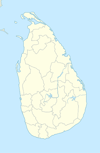
Puttalam
Park
Tabbowa Tank
Anuradhapura Road, Puttalam
Park
read more
Shakthi Ground
Puttalam
Park
read more
Puttalam Children's Park
Puttalam
Park
read more
Children's Park Puttalam
Puttalam
Park
read more
Children Park
Puttalam
Park
read more
Store
Iqbal Motors
no 07 road Puttalam, Colombo
Store
read more
Style Communication
Sri Lanka
Store
read more
Police quartes
Anuradhapura Road, Puttalam
Store
read more
New In Touch Mobile
Sri Lanka
Store
read more
Zarook Motors
Puttalam
Store
read more
Orient Motor Company
7 A3, Puttalam
Store
read more
Shehan Phone Shop
Sri Lanka
Store
read more
Melwood International (PVT) LTD
Puttalam
Store
read more
T Mobile
Sri Lanka
Store
read more
Maas Optikal & Eye Clinic
Sri Lanka
Store
read more
Red & Black Shoes And Bags Shop
Katugastota-Kurunegala-Puttalam Highway, Puttalam
Store
read more
Nashaf Hotel
3rd Cross Street, Puttalam
Store
read more
Star Mobile
Sri Lanka
Store
read more
Priyantha Time & Phone Center
Sri Lanka
Store
read more
Raigam Salt
Palaviya
Store
read more
Bus station
Main Bus Station Puttalam
Puttalam
Bus station
read more
Puttlam Bus Depot
Katugastota-Kurunegala-Puttalam Highway, Puttalam
Bus station
read more
Palaviya Bus Stop
A3
Bus station
read more
Willuwa Watta
Katugastota-Kurunegala-Puttalam Highway, Puttalam
Bus station
read more
Palaviya Bus Stop
A3, Palaviya
Bus station
read more
Convenience store
Style Super City
A3, Palaviya
Convenience store
read more
Asanka Stores
Cement Factory Road, Kalladiya
Convenience store
read more
Pearl Grocery
Cement Factory Road, Puttalam
Convenience store
read more
Gym
Zahira College Play Ground
Puttalam
Gym
read more
Khan Fitness Center
Katugastota-Kurunegala-Puttalam Highway, Puttalam
Gym
read more
📑
Puttalam all categories
Accounting
Airport
Atm
Bakery
Bank
Bar
Beauty salon
Bicycle store
Book store
Bus station
Cafe
Car repair
Cemetery
Church
City hall
Clothing store
Convenience store
Courthouse
Dentist
Doctor
Electronics store
Finance
Food
Funeral home
Furniture store
Gas station
General contractor
Grocery or supermarket
Gym
Hardware store
Health
Hindu Temple
Home goods store
Hospital
Insurance agency
Jewelry store
Laundry
Lawyer
Library
Liquor store
Local government office
Locality
Lodging
Mosque
Movie rental
Movie theater
Natural feature
Neighborhood
Park
Parking
Pharmacy
Place of worship
Point of interest
Police
Post office
Premise
Restaurant
Route
School
Shoe store
Shopping mall
Store
Supermarket
Train station
Transit station
Travel agency
University
sublocality level 1
↑