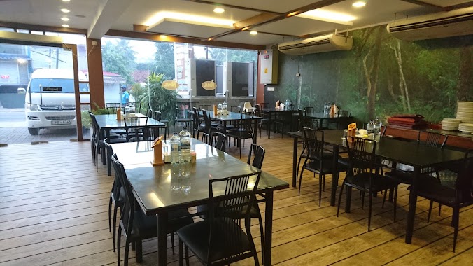
Restaurant nearby Alawala Water Drafting
Sri Lanka
Restaurant nearby Alawala Water Drafting
Alawala Water Drafting
Kegalle, Sri Lanka
contacts phone
:
+94
Latitude:
7.1237399
, Longitude:
80.1967765
larger map & directions
read more
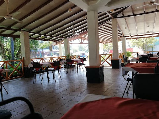
nearest Restaurant
2.74 km
amaya hotel
Restaurant
read more
5.999 km
Hopper Shop
Gampaha
Restaurant
read more
8.741 km
Nihla & Hotel
Nabuluwa
Restaurant
read more
9.499 km
Nihal Family Restuarant
173/B Colombo-Kandy Hwy, Pasyala
Restaurant
read more
9.753 km
Sathsara Catering
Kegalle
Restaurant
read more
9.941 km
Fazan Shop
Kotiyakumbura
Restaurant
read more
10.29 km
ගමේ කඩේ Gamee Kade
Gampaha
Restaurant
read more
10.569 km
Wela Mada Kade
Kandy Road, Nittambuwa
Restaurant
read more
10.632 km
Appa Spot Aka
A1
Restaurant
read more
10.655 km
Oyisis Restaurant
Pasyala - Giriulla Road, Veyangoda
Restaurant
read more
11.321 km
Ranathisara Reception Hall
A1, Nittambuwa
Restaurant
read more
11.526 km
Mountain Ray Restaurent
Nittambuwa
Restaurant
read more
12.003 km
Hima Chinese Food
Warakapola
Restaurant
read more
12.489 km
Imsanda Restaurant
Kegalle
Restaurant
read more
12.492 km
Pol Athu Bath Kade
A1
Restaurant
read more
13.086 km
Awanhala
Kandy Road, Ambepussa
Restaurant
read more
13.182 km
Priyantha Resturant
Kegalle-Bulathkohupitiya-Karawanella Highway
Restaurant
read more
13.202 km
Lucky Hotel
Kegalle
Restaurant
read more
13.303 km
Sena's Family Restaurant
Malwatta Junction, Nittambuwa
Restaurant
read more
14.13 km
Hela Bojun
Colombo - Kandy Road, Nelundeniya
Restaurant
read more
14.388 km
Amasha Food Court
Sri Lanka
Restaurant
read more
14.565 km
D Day Rest
Deraniyagala Road, Magammana
Restaurant
read more
17.084 km
Baduwatta Rest
Kegalle
Restaurant
read more
19.816 km
JW Restaurent
Colombo - Kandy Road, Kegalle
Restaurant
read more
20.529 km
Thimansa Restaurant
Ranwala Junction
Restaurant
read more
📑
all categories
Accounting
Administrative area level 1
Administrative area level 2
Airport
Amusement park
Aquarium
Art gallery
Atm
Bakery
Bank
Bar
Beauty salon
Bicycle store
Book store
Bowling alley
Bus station
Cafe
Campground
Car dealer
Car rental
Car repair
Car wash
Casino
Cemetery
Church
City hall
Clothing store
Colloquial area
Convenience store
Country
Courthouse
Dentist
Department store
Doctor
Electrician
Electronics store
Embassy
Finance
Fire station
Florist
Food
Funeral home
Furniture store
Gas station
General contractor
Grocery or supermarket
Gym
Hair care
Hardware store
Health
Hindu Temple
Home goods store
Hospital
Insurance agency
Intersection
Jewelry store
Laundry
Lawyer
Library
Light rail station
Liquor store
Local government office
Locality
Locksmith
Lodging
Meal delivery
Meal takeaway
Mosque
Movie rental
Movie theater
Moving company
Museum
Natural feature
Neighborhood
Night club
Painter
Park
Parking
Pet store
Pharmacy
Physiotherapist
Place of worship
Plumber
Point of interest
Police
Political
Post office
Premise
Real estate agency
Restaurant
Roofing contractor
Route
Rv park, camping
School
Shoe store
Shopping mall
Spa
Stadium
Storage
Store
Subpremise
Supermarket
Synagogue
Taxi stand
Train station
Transit station
Travel agency
University
Veterinary care
Zoo
administrative area level 3
sublocality level 1
sublocality level 2
↑