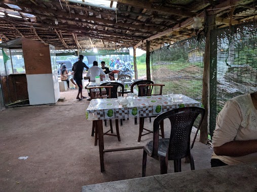
Restaurant nearby Backpoch
Sri Lanka
Restaurant nearby Backpoch
Backpoch
Piliyandala, Sri Lanka
contacts phone
:
+94 72 735 3579
Latitude:
6.8038326
, Longitude:
79.9179478
larger map & directions
read more
nearest Restaurant
2 m
Liyanka Restaurant & Reception
110, Moratuwa
Restaurant
read more
44 m
Liyanka Hotel
Piliyandala
Restaurant
read more
69 m
Restaurant
Sri Devananda Mawatha, Piliyandala
Restaurant
read more
413 m
The Hot Hut - Piliyandala
Suwarapola East, Piliyandala
Restaurant
read more
429 m
Pizza Hut Piliyandala
134E Colombo - Horana Road, Piliyandala
Restaurant
read more
430 m
Omacrich Restaurant
Piliyandala
Restaurant
read more
432 m
Ever Choice
Piliyandala
Restaurant
read more
432 m
Omacrih Resraurent
Piliyandala
Restaurant
read more
509 m
Royal Cafe
Piliyandala
Restaurant
read more
637 m
The New Muslim Hotel
Piliyandala
Restaurant
read more
638 m
Susiko
Piliyandala
Restaurant
read more
642 m
Criterian Restarant and Bar
Piliyandala
Restaurant
read more
644 m
High Way Hotel
Mampe North, Piliyandala
Restaurant
read more
650 m
Hotel De Lalitha
Piliyandala
Restaurant
read more
725 m
PGP Juice Hut
Piliyandala
Restaurant
read more
730 m
Ariyarathna Cafe
Piliyandala
Restaurant
read more
758 m
Donor Kebab
Piliyandala
Restaurant
read more
847 m
Ransara Family Restaurant and Take Away
105 Moratuwa - Piliyandala Road, Moratuwa
Restaurant
read more
851 m
Kamatha Restaurant
Piliyandala
Restaurant
read more
866 m
සුවාරපොළ කොත්තු කඩේ
Suwarapola East, Piliyandala
Restaurant
read more
868 m
Kamatha Avanhala
19 School Lane, Piliyandala
Restaurant
read more
874 m
Siyarasa
Mampe North, Piliyandala
Restaurant
read more
888 m
සුවාරපොල රතු කැකුලු බත් කඩේ
no 269, Moratuwa - Piliyandala Road, Piliyandala
Restaurant
read more
1.005 km
Leisure Food
280/2, Piliyandala Road, Piliyandala
Restaurant
read more
1.131 km
Ambagashandiya
Dampe Road, Piliyandala
Restaurant
read more
📑
all categories
Accounting
Administrative area level 1
Administrative area level 2
Airport
Amusement park
Aquarium
Art gallery
Atm
Bakery
Bank
Bar
Beauty salon
Bicycle store
Book store
Bowling alley
Bus station
Cafe
Campground
Car dealer
Car rental
Car repair
Car wash
Casino
Cemetery
Church
City hall
Clothing store
Colloquial area
Convenience store
Country
Courthouse
Dentist
Department store
Doctor
Electrician
Electronics store
Embassy
Finance
Fire station
Florist
Food
Funeral home
Furniture store
Gas station
General contractor
Grocery or supermarket
Gym
Hair care
Hardware store
Health
Hindu Temple
Home goods store
Hospital
Insurance agency
Intersection
Jewelry store
Laundry
Lawyer
Library
Light rail station
Liquor store
Local government office
Locality
Locksmith
Lodging
Meal delivery
Meal takeaway
Mosque
Movie rental
Movie theater
Moving company
Museum
Natural feature
Neighborhood
Night club
Painter
Park
Parking
Pet store
Pharmacy
Physiotherapist
Place of worship
Plumber
Point of interest
Police
Political
Post office
Premise
Real estate agency
Restaurant
Roofing contractor
Route
Rv park, camping
School
Shoe store
Shopping mall
Spa
Stadium
Storage
Store
Subpremise
Supermarket
Synagogue
Taxi stand
Train station
Transit station
Travel agency
University
Veterinary care
Zoo
administrative area level 3
sublocality level 1
sublocality level 2
↑