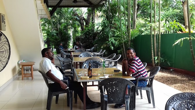
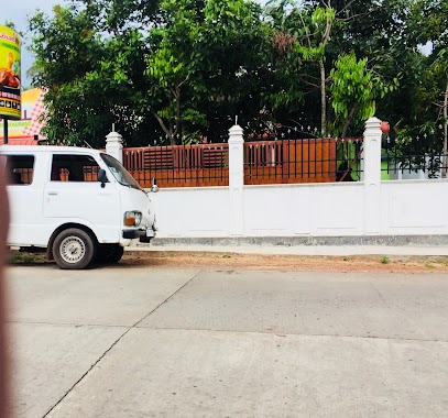
Restaurant nearby Green tunnel
Sri Lanka
Restaurant nearby Green tunnel
Green tunnel
Badalgama, Sri Lanka
contacts phone
:
+94 113 179 381
Latitude:
7.2902122
, Longitude:
80.0012663
larger map & directions
read more
nearest Restaurant
901 m
Calton Restaurant
Gampaha
Restaurant
read more
1.119 km
Enjola Restaurant
Badalgama
Restaurant
read more
2.3 km
Decora Hotel Badalgama
B503, Badalgama
Restaurant
read more
3.136 km
SAMROSE HOTEL
Gampaha
Restaurant
read more
3.394 km
Pillawa Restaurant
Unnamed Road, Godigomuwa
Restaurant
read more
3.517 km
Samrose Hotel
Pannala-Mallawagedara Road
Restaurant
read more
3.943 km
Liyagomuwa Reception Hall
Nalawalana,Gonawila
Restaurant
read more
4 km
Denuwan Hotel
B271
Restaurant
read more
4.255 km
Sampaya Holiday Inn
Kandetiya Road
Restaurant
read more
4.283 km
La Village Restaurant
B308, Makandura
Restaurant
read more
4.283 km
La Village Restaurant
Negombo-Kurunegala Road, Makandura
Restaurant
read more
4.461 km
Sisira Hotel & Bakers
Makandura
Restaurant
read more
4.506 km
RenoWell Family Restaurant
Pannala
Restaurant
read more
4.704 km
Kelum Restaurant
Pannala
Restaurant
read more
4.736 km
The Pub
Negombo-Kurunegala Road
Restaurant
read more
4.833 km
Chanolan Family Restaurant
Gampaha
Restaurant
read more
4.897 km
Pizzeria Italiana di Sampaya
Negombo-Kurunegala Road, Pannala
Restaurant
read more
4.916 km
Pasan Food Center and Bakery
Pannala
Restaurant
read more
4.916 km
Delmo Chicken Sales Outlet
Negombo-Kurunegala Road, Pannala
Restaurant
read more
4.966 km
Mahajana Hotel
Pannala-Kuliyapitiya Road, Pannala
Restaurant
read more
5.241 km
Sandadiya Dahara Restaurant
watakeyawa,gonawila
Restaurant
read more
5.296 km
Sakura Family Restaurant
81/c Pannala-Kuliyapitiya Road, Pannala
Restaurant
read more
5.527 km
Cottage
Pannala-Kuliyapitiya Road, Pannala
Restaurant
read more
5.906 km
Hotel kumbuk sewana
Gampaha
Restaurant
read more
5.91 km
Aramba Bojunhala
Barawawila- Divulapitiya, Ekala - Kotadeniyawa Road
Restaurant
read more
📑
all categories
Accounting
Administrative area level 1
Administrative area level 2
Airport
Amusement park
Aquarium
Art gallery
Atm
Bakery
Bank
Bar
Beauty salon
Bicycle store
Book store
Bowling alley
Bus station
Cafe
Campground
Car dealer
Car rental
Car repair
Car wash
Casino
Cemetery
Church
City hall
Clothing store
Colloquial area
Convenience store
Country
Courthouse
Dentist
Department store
Doctor
Electrician
Electronics store
Embassy
Finance
Fire station
Florist
Food
Funeral home
Furniture store
Gas station
General contractor
Grocery or supermarket
Gym
Hair care
Hardware store
Health
Hindu Temple
Home goods store
Hospital
Insurance agency
Intersection
Jewelry store
Laundry
Lawyer
Library
Light rail station
Liquor store
Local government office
Locality
Locksmith
Lodging
Meal delivery
Meal takeaway
Mosque
Movie rental
Movie theater
Moving company
Museum
Natural feature
Neighborhood
Night club
Painter
Park
Parking
Pet store
Pharmacy
Physiotherapist
Place of worship
Plumber
Point of interest
Police
Political
Post office
Premise
Real estate agency
Restaurant
Roofing contractor
Route
Rv park, camping
School
Shoe store
Shopping mall
Spa
Stadium
Storage
Store
Subpremise
Supermarket
Synagogue
Taxi stand
Train station
Transit station
Travel agency
University
Veterinary care
Zoo
administrative area level 3
sublocality level 1
sublocality level 2
↑