Restaurant nearby Ishara Sri
Sri Lanka
Restaurant nearby Ishara Sri
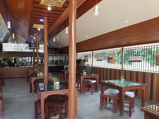
Ishara Sri
Dodangaslanda Road, Ridigama Sri Lanka
contacts phone
:
+94
Latitude:
7.5579055
, Longitude:
80.5501585
read more
nearest Restaurant
4.821 km
Rifkan Chickens
Yatawatta
Restaurant
read more
5.041 km
Mariyam Fast Food
Matale
Restaurant
read more
5.047 km
Hotel Sandun
Dodangaslanda Road
Restaurant
read more
5.05 km
Kaadhar Restaurent
Matale
Restaurant
read more
5.059 km
Hafis Fast Food
Matale
Restaurant
read more
5.213 km
Nikagolla Food Corner
Yatawatta Road
Restaurant
read more
5.217 km
Fasan Chickens
Matale
Restaurant
read more
9.687 km
Capricorn wine store's
Palapathwela - Galewela Road, Pallepola
Restaurant
read more
9.924 km
Hotel Maleesha
Kurunegala
Restaurant
read more
10.157 km
Lareen Restaurant
Aluvihare, Matale
Restaurant
read more
10.322 km
A.R Bake House And Coolspot
Melsiripura
Restaurant
read more
11.203 km
Grand City Hotel & Restaurant
807, A9
Restaurant
read more
11.472 km
Pizza Kitchen & Cafe
Kandy - Jaffna Highway, Madawala
Restaurant
read more
11.814 km
Prasangi Fish Stole
Matale Road, Mandandawela
Restaurant
read more
12.458 km
Sun රේ
No 57/C/18 Abahamula Bus Stand,Matale, Matale
Restaurant
read more
12.865 km
Refresh Coolspot & Family Restaurant
3a Kings Street, Matale
Restaurant
read more
13.336 km
Udana Bake House
Madipola
Restaurant
read more
14.249 km
Sangraha restaurant
A9
Restaurant
read more
14.341 km
Hotel Randeniya
Kurunegala
Restaurant
read more
14.524 km
Restaurant Mahagedara Rattota
105,Matale Road Rattota, Rattota
Restaurant
read more
15.092 km
සත්කාර දැහැන Sathkaara Dehena
Kiriwaula
Restaurant
read more
15.565 km
Chinese Food Takeaway
Rattota
Restaurant
read more
15.614 km
Isuru Uyana Restaurant And Reception Hall
Kumbukwewa
Restaurant
read more
15.922 km
Awanhala
No. 03, Nalanda, Kandy - Jaffna Highway
Restaurant
read more
18.608 km
New Jayasekara Hotel
Kandy - Jaffna Highway, Arangala
Restaurant
read more
📑
all categories
Accounting
Administrative area level 1
Administrative area level 2
Airport
Amusement park
Aquarium
Art gallery
Atm
Bakery
Bank
Bar
Beauty salon
Bicycle store
Book store
Bowling alley
Bus station
Cafe
Campground
Car dealer
Car rental
Car repair
Car wash
Casino
Cemetery
Church
City hall
Clothing store
Colloquial area
Convenience store
Country
Courthouse
Dentist
Department store
Doctor
Electrician
Electronics store
Embassy
Finance
Fire station
Florist
Food
Funeral home
Furniture store
Gas station
General contractor
Grocery or supermarket
Gym
Hair care
Hardware store
Health
Hindu Temple
Home goods store
Hospital
Insurance agency
Intersection
Jewelry store
Laundry
Lawyer
Library
Light rail station
Liquor store
Local government office
Locality
Locksmith
Lodging
Meal delivery
Meal takeaway
Mosque
Movie rental
Movie theater
Moving company
Museum
Natural feature
Neighborhood
Night club
Painter
Park
Parking
Pet store
Pharmacy
Physiotherapist
Place of worship
Plumber
Point of interest
Police
Political
Post office
Premise
Real estate agency
Restaurant
Roofing contractor
Route
Rv park, camping
School
Shoe store
Shopping mall
Spa
Stadium
Storage
Store
Subpremise
Supermarket
Synagogue
Taxi stand
Train station
Transit station
Travel agency
University
Veterinary care
Zoo
administrative area level 3
sublocality level 1
sublocality level 2
↑