Restaurant nearby Restaurant-Nelligahamula
Sri Lanka
Restaurant nearby Restaurant-Nelligahamula
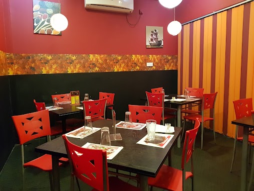
Restaurant-Nelligahamula
Gampaha, Sri Lanka
contacts phone
:
+94
Latitude:
7.084308
, Longitude:
80.0787891
larger map & directions
read more
nearest Restaurant
3.461 km
Gangula Restaurant
Malwathu Hiripitiya
Restaurant
read more
3.517 km
Natasha roxxy Hotel
Gampaha
Restaurant
read more
3.75 km
Anas Hottel(Kt)
Sri Lanka
Restaurant
read more
3.918 km
Bangkok Choice
Sri Lanka
Restaurant
read more
4.209 km
The Legend Restaurant
Kalagedihena
Restaurant
read more
4.23 km
Maximize Food Court
Aluthgama-Bogamuwa, Kalagedihena
Restaurant
read more
4.243 km
Hotel Dhara
Aluthgama-Bogamuwa, Kalagedihena
Restaurant
read more
4.362 km
Hotel Vihens
A1, Kalagedihena
Restaurant
read more
4.426 km
Ruwan Hotel
Gampaha
Restaurant
read more
4.457 km
Chathura Hotel
Colombo - Kandy Road, Gampaha
Restaurant
read more
4.457 km
Rohana Resturant
Kalagedihena
Restaurant
read more
4.457 km
Rohana Restaurant
Kalagedihena
Restaurant
read more
4.463 km
wele Kade
Restaurant
read more
4.657 km
Mother's Kitchen
111/A A1, Kalagedihena
Restaurant
read more
4.68 km
Star Bake House
#219/4 Warana Road Thihariya
Restaurant
read more
4.724 km
New Zumlaa Maniok Chips
281 Waarana Road, Kalagedihena
Restaurant
read more
4.724 km
New Zumlaa Maniok Chips
Restaurant
read more
4.724 km
New Zumlaa Maniok Chips
Sri Lanka
Restaurant
read more
4.846 km
Hot Wok Restaurant and Pub Yakkala
57, A1, Yakkala
Restaurant
read more
4.902 km
Elees FOOD court
Kalagedihena
Restaurant
read more
4.948 km
Tharshan
Yakkala
Restaurant
read more
5.155 km
Ja-Nu Hotel
Veyangoda Rd,, Kalagedihena-Veyangoda Road, Kalagedihena
Restaurant
read more
5.783 km
Senani hotel
Wathupitiwala
Restaurant
read more
5.99 km
The Longway Reception Hall
Udugaha Walpola, Ruggahawila, B445
Restaurant
read more
6.748 km
Green Cabin
Gampaha
Restaurant
read more
📑
all categories
Accounting
Administrative area level 1
Administrative area level 2
Airport
Amusement park
Aquarium
Art gallery
Atm
Bakery
Bank
Bar
Beauty salon
Bicycle store
Book store
Bowling alley
Bus station
Cafe
Campground
Car dealer
Car rental
Car repair
Car wash
Casino
Cemetery
Church
City hall
Clothing store
Colloquial area
Convenience store
Country
Courthouse
Dentist
Department store
Doctor
Electrician
Electronics store
Embassy
Finance
Fire station
Florist
Food
Funeral home
Furniture store
Gas station
General contractor
Grocery or supermarket
Gym
Hair care
Hardware store
Health
Hindu Temple
Home goods store
Hospital
Insurance agency
Intersection
Jewelry store
Laundry
Lawyer
Library
Light rail station
Liquor store
Local government office
Locality
Locksmith
Lodging
Meal delivery
Meal takeaway
Mosque
Movie rental
Movie theater
Moving company
Museum
Natural feature
Neighborhood
Night club
Painter
Park
Parking
Pet store
Pharmacy
Physiotherapist
Place of worship
Plumber
Point of interest
Police
Political
Post office
Premise
Real estate agency
Restaurant
Roofing contractor
Route
Rv park, camping
School
Shoe store
Shopping mall
Spa
Stadium
Storage
Store
Subpremise
Supermarket
Synagogue
Taxi stand
Train station
Transit station
Travel agency
University
Veterinary care
Zoo
administrative area level 3
sublocality level 1
sublocality level 2
↑