School nearby Aluthgama School
Sri Lanka
School nearby Aluthgama School
Aluthgama School
Anuradhapura, Sri Lanka
contacts phone
:
+94
Latitude:
8.4657952
, Longitude:
80.3627651
larger map & directions
read more
nearest School
13 m
A/Aluthgama Darussalam Muslim Vidyalaya
Anuradhapura
School
read more
2.478 km
A/Manarul Ulum Muslim Vidyalaya
Anuradhapura
School
read more
3.063 km
Galpotthegama Vidyalaya
Anuradhapura
School
read more
4.347 km
A/Asariggama muslim vidyalaya
Anuradhapura
School
read more
4.35 km
Helambagaswewa Vidyalaya
Sri Lanka
School
read more
4.762 km
Nursery School Asirikgama
Anuradhapura
School
read more
4.963 km
A/Puwarasnakulama Vidyalaya
Anuradhapura
School
read more
7.452 km
Diganegama Vidyalaya
Elayapatthuwa
School
read more
8.968 km
A / Maningamuwa Dwithika Vidyalaya
Maningamuwa, Elayapaththuwa, Anuradhapura.
School
read more
10.546 km
Thammenna Elawaka Vidyalaya
Mannar Rd
School
read more
11.168 km
A/Kimbulwewa Ananda Vidyalaya
Anuradhapura
School
read more
11.851 km
Oyamaduwa Vidyalaya
Anuradhapura
School
read more
12.723 km
Mahabodhi Maha Vidyalaya
Anuradhapura
School
read more
12.75 km
Hathareswela Vidyalaya
Anuradhapura
School
read more
14.701 km
Isurumuniya Vidyalaya
A28, Anuradhapura
School
read more
15.025 km
Sigithi Uyana Nursery
Maithripala Senanayake Mawatha, Anuradhapura
School
read more
15.245 km
Anuradhapura Central College
Harischandra Mawatha, Anuradhapura
School
read more
15.351 km
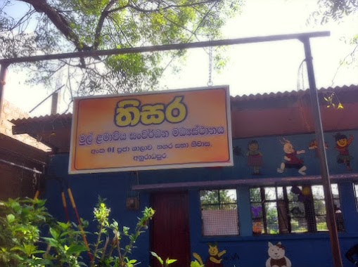
Thisara Preschool
Anuradhapura
School
read more
15.547 km
Asoka Boys Home
Jayanthi Mawatha, Anuradhapura
School
read more
16.417 km
Muslim School Medawachchiya
Kandy - Jaffna Highway, Medawachchiya
School
read more
17.181 km
A/Wimalagnana Vidyalaya
Thanthirimale
School
read more
17.391 km
Udara Pre School, Isinbassagala
Distrito de Anuradhapura
School
read more
17.74 km
Ranorawa Vidyalaya
Ranorawa, Nochchiyagama
School
read more
17.916 km
Kammalakkulama school කම්මලක්කුලම විදුහල
Anuradhapura
School
read more
19.362 km
Ihala Thammennawa Primary School
Medawachchiya-Kebitigollewa Road
School
read more
📑
all categories
Accounting
Administrative area level 1
Administrative area level 2
Airport
Amusement park
Aquarium
Art gallery
Atm
Bakery
Bank
Bar
Beauty salon
Bicycle store
Book store
Bowling alley
Bus station
Cafe
Campground
Car dealer
Car rental
Car repair
Car wash
Casino
Cemetery
Church
City hall
Clothing store
Colloquial area
Convenience store
Country
Courthouse
Dentist
Department store
Doctor
Electrician
Electronics store
Embassy
Finance
Fire station
Florist
Food
Funeral home
Furniture store
Gas station
General contractor
Grocery or supermarket
Gym
Hair care
Hardware store
Health
Hindu Temple
Home goods store
Hospital
Insurance agency
Intersection
Jewelry store
Laundry
Lawyer
Library
Light rail station
Liquor store
Local government office
Locality
Locksmith
Lodging
Meal delivery
Meal takeaway
Mosque
Movie rental
Movie theater
Moving company
Museum
Natural feature
Neighborhood
Night club
Painter
Park
Parking
Pet store
Pharmacy
Physiotherapist
Place of worship
Plumber
Point of interest
Police
Political
Post office
Premise
Real estate agency
Restaurant
Roofing contractor
Route
Rv park, camping
School
Shoe store
Shopping mall
Spa
Stadium
Storage
Store
Subpremise
Supermarket
Synagogue
Taxi stand
Train station
Transit station
Travel agency
University
Veterinary care
Zoo
administrative area level 3
sublocality level 1
sublocality level 2
↑