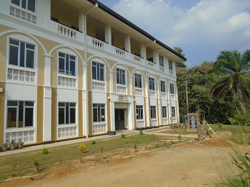
School nearby Bauddha Vidyala Mawatha
Sri Lanka
School nearby Bauddha Vidyala Mawatha
Bauddha Vidyala Mawatha
Kegalle, Sri Lanka
contacts phone
:
+94
Latitude:
7.2532353
, Longitude:
80.3503434
larger map & directions
read more
nearest School
81 m
Michika Japanese School
39 Vidyalaya Road, Kegalle
School
read more
204 m
sons school
Hathagoda, Kegalle
School
read more
207 m
Kegalu Vidyalaya - Kegalle
Vidyalaya Road, Kegalle
School
read more
320 m
Walagamba Vidyalaya වළගම්බා විද්යාලය
Kegalle
School
read more
331 m
Swarna Jayanthi Maha Vidyalaya ස්වර්ණ ජයන්ති මහා විද්යාලය
Swarna Jayanthi Road, Kegalle
School
read more
357 m
Walagamba Kanishta Vidyalaya
Kegalla
School
read more
357 m
Walagamba Kanishta Vidyalaya
Kegalle
School
read more
391 m
Kegalu Balika Vidyalaya Kegalle
Bandaranayaka Avenue, Kegalle, Bandaranayaka Avenue, Kegalla
School
read more
462 m
Pragathi Education Center
Bandaranayaka Avenue, Kegalle
School
read more
462 m
Kiddies Joy
Bandaranayaka Avenue, Kegalle
School
read more
486 m
walagamba college
Kegalle
School
read more
486 m
girl's college
Kegalle
School
read more
497 m
Best Life Training Center
Mirihella Road, Kegalle
School
read more
543 m
Dimuthu Pre School
Love Road, Kegalle
School
read more
642 m
Nuwana Education Centre
Kegalle
School
read more
643 m
Vertex International College
Bandaranayaka Avenue, Kegalle
School
read more
732 m
Kegalle Muslim School
Kegalle
School
read more
770 m
Olagankanda Junior School
Swarna Jayanthi Road, Kegalle
School
read more
805 m
9 NCC Camp
Nilmalgoda Kegalle
School
read more
837 m
Swarnajyanthi Vidyalaya Primary
Kegalle
School
read more
902 m
Wawaladeniya Sri Soratha VTA
Kegalle
School
read more
1.293 km
St.Mary's College Main Hall
Kegalle
School
read more
1.367 km
Premier Education International (Pvt) Ltd.
Kegalle
School
read more
1.633 km
St'Joshep Primary Collage
Kegalle
School
read more
1.901 km
Dharmapala Kanishta Vidyalaya
A21
School
read more
📑
all categories
Accounting
Administrative area level 1
Administrative area level 2
Airport
Amusement park
Aquarium
Art gallery
Atm
Bakery
Bank
Bar
Beauty salon
Bicycle store
Book store
Bowling alley
Bus station
Cafe
Campground
Car dealer
Car rental
Car repair
Car wash
Casino
Cemetery
Church
City hall
Clothing store
Colloquial area
Convenience store
Country
Courthouse
Dentist
Department store
Doctor
Electrician
Electronics store
Embassy
Finance
Fire station
Florist
Food
Funeral home
Furniture store
Gas station
General contractor
Grocery or supermarket
Gym
Hair care
Hardware store
Health
Hindu Temple
Home goods store
Hospital
Insurance agency
Intersection
Jewelry store
Laundry
Lawyer
Library
Light rail station
Liquor store
Local government office
Locality
Locksmith
Lodging
Meal delivery
Meal takeaway
Mosque
Movie rental
Movie theater
Moving company
Museum
Natural feature
Neighborhood
Night club
Painter
Park
Parking
Pet store
Pharmacy
Physiotherapist
Place of worship
Plumber
Point of interest
Police
Political
Post office
Premise
Real estate agency
Restaurant
Roofing contractor
Route
Rv park, camping
School
Shoe store
Shopping mall
Spa
Stadium
Storage
Store
Subpremise
Supermarket
Synagogue
Taxi stand
Train station
Transit station
Travel agency
University
Veterinary care
Zoo
administrative area level 3
sublocality level 1
sublocality level 2
↑