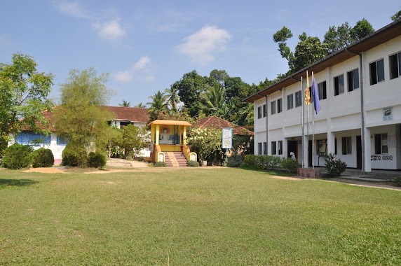
School nearby Central College - Dangedara
Sri Lanka
School nearby Central College - Dangedara
Central College - Dangedara
Galle 80000, Sri Lanka
contacts phone
:
+94
Latitude:
6.0499189
, Longitude:
80.2195595
larger map & directions
read more
nearest School
53 m
Jayawardhana College
Steel Road, Galle
School
read more
184 m
Sri Dhammavansa Pre School
Galle
School
read more
348 m
nooraniya ahadiya school
Galle
School
read more
430 m
Welivitiya chandananda Wiwekaramaya
Galle
School
read more
458 m
Matara building
Galle
School
read more
496 m
Telford International School
Donald Janz Road, Galle
School
read more
496 m
Mahinda College Swiming Pool
Galle
School
read more
496 m
The International School
Donald Janz Road, Galle
School
read more
504 m
OBA Century Building
Galle
School
read more
521 m
Mahinda College Primary Gate
Galle
School
read more
565 m
Jiffriya Arabic College
No 87/1 Jiffriya Street Dangedara, Galle
School
read more
614 m
British College
Galle
School
read more
622 m
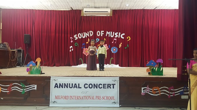
Milford International Pre-School
Donald Janz Road, Galle
School
read more
653 m
STC
Galle - Baddegama Road, Galle
School
read more
708 m
Al-Islah International School
H.K. Edmond Mawatha, Galle
School
read more
709 m
Mallharussulhiya National School
H.K. Edmond Mawatha, Galle
School
read more
718 m
Malharus Sulhiya National Collage
Galle
School
read more
780 m
Little Feet Montessori
#422/A,Hirimbura road,Beligaha Junction, Galle
School
read more
818 m
Leeds School
Galle
School
read more
831 m
King' Way Pre School
31 Eliot Road, Galle
School
read more
869 m
Sarvodaya Suwasetha Girls' Home
Galle
School
read more
877 m
Alpha~English Language & Science Education Institute
Eliot Road, Galle
School
read more
954 m
Play School Montessori
335 Wakwella Road, Galle
School
read more
954 m
Play School Montessori
Sri Lanka
School
read more
1.053 km
Harward academy
Galle
School
read more
📑
all categories
Accounting
Administrative area level 1
Administrative area level 2
Airport
Amusement park
Aquarium
Art gallery
Atm
Bakery
Bank
Bar
Beauty salon
Bicycle store
Book store
Bowling alley
Bus station
Cafe
Campground
Car dealer
Car rental
Car repair
Car wash
Casino
Cemetery
Church
City hall
Clothing store
Colloquial area
Convenience store
Country
Courthouse
Dentist
Department store
Doctor
Electrician
Electronics store
Embassy
Finance
Fire station
Florist
Food
Funeral home
Furniture store
Gas station
General contractor
Grocery or supermarket
Gym
Hair care
Hardware store
Health
Hindu Temple
Home goods store
Hospital
Insurance agency
Intersection
Jewelry store
Laundry
Lawyer
Library
Light rail station
Liquor store
Local government office
Locality
Locksmith
Lodging
Meal delivery
Meal takeaway
Mosque
Movie rental
Movie theater
Moving company
Museum
Natural feature
Neighborhood
Night club
Painter
Park
Parking
Pet store
Pharmacy
Physiotherapist
Place of worship
Plumber
Point of interest
Police
Political
Post office
Premise
Real estate agency
Restaurant
Roofing contractor
Route
Rv park, camping
School
Shoe store
Shopping mall
Spa
Stadium
Storage
Store
Subpremise
Supermarket
Synagogue
Taxi stand
Train station
Transit station
Travel agency
University
Veterinary care
Zoo
administrative area level 3
sublocality level 1
sublocality level 2
↑