School nearby Deepankara Vidyalaya
Sri Lanka
School nearby Deepankara Vidyalaya
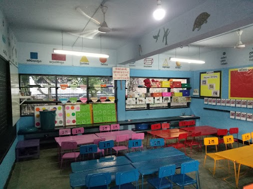
Deepankara Vidyalaya
A2, Tangalle, Hambantota, LK Sri Lanka
contacts phone
:
+94
Latitude:
6.0379577
, Longitude:
80.798108
larger map & directions
read more
nearest School
70 m
Deepankar Model Primary School
Tangalle
School
read more
804 m
Randika Driving School
Tangalle
School
read more
920 m
MARGA - Tangalle
Polonmaruwa-Beliatta Road, Tangalle
School
read more
930 m
Sathra Education Center
138 Hakmana - Beliatte - Tangalle Road, Tangalle
School
read more
949 m
Sathra Plus Home of Tecnologhy Education & apart of Sathra
138 Hakmana - Beliatte - Tangalle Road, Tangalle
School
read more
967 m
Rahula Maha Vidyalaya Tangalle
A2, Tangalle
School
read more
1.299 km
Carlton Pre School
Tangalle
School
read more
1.471 km
Little Rose PreSchool
Tangalle
School
read more
1.509 km
Tangalle Primary School (තංගල්ල ප්රාථමික විදුහල)
Matara Road, Tangalle
School
read more
1.547 km
DMCI Montisori
Tangalle
School
read more
1.651 km
School For The Deaf And Blind
Tangalle
School
read more
1.685 km
National Boys School Tangalla
A2, Tangalle
School
read more
1.708 km
Tangalle Boys College
Tangalle
School
read more
1.709 km
Tangalla Maha Vidyalaya
Tangalle
School
read more
1.711 km
Tangalle National Boys' School
Tangalle
School
read more
1.743 km
Polommaruwa Model School
Tangalle
School
read more
1.788 km
Tangalle Adarsha Primary School
Tangalle
School
read more
1.835 km
Tangalle Girls School
Tangalle
School
read more
1.854 km
Tangalle Balika Vidyalaya
Sea Avenues, Tangalle
School
read more
1.862 km
National Apprentice And Industrial Training Authority
Tangalle
School
read more
1.876 km
National Apprentice Industrial Training Centre
Tangalle
School
read more
1.881 km
Tangalle Girls School (තංගල්ල බාලිකා විද්යාලය)
A2, Tangalle
School
read more
1.966 km
H/Marakolliya Kanishta Vidyalaya
Hambantota
School
read more
1.999 km
Muslim Maha Vidyalaya
A2, Tangalle
School
read more
2.55 km
Wagegoda Primary School
Hambantota
School
read more
📑
all categories
Accounting
Administrative area level 1
Administrative area level 2
Airport
Amusement park
Aquarium
Art gallery
Atm
Bakery
Bank
Bar
Beauty salon
Bicycle store
Book store
Bowling alley
Bus station
Cafe
Campground
Car dealer
Car rental
Car repair
Car wash
Casino
Cemetery
Church
City hall
Clothing store
Colloquial area
Convenience store
Country
Courthouse
Dentist
Department store
Doctor
Electrician
Electronics store
Embassy
Finance
Fire station
Florist
Food
Funeral home
Furniture store
Gas station
General contractor
Grocery or supermarket
Gym
Hair care
Hardware store
Health
Hindu Temple
Home goods store
Hospital
Insurance agency
Intersection
Jewelry store
Laundry
Lawyer
Library
Light rail station
Liquor store
Local government office
Locality
Locksmith
Lodging
Meal delivery
Meal takeaway
Mosque
Movie rental
Movie theater
Moving company
Museum
Natural feature
Neighborhood
Night club
Painter
Park
Parking
Pet store
Pharmacy
Physiotherapist
Place of worship
Plumber
Point of interest
Police
Political
Post office
Premise
Real estate agency
Restaurant
Roofing contractor
Route
Rv park, camping
School
Shoe store
Shopping mall
Spa
Stadium
Storage
Store
Subpremise
Supermarket
Synagogue
Taxi stand
Train station
Transit station
Travel agency
University
Veterinary care
Zoo
administrative area level 3
sublocality level 1
sublocality level 2
↑