School nearby Diwulwawa Vidyalaya ( දිවුල්වැව විදුහල )
Sri Lanka
School nearby Diwulwawa Vidyalaya ( දිවුල්වැව විදුහල )
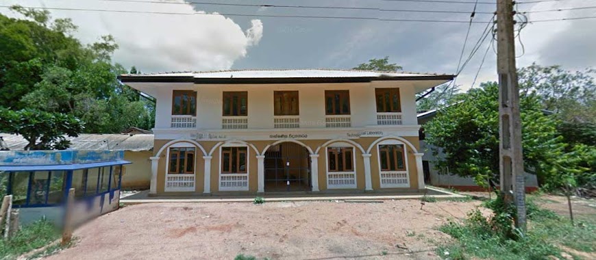
Diwulwawa Vidyalaya ( දිවුල්වැව විදුහල )
Anuradhapura, Sri Lanka
contacts phone
:
+94
Latitude:
8.2498706
, Longitude:
80.3972153
larger map & directions
read more
nearest School
2.089 km
A/Al Madeena Vidyalaya
Kuda Nelubewa, Hidogama
School
read more
2.917 km
Mahanelubewa Vidyalaya
Anuradhapura
School
read more
2.917 km
Mahanelubewa Vidyalaya
Distrito de Anuradhapura
School
read more
2.956 km
Sena Maha Vidyalaya
Kaluwila
School
read more
3.001 km
Kaluwilasena Maha Vidyalaya (කළුවිල සේන මහා විද්යාලය)
Kaluwila
School
read more
3.475 km
School playground
Kuda Nelubewa, Anuradhapura
School
read more
3.568 km
Kudanelubewa Gamunu Maha Vidyalaya
Anuradhapura
School
read more
3.623 km
A/AL MADINA VIDYALAYA
Kuda Nelubewa, Anuradhapura
School
read more
3.63 km
Al Madina School
Kuda Nelubewa, Anuradhapura
School
read more
3.71 km
Thalawa Thirappane Viduhala
Anuradhapura
School
read more
5.339 km
Thalawa Model Primary School
A28, Anuradhapura
School
read more
5.753 km
Meegasegana Galnewa Anandodaya Viduhala
Anuradhapura
School
read more
5.951 km
Sucharithagama Vidyalaya
Sri Lanka
School
read more
7.017 km
D. S. Senanayake Maha Vidyalaya
Distrito de Anuradhapura
School
read more
7.257 km
K. B. Rathnayake Maha Vidyalaya
Anuradhapura
School
read more
8.295 km
Anuradhapura Regional Centre, OUSL
Anuradhapura
School
read more
8.604 km
Youth Council
Anuradhapura
School
read more
8.886 km
Pothanegama Maha Vidyalaya
Pasal Mawatha, Sri Jayawardenepura Kotte
School
read more
8.926 km
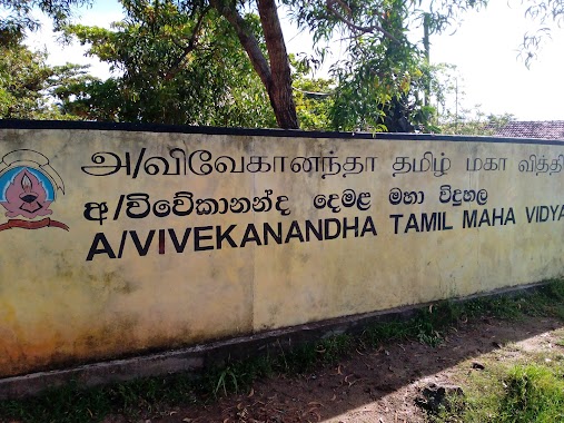
Vivekananda tamil school
Anuradhapura
School
read more
9.648 km
Anuradhapura Central College
Harischandra Mawatha, Anuradhapura
School
read more
10.149 km
Sigithi Uyana Nursery
Maithripala Senanayake Mawatha, Anuradhapura
School
read more
10.557 km
A/Wannammaduwa Maha Vidyalaya
Anuradhapura
School
read more
13.168 km
Pothiyagama Maithree Vidyalaya
Sri Lanka
School
read more
13.28 km
Hathareswela Vidyalaya
Anuradhapura
School
read more
17.27 km
Faculty of Management Studies
Mihintale
School
read more
📑
all categories
Accounting
Administrative area level 1
Administrative area level 2
Airport
Amusement park
Aquarium
Art gallery
Atm
Bakery
Bank
Bar
Beauty salon
Bicycle store
Book store
Bowling alley
Bus station
Cafe
Campground
Car dealer
Car rental
Car repair
Car wash
Casino
Cemetery
Church
City hall
Clothing store
Colloquial area
Convenience store
Country
Courthouse
Dentist
Department store
Doctor
Electrician
Electronics store
Embassy
Finance
Fire station
Florist
Food
Funeral home
Furniture store
Gas station
General contractor
Grocery or supermarket
Gym
Hair care
Hardware store
Health
Hindu Temple
Home goods store
Hospital
Insurance agency
Intersection
Jewelry store
Laundry
Lawyer
Library
Light rail station
Liquor store
Local government office
Locality
Locksmith
Lodging
Meal delivery
Meal takeaway
Mosque
Movie rental
Movie theater
Moving company
Museum
Natural feature
Neighborhood
Night club
Painter
Park
Parking
Pet store
Pharmacy
Physiotherapist
Place of worship
Plumber
Point of interest
Police
Political
Post office
Premise
Real estate agency
Restaurant
Roofing contractor
Route
Rv park, camping
School
Shoe store
Shopping mall
Spa
Stadium
Storage
Store
Subpremise
Supermarket
Synagogue
Taxi stand
Train station
Transit station
Travel agency
University
Veterinary care
Zoo
administrative area level 3
sublocality level 1
sublocality level 2
↑