School nearby Nelumkanniaya Vidyalaya
Sri Lanka
School nearby Nelumkanniaya Vidyalaya
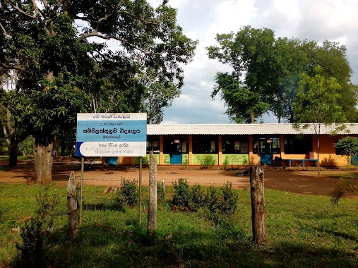
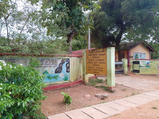
Nelumkanniaya Vidyalaya
Anuradhapura, Sri Lanka
contacts phone
:
+94
Latitude:
8.3148069
, Longitude:
80.4817938
larger map & directions
read more
nearest School
1.84 km
A/Wannammaduwa Maha Vidyalaya
Anuradhapura
School
read more
1.849 km
Mahawanmaduwa Vidyalaya
Anuradhapura
School
read more
2.151 km
Thariyankulama sudarshana vidyalaya
Anuradhapura
School
read more
2.265 km
Kalaththawa Maha Vidyalaya
Anuradhapura
School
read more
2.293 km
Kalattewa Maha Vidyalaya
Matale Road, Anuradhapura
School
read more
2.835 km
Nelumkanniya Vidyalaya
Distrito de Anuradhapura
School
read more
2.835 km
Nelumkanniya Vidyalaya
Anuradhapura
School
read more
3.076 km
Keerikkulama Vidyalaya
Anuradhapura
School
read more
4.002 km
Kammalakkulama school කම්මලක්කුලම විදුහල
Anuradhapura
School
read more
4.451 km
Thamennapura Vidyaalaya.
Anuradhapura
School
read more
4.735 km
Kurundankulama Vidyalaya
Anuradhapura
School
read more
4.76 km
A/Dhammadinna Maha Vidyalaya,Galkulama
Galkulama
School
read more
5.09 km
Little Campus English Medium Pre School
Mihintale
School
read more
5.467 km
Mihintale Maha Vidyalaya
Mihintale
School
read more
5.521 km
Kalaththewa Maha Vidyalaya
Kurundankulama
School
read more
5.627 km
Mihintale Public Pre-school
Mihintale
School
read more
5.78 km
රතනජොති දහම් පාසල
A9, Mihintale
School
read more
5.832 km
Sucharithagama Vidyalaya
Sri Lanka
School
read more
5.915 km
Mihinthale Muslim Viduhala
A12, Mihintale
School
read more
5.953 km
SNB Book Soap
Matale Road, Anuradhapura
School
read more
5.956 km
Pathiraja Tennakoon Primary School
Mihintale
School
read more
5.986 km
Mihinthale Primary School
Mihintale
School
read more
5.989 km
Pathiraja Thennakoon Kanishta Vidyalaya
A12, Mihintale
School
read more
5.999 km
Loving care pre school
Kurundankulama
School
read more
8.871 km
D. S. Senanayake Maha Vidyalaya
Distrito de Anuradhapura
School
read more
📑
all categories
Accounting
Administrative area level 1
Administrative area level 2
Airport
Amusement park
Aquarium
Art gallery
Atm
Bakery
Bank
Bar
Beauty salon
Bicycle store
Book store
Bowling alley
Bus station
Cafe
Campground
Car dealer
Car rental
Car repair
Car wash
Casino
Cemetery
Church
City hall
Clothing store
Colloquial area
Convenience store
Country
Courthouse
Dentist
Department store
Doctor
Electrician
Electronics store
Embassy
Finance
Fire station
Florist
Food
Funeral home
Furniture store
Gas station
General contractor
Grocery or supermarket
Gym
Hair care
Hardware store
Health
Hindu Temple
Home goods store
Hospital
Insurance agency
Intersection
Jewelry store
Laundry
Lawyer
Library
Light rail station
Liquor store
Local government office
Locality
Locksmith
Lodging
Meal delivery
Meal takeaway
Mosque
Movie rental
Movie theater
Moving company
Museum
Natural feature
Neighborhood
Night club
Painter
Park
Parking
Pet store
Pharmacy
Physiotherapist
Place of worship
Plumber
Point of interest
Police
Political
Post office
Premise
Real estate agency
Restaurant
Roofing contractor
Route
Rv park, camping
School
Shoe store
Shopping mall
Spa
Stadium
Storage
Store
Subpremise
Supermarket
Synagogue
Taxi stand
Train station
Transit station
Travel agency
University
Veterinary care
Zoo
administrative area level 3
sublocality level 1
sublocality level 2
↑