School nearby Royal College Panadura
Sri Lanka
School nearby Royal College Panadura
Royal College Panadura
Panadura, Sri Lanka
contacts phone
:
+94 382 233 009
website:
www.facebook.com
Latitude:
6.7050041
, Longitude:
79.9103612
larger map & directions
read more
nearest School
250 m
Singala class
Panadura
School
read more
275 m
Sri Sumangala Balika Maha Vidyalaya
A2, Panadura
School
read more
506 m
Good Shephred Convent
Panadura
School
read more
592 m
Good Shepherd Convent Panadura
Galle Rd, Panadura
School
read more
594 m
Piyawara Preschool
Panadura
School
read more
670 m
Good Shepherd Convent Montessori, Panadura
Galle Rd, Panadura
School
read more
692 m
St. Antony's Balika Maha Vidyalaya
Panadura
School
read more
699 m
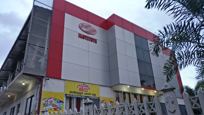
nena isura institute
28/1, Grace Peiris Road, පානදුර
School
read more
713 m
Sri Sumangala College
Sri Sumangala College, Panadura
School
read more
713 m
IGP Education Centre
462/2 Galle Road, Panadura
School
read more
736 m
SECTOR institute of higher education
Grase Peiris Rd, Panadura, Sri Lanka, Panadura
School
read more
740 m
Royal Primary College
Nalluruwa North, Panadura
School
read more
741 m
Mahamathya Vidyalaya Panadura
Panadura
School
read more
816 m
Upadya Vidyalaya
Panadura
School
read more
817 m
Upadyaya Vidyalaya Panadura
Old Colombo - Galle Road, Panadura
School
read more
845 m
Didula Institute
Panadura
School
read more
906 m
Panadura Music School
6°42'48.9"N 79°54'36.1"E
School
read more
907 m
kindercare pre -school & Daycare
Fonseka Road, Panadura
School
read more
926 m
Fonseka Pre School
40/1 Thilaka Road, Panadura
School
read more
943 m
Institute Of Immaculate May
33 solomon mawatha wekada, Panadura
School
read more
946 m
Sripali Dharma Vidyalaya
Sea Beach Road, Panadura
School
read more
1.028 km
Leeds International School
Station Road, Panadura
School
read more
1.098 km
THE OAK TREE
71/9, Dibbedda Road, Panadura
School
read more
1.103 km
Rahal Montessori
Wekada West, Panadura
School
read more
1.143 km
Baudhdhaloka Maha Vidyalaya
Panadura
School
read more
📑
all categories
Accounting
Administrative area level 1
Administrative area level 2
Airport
Amusement park
Aquarium
Art gallery
Atm
Bakery
Bank
Bar
Beauty salon
Bicycle store
Book store
Bowling alley
Bus station
Cafe
Campground
Car dealer
Car rental
Car repair
Car wash
Casino
Cemetery
Church
City hall
Clothing store
Colloquial area
Convenience store
Country
Courthouse
Dentist
Department store
Doctor
Electrician
Electronics store
Embassy
Finance
Fire station
Florist
Food
Funeral home
Furniture store
Gas station
General contractor
Grocery or supermarket
Gym
Hair care
Hardware store
Health
Hindu Temple
Home goods store
Hospital
Insurance agency
Intersection
Jewelry store
Laundry
Lawyer
Library
Light rail station
Liquor store
Local government office
Locality
Locksmith
Lodging
Meal delivery
Meal takeaway
Mosque
Movie rental
Movie theater
Moving company
Museum
Natural feature
Neighborhood
Night club
Painter
Park
Parking
Pet store
Pharmacy
Physiotherapist
Place of worship
Plumber
Point of interest
Police
Political
Post office
Premise
Real estate agency
Restaurant
Roofing contractor
Route
Rv park, camping
School
Shoe store
Shopping mall
Spa
Stadium
Storage
Store
Subpremise
Supermarket
Synagogue
Taxi stand
Train station
Transit station
Travel agency
University
Veterinary care
Zoo
administrative area level 3
sublocality level 1
sublocality level 2
↑