School nearby Science College
Sri Lanka
School nearby Science College
Science College
Wattala, Sri Lanka
contacts phone
:
+94
Latitude:
7.0034079
, Longitude:
79.9107367
larger map & directions
read more
nearest School
748 m
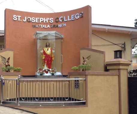
St. Joseph’s College, Wattala
Paranakanda Road, Wattala
School
read more
966 m
St.Sebastian School
Wattala
School
read more
983 m
St.Sebastian Collage
Sebestian Mawatha, Wattala
School
read more
1.005 km
Shining Lights Montessori
300 B460, Wattala
School
read more
1.034 km
St.Sebestian's Maha Vidyalaya
Vijaya Kumarathunga Mawatha, Wattala-Mabola
School
read more
1.218 km
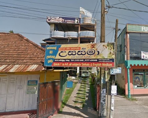
Usasma Higher Education Center.
141/A, Enderamulla, Wattala
School
read more
1.233 km
Ahadhiyyathul Firdousiya Dhaham School
Wattala
School
read more
1.24 km
Little Wings International Montessori
37, Sri Siddhartha Mawatha, Dhankanattha Road,Mabola, Wattala
School
read more
1.285 km
Aroma Preschool
School
read more
1.318 km
Sri Siddartha Maha Viddyalaya
Wattala
School
read more
1.322 km
SLTJ Mabola
Giffry Bawa Garden Road, Wattala
School
read more
1.373 km
Zion
B460, Wattala
School
read more
1.396 km
UNH International School
Wattala
School
read more
1.458 km
Darul rahma nursary school & welfare assosiassion
Keragapokuna, Wattala
School
read more
1.5 km
St. Mary's School
A3, Wattala
School
read more
1.558 km
Al Asraff Maha Vidyalaya
Negombo-Colombo Main Road, Wattala
School
read more
1.809 km
Nahena Tempal
Nahena
School
read more
1.869 km
Karunarathna Buddhist College
Ja-Ela
School
read more
1.931 km
Super Kids Montessori
Vihara Mawatha, Wattala
School
read more
1.952 km
Sinithimuthu Nursery
Negombo-Colombo Main Road, Magammana
School
read more
1.967 km
Bandaranayaka Primary School
Padiliyathuduwa Road, Wattala
School
read more
1.971 km
Hunupitiya Kanishta Vidyalaya
Hunupitiya, Wattala
School
read more
2.235 km
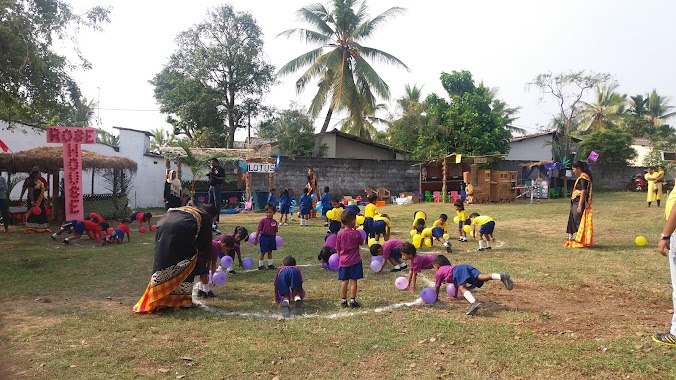
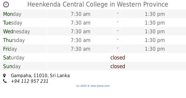
Heenkenda Central College
School
read more
2.261 km
Mihidu Daham Pasala
Gampaha
School
read more
2.535 km
Lanka Englísh Academy
Gunasekera Mawatha, Kandana
School
read more
📑
all categories
Accounting
Administrative area level 1
Administrative area level 2
Airport
Amusement park
Aquarium
Art gallery
Atm
Bakery
Bank
Bar
Beauty salon
Bicycle store
Book store
Bowling alley
Bus station
Cafe
Campground
Car dealer
Car rental
Car repair
Car wash
Casino
Cemetery
Church
City hall
Clothing store
Colloquial area
Convenience store
Country
Courthouse
Dentist
Department store
Doctor
Electrician
Electronics store
Embassy
Finance
Fire station
Florist
Food
Funeral home
Furniture store
Gas station
General contractor
Grocery or supermarket
Gym
Hair care
Hardware store
Health
Hindu Temple
Home goods store
Hospital
Insurance agency
Intersection
Jewelry store
Laundry
Lawyer
Library
Light rail station
Liquor store
Local government office
Locality
Locksmith
Lodging
Meal delivery
Meal takeaway
Mosque
Movie rental
Movie theater
Moving company
Museum
Natural feature
Neighborhood
Night club
Painter
Park
Parking
Pet store
Pharmacy
Physiotherapist
Place of worship
Plumber
Point of interest
Police
Political
Post office
Premise
Real estate agency
Restaurant
Roofing contractor
Route
Rv park, camping
School
Shoe store
Shopping mall
Spa
Stadium
Storage
Store
Subpremise
Supermarket
Synagogue
Taxi stand
Train station
Transit station
Travel agency
University
Veterinary care
Zoo
administrative area level 3
sublocality level 1
sublocality level 2
↑