School nearby Senarath Paravithana Maha Vidyalaya, Udugampola
Sri Lanka
School nearby Senarath Paravithana Maha Vidyalaya, Udugampola
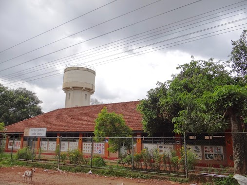
Senarath Paravithana Maha Vidyalaya, Udugampola
Udugampola, Sri Lanka
contacts phone
:
+94
Latitude:
7.1239737
, Longitude:
79.9755334
larger map & directions
read more
nearest School
4 m
Udugampola Maha Vidyalaya
Udugampola
School
read more
31 m
Minu / Senarath Paranavithana National School, Udugampola.
Kirindiwita - Assennawatte Road, Udugampola
School
read more
58 m
Senarath Paravithana Maha Vidyalaya play ground
Udugampola
School
read more
58 m
Senarath Paranavithana National School
Udugampola
School
read more
112 m
primary School
Udugampola
School
read more
171 m
Udugampola Primary School
Udugampola
School
read more
179 m
Jayaran Pre School
Udugampola
School
read more
652 m
Kids Word Primary
B288, Udugampola
School
read more
1.65 km
Asgiriwalpola Primary School
Sri Lanka
School
read more
1.666 km
Sewana Preschool, Madelgamuwa
Pushparama Road
School
read more
1.733 km
blooming kids nursery school
Weediyawatta
School
read more
2.047 km
Madelgamuwa Kanishta Vidyalaya
Madelgamuwa
School
read more
2.133 km
Sri Nagarama Primary School
1st Ln
School
read more
2.133 km
Sri Nagarama Primary School
1st Lane
School
read more
2.448 km
nisansala ECDC
Gampaha
School
read more
2.448 km
nisansala
Gampaha
School
read more
2.449 km
Sudharshana Maha Vidalaya
Asgiriya
School
read more
2.461 km
Nisansala preschool
Gampaha
School
read more
2.737 km
Thisara Preschool
Pethiyagoda
School
read more
2.794 km
Pre School
Gampaha
School
read more
2.796 km
Prescool
Makewita Road
School
read more
3.069 km
Pethiyagoda buddhist junior school
Udugampola - Divulapitiya Road, Pethiyagoda
School
read more
3.071 km
Buddhist Primary School, Pethiyagoda
Udugampola - Divulapitiya Road, Pethiyagoda
School
read more
3.902 km
Sugathapala Kanishta Vidyalaya - Weliya
Weliya Road
School
read more
3.908 km
Sri Sugathapala School
Sri Lanka
School
read more
📑
all categories
Accounting
Administrative area level 1
Administrative area level 2
Airport
Amusement park
Aquarium
Art gallery
Atm
Bakery
Bank
Bar
Beauty salon
Bicycle store
Book store
Bowling alley
Bus station
Cafe
Campground
Car dealer
Car rental
Car repair
Car wash
Casino
Cemetery
Church
City hall
Clothing store
Colloquial area
Convenience store
Country
Courthouse
Dentist
Department store
Doctor
Electrician
Electronics store
Embassy
Finance
Fire station
Florist
Food
Funeral home
Furniture store
Gas station
General contractor
Grocery or supermarket
Gym
Hair care
Hardware store
Health
Hindu Temple
Home goods store
Hospital
Insurance agency
Intersection
Jewelry store
Laundry
Lawyer
Library
Light rail station
Liquor store
Local government office
Locality
Locksmith
Lodging
Meal delivery
Meal takeaway
Mosque
Movie rental
Movie theater
Moving company
Museum
Natural feature
Neighborhood
Night club
Painter
Park
Parking
Pet store
Pharmacy
Physiotherapist
Place of worship
Plumber
Point of interest
Police
Political
Post office
Premise
Real estate agency
Restaurant
Roofing contractor
Route
Rv park, camping
School
Shoe store
Shopping mall
Spa
Stadium
Storage
Store
Subpremise
Supermarket
Synagogue
Taxi stand
Train station
Transit station
Travel agency
University
Veterinary care
Zoo
administrative area level 3
sublocality level 1
sublocality level 2
↑