School nearby Siiddhartha Maha Vidyalaya
Sri Lanka
School nearby Siiddhartha Maha Vidyalaya
Siiddhartha Maha Vidyalaya
Ampitiya, Sri Lanka
contacts phone
:
+94
Latitude:
7.2687332
, Longitude:
80.6643214
larger map & directions
read more
nearest School
23 m
Siddhartha Govt School
Ampitiya
School
read more
29 m
Siddharatha collage
Ampitiya
School
read more
46 m
Maha Siddartha Vidiyalaya
Ampitiya
School
read more
58 m
Siddhartha Maha Vidyalaya
Ampitiya
School
read more
123 m
K/Siddhartha Maha Vidyalaya
Ampitiya
School
read more
448 m
Little Butterflies Nursery Ampitiya
188/1, Ampitiya Road, Ampitiya
School
read more
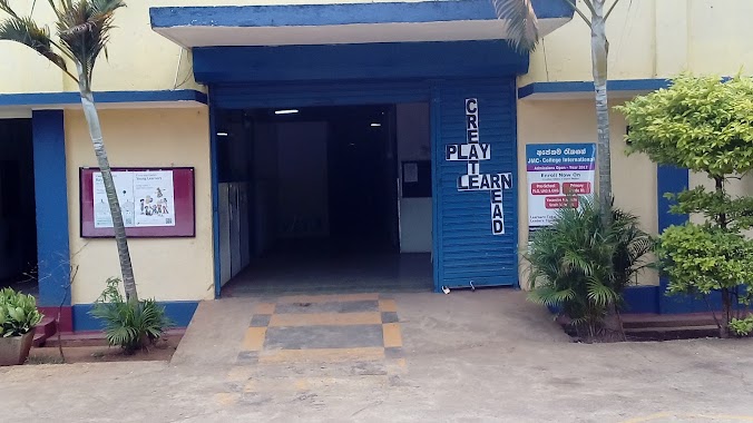
748 m
JMC International
Ampitiya
School
read more
768 m
JMC Ampitiya
30, Maddepathana, Ampitiya
School
read more
787 m
UTHPALA Pre school & Day Care Center
238, Ampitiya Road, Kandy
School
read more
1.253 km
St Benedict's College
Ampitiya
School
read more
1.436 km
Play Pen Montessori School (Pvt) Ltd
Ampitiya
School
read more
1.488 km
St. Mary's College
Gangawatakorale
School
read more
1.529 km
Vidyaloka Maha Vidyalaya
Tennekumbura
School
read more
1.546 km
Vidyaloka School
Tennekumbura
School
read more
1.569 km
CEDRAT
Ilukmodara
School
read more
1.625 km
Berewetts Primary School
Ampitiya
School
read more
1.717 km
Berrewaerts College
Sri Lanka
School
read more
1.718 km
Jayanthi Pre School
Naththarampotha, Kundasale, Kandy
School
read more
1.8 km
Kagoshimo Japan Sri Lanka Friendship Preschool
New Digana Road Kundasale
School
read more
1.803 km
Gurudeniya Maha Vidyalaya
Gurudeniya
School
read more
1.834 km
Gururinko Montessori
Tennekumbura
School
read more
1.852 km
PlayWorld Pre School
82/1, Ihala Galmaduwa Road
School
read more
1.863 km
Gurudeniya Maha Viduhala
Gurudeniya
School
read more
2.033 km
Summerlight Nursary School
Mahiyangana Road, Tennekumbura
School
read more
2.696 km
Uduwela Bauddha Vidyalaya
Uduwela, Ampitiya - Ratemulla Road
School
read more
📑
all categories
Accounting
Administrative area level 1
Administrative area level 2
Airport
Amusement park
Aquarium
Art gallery
Atm
Bakery
Bank
Bar
Beauty salon
Bicycle store
Book store
Bowling alley
Bus station
Cafe
Campground
Car dealer
Car rental
Car repair
Car wash
Casino
Cemetery
Church
City hall
Clothing store
Colloquial area
Convenience store
Country
Courthouse
Dentist
Department store
Doctor
Electrician
Electronics store
Embassy
Finance
Fire station
Florist
Food
Funeral home
Furniture store
Gas station
General contractor
Grocery or supermarket
Gym
Hair care
Hardware store
Health
Hindu Temple
Home goods store
Hospital
Insurance agency
Intersection
Jewelry store
Laundry
Lawyer
Library
Light rail station
Liquor store
Local government office
Locality
Locksmith
Lodging
Meal delivery
Meal takeaway
Mosque
Movie rental
Movie theater
Moving company
Museum
Natural feature
Neighborhood
Night club
Painter
Park
Parking
Pet store
Pharmacy
Physiotherapist
Place of worship
Plumber
Point of interest
Police
Political
Post office
Premise
Real estate agency
Restaurant
Roofing contractor
Route
Rv park, camping
School
Shoe store
Shopping mall
Spa
Stadium
Storage
Store
Subpremise
Supermarket
Synagogue
Taxi stand
Train station
Transit station
Travel agency
University
Veterinary care
Zoo
administrative area level 3
sublocality level 1
sublocality level 2
↑