School nearby Sri DHammaloka Maha Widyalaya
Sri Lanka
School nearby Sri DHammaloka Maha Widyalaya
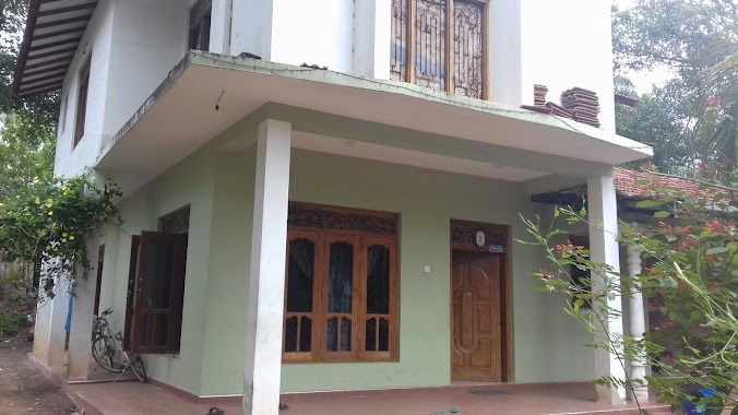
Sri DHammaloka Maha Widyalaya
Gampaha, Sri Lanka
contacts phone
:
+94
Latitude:
7.1527622
, Longitude:
79.9212311
larger map & directions
read more
nearest School
18 m
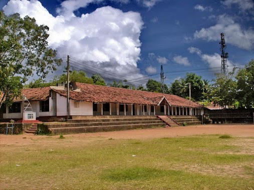
Dhammaloka maha vidyalaya , Heenatiyana
Gampaha
School
read more
316 m
Kalatham Rangayathanaya
Thilaka Mawatha, Heenatiyana, Minuwangoda
School
read more
1.418 km
Opatha school
Gampaha
School
read more
1.832 km
Language Solutions - Radoluwa
Opatha Road, Katunayake
School
read more
1.957 km
Polwaththa Sri Rathanasara M.M.V
Galloluwa - Polwaththa Road
School
read more
1.959 km
Al-Aman Muslim Maha Vidyala
Sri Lanka
School
read more
2.105 km
Yagodamulla Primary School
Temple Road, Yagodamulla
School
read more
2.392 km
Win Lion
Katunayake
School
read more
2.785 km
Yatiyana Roman Catholic School
Minuwangoda Road, Yatiyana
School
read more
2.897 km
President's College
Minuwangoda
School
read more
2.911 km
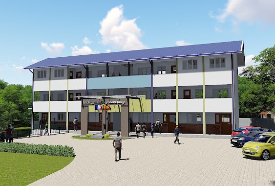
Reggie Ranathunga Science College
Gampaha
School
read more
2.949 km
Kotugoda Primary College
B111, Kotugoda
School
read more
2.966 km
Siproma Higher Education Institute
2B/5R Mutuwadiya Road, Seeduwa
School
read more
2.993 km
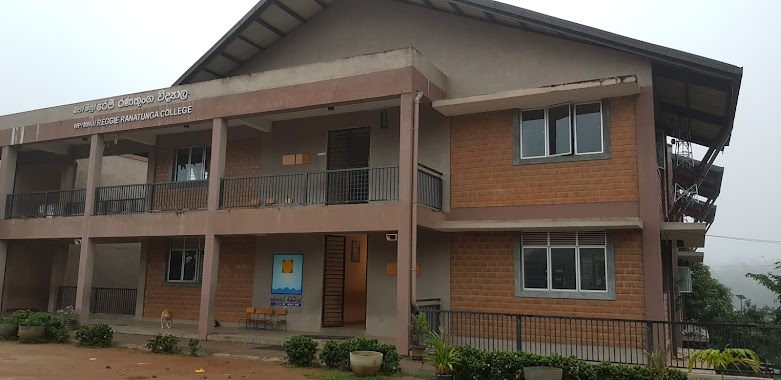
Reggie Ranatunga College
Colombo Rd, Minuwangoda
School
read more
2.996 km
Sri Rahula Maha Vidyalaya
Kotugoda
School
read more
3.012 km
RRC Primary School
Japalawaththa,Minuwangoda
School
read more
3.034 km
Jeewana Diya Church Raddoluwa
313/A Dapahena Watta RADDOLUWA SEEDUWA
School
read more
3.051 km
Brightway English College
Minuwangoda
School
read more
3.102 km
JAPAN Academy of Agriculture
B111, Minuwangoda
School
read more
3.118 km
Little Lambs Pre-School-Minuwangoda
Katunayake-Veyangoda Road
School
read more
3.169 km
happy bees pre school
486/b/8, Kotugoda Road, Katunayake
School
read more
3.198 km
National Yourth corps Center
Katunayake
School
read more
3.216 km
Wijenayake College
Minuwangoda
School
read more
3.263 km
Sri Pangnananda National College
Kotugoda
School
read more
3.395 km
Raddoluwa Pannyananda School
Seeduwa
School
read more
📑
all categories
Accounting
Administrative area level 1
Administrative area level 2
Airport
Amusement park
Aquarium
Art gallery
Atm
Bakery
Bank
Bar
Beauty salon
Bicycle store
Book store
Bowling alley
Bus station
Cafe
Campground
Car dealer
Car rental
Car repair
Car wash
Casino
Cemetery
Church
City hall
Clothing store
Colloquial area
Convenience store
Country
Courthouse
Dentist
Department store
Doctor
Electrician
Electronics store
Embassy
Finance
Fire station
Florist
Food
Funeral home
Furniture store
Gas station
General contractor
Grocery or supermarket
Gym
Hair care
Hardware store
Health
Hindu Temple
Home goods store
Hospital
Insurance agency
Intersection
Jewelry store
Laundry
Lawyer
Library
Light rail station
Liquor store
Local government office
Locality
Locksmith
Lodging
Meal delivery
Meal takeaway
Mosque
Movie rental
Movie theater
Moving company
Museum
Natural feature
Neighborhood
Night club
Painter
Park
Parking
Pet store
Pharmacy
Physiotherapist
Place of worship
Plumber
Point of interest
Police
Political
Post office
Premise
Real estate agency
Restaurant
Roofing contractor
Route
Rv park, camping
School
Shoe store
Shopping mall
Spa
Stadium
Storage
Store
Subpremise
Supermarket
Synagogue
Taxi stand
Train station
Transit station
Travel agency
University
Veterinary care
Zoo
administrative area level 3
sublocality level 1
sublocality level 2
↑