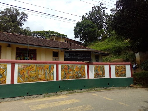
School nearby UDISPATTUWA CENTRL COLLEGE, KANDY
Sri Lanka
School nearby UDISPATTUWA CENTRL COLLEGE, KANDY
UDISPATTUWA CENTRL COLLEGE, KANDY
Iskole Muduna Sri Lanka
contacts phone
:
+94
Latitude:
7.3111334
, Longitude:
80.7960997
read more
nearest School
UDISPATTUWA CENTRL COLLEG, KANDY
Iskole Muduna
School
read more
10 m
Udispattuwa Central College
Sri Lanka
School
read more
46 m
udispaththuwa Secondary school
Iskole Muduna
School
read more
652 m
Sudarmodaya priwena
Retiyagama Road, kurkogogama, Udispattuwa
School
read more
652 m
කූරුකොහොගම රජමහ විහාරය
Medadumbara
School
read more
912 m
Udispattuwa Primary School
Gabbela
School
read more
1.219 km
Kurkohogama Rajamaha Viharaya
Retiyagama Road, Udispattuwa
School
read more
1.288 km
Udispattuwa Muslim School
Udispattuwa
School
read more
1.36 km
Rammula Primary School
Rangala Road
School
read more
1.557 km
Udispattuwa Muslim School
Sri Lanka
School
read more
2.52 km
Godamunna Kanishta Vidyala
Godamunna Road
School
read more
2.781 km
Wegala Junior School
Kandy-Mahiyangane-Padiyatalawa Highway, Wegala
School
read more
3.034 km
Dumbara Primary School, Theldeniya
Rambukwella
School
read more
3.069 km
Amupitiya National College
Sri Lanka
School
read more
3.141 km
Amupitiya Govt. School
Rangala Road
School
read more
3.338 km
Nalanda Budhist College
Wilamuna
School
read more
3.409 km
Medamahanuwara Central College
Medamahanuwara
School
read more
3.488 km
Medamahanuwara Central collage
Medamahanuwara
School
read more
3.515 km
Medamahanuwara primary collage
Medamahanuwara
School
read more
3.522 km
Urugala Tamil School
Medamahanuwara
School
read more
3.547 km
Oorugala Tamil Maha Vidyalaya
Medamahanuwara
School
read more
3.715 km
Teldeniya National School
Karalliyadda
School
read more
3.889 km
Rangala primary tamil vidyalayam
Medadumbara
School
read more
4.975 km
Rangala tamil secondary school
Medadumbara
School
read more
5.677 km
GIDDAWA WARADIWELA PRIMARY SCHOOL
Giddawa Waradiwela
School
read more
📑
all categories
Accounting
Administrative area level 1
Administrative area level 2
Airport
Amusement park
Aquarium
Art gallery
Atm
Bakery
Bank
Bar
Beauty salon
Bicycle store
Book store
Bowling alley
Bus station
Cafe
Campground
Car dealer
Car rental
Car repair
Car wash
Casino
Cemetery
Church
City hall
Clothing store
Colloquial area
Convenience store
Country
Courthouse
Dentist
Department store
Doctor
Electrician
Electronics store
Embassy
Finance
Fire station
Florist
Food
Funeral home
Furniture store
Gas station
General contractor
Grocery or supermarket
Gym
Hair care
Hardware store
Health
Hindu Temple
Home goods store
Hospital
Insurance agency
Intersection
Jewelry store
Laundry
Lawyer
Library
Light rail station
Liquor store
Local government office
Locality
Locksmith
Lodging
Meal delivery
Meal takeaway
Mosque
Movie rental
Movie theater
Moving company
Museum
Natural feature
Neighborhood
Night club
Painter
Park
Parking
Pet store
Pharmacy
Physiotherapist
Place of worship
Plumber
Point of interest
Police
Political
Post office
Premise
Real estate agency
Restaurant
Roofing contractor
Route
Rv park, camping
School
Shoe store
Shopping mall
Spa
Stadium
Storage
Store
Subpremise
Supermarket
Synagogue
Taxi stand
Train station
Transit station
Travel agency
University
Veterinary care
Zoo
administrative area level 3
sublocality level 1
sublocality level 2
↑