School nearby Yatapana Primary School
Sri Lanka
School nearby Yatapana Primary School
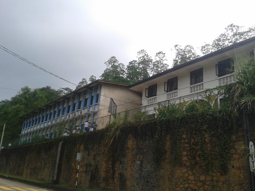
Yatapana Primary School
Sri Lanka
contacts phone
:
+94
Latitude:
7.1099276
, Longitude:
80.5201324
larger map & directions
read more
nearest School
740 m
Evelgolla Tamil School
Gangaihala Korale
School
read more
1.707 km
Senadhikari National School
Uduwalla Road
School
read more
1.717 km
udahenthenna school
Gangaihala Korale
School
read more
2.396 km
K/Senadhikari National School
Sri Lanka
School
read more
2.459 km
Uduwella Primary School
Udahenthanna
School
read more
2.759 km
Kurunduwaththa Royal College කුරුඳුවත්ත රාජකීය විද්යාලය
Gampola - Craighead Road
School
read more
4.285 km
Jama'ath E Islami Study Circle
209' Nawalapitiya Road Ulapane, Ulapane
School
read more
4.331 km
Galpaya, Alutgamage Maha Vidayala
Gampola - Dolosbage Road
School
read more
4.452 km
Iqra Muslim Maha Vidyalaya
Kandy Road, Ulapane
School
read more
4.468 km
Ulapane Muslim School
Kandy Road, Ulapane
School
read more
4.514 km
Paththunupitiya Maha Vidyalaya
Sri Lanka
School
read more
4.854 km
Rathnawali Primary School
Ulapane
School
read more
4.935 km
Thambiligala Primary School
Thambiligala
School
read more
4.959 km
Thambiligala Vidyalaya
Thambiligala
School
read more
4.972 km
Ulapane Maha Vidyalaya
Ulapane
School
read more
5.139 km
Rahala East Junior School
Kegalle
School
read more
5.699 km
CP/KOT Nanoda Primary School
Nawalapitiya - Harangala Road
School
read more
5.706 km
Rahala West Primary School
Horewala - Rahala Road
School
read more
5.811 km
Buwalikada primary school
Horewala - Hemmathagama Road
School
read more
5.814 km
G lead Guitarist
D 2/6,lower donside,nawalpitiya
School
read more
6.482 km
Thakshila Vidyalaya
Wallahagoda, Kandy Road
School
read more
6.509 km
Wallahagoda School
Sri Lanka
School
read more
6.607 km
AL-ARAFA M.V,Pahala Gorakoya
Kandy
School
read more
6.888 km
Wickremabahu National School
Gampola
School
read more
6.936 km
Urban Council Preschool
Kandy Road
School
read more
📑
all categories
Accounting
Administrative area level 1
Administrative area level 2
Airport
Amusement park
Aquarium
Art gallery
Atm
Bakery
Bank
Bar
Beauty salon
Bicycle store
Book store
Bowling alley
Bus station
Cafe
Campground
Car dealer
Car rental
Car repair
Car wash
Casino
Cemetery
Church
City hall
Clothing store
Colloquial area
Convenience store
Country
Courthouse
Dentist
Department store
Doctor
Electrician
Electronics store
Embassy
Finance
Fire station
Florist
Food
Funeral home
Furniture store
Gas station
General contractor
Grocery or supermarket
Gym
Hair care
Hardware store
Health
Hindu Temple
Home goods store
Hospital
Insurance agency
Intersection
Jewelry store
Laundry
Lawyer
Library
Light rail station
Liquor store
Local government office
Locality
Locksmith
Lodging
Meal delivery
Meal takeaway
Mosque
Movie rental
Movie theater
Moving company
Museum
Natural feature
Neighborhood
Night club
Painter
Park
Parking
Pet store
Pharmacy
Physiotherapist
Place of worship
Plumber
Point of interest
Police
Political
Post office
Premise
Real estate agency
Restaurant
Roofing contractor
Route
Rv park, camping
School
Shoe store
Shopping mall
Spa
Stadium
Storage
Store
Subpremise
Supermarket
Synagogue
Taxi stand
Train station
Transit station
Travel agency
University
Veterinary care
Zoo
administrative area level 3
sublocality level 1
sublocality level 2
↑