Store nearby Gelioya Vegitable Shop
Sri Lanka
Store nearby Gelioya Vegitable Shop
Gelioya Vegitable Shop
Gelioya, Sri Lanka
contacts phone
:
+94 812 314 418
Latitude:
7.2161576
, Longitude:
80.5981694
larger map & directions
read more
nearest Store
101 m
Kids Park
Gelioya
Store
read more
124 m
30 shop
Bus stand, Gelioya
Store
read more
175 m
Cell Max
Buwelikada-Gelioya Road, Gelioya
Store
read more
179 m
Hanko Bags - Gelioya
Daulagala Road, Gelioya
Store
read more
251 m
Haniffa Stores
Gelioya
Store
read more
280 m
Siyana Gelioya
7°13'07.2"N 80°35'52., 8th Lane, Kundasale
Store
read more
311 m
Hero Motorbicycle Showroom
Gelioya
Store
read more
330 m
Gelioya Bajaj House
Gelioya
Store
read more
334 m
SPEED TVS Gelioya
Gelioya
Store
read more
357 m
Royal Furniture
Gelioya
Store
read more
735 m
Thilini Printers
Kovilakanda
Store
read more
735 m
Thilina Printers
Kovilakanda
Store
read more
1.065 km
Danisco Detergent
Kovilakanda
Store
read more
1.478 km
Billys Vinyles
Gampola Road, Gelioya
Store
read more
1.478 km
Billys Vinyles
A5, Gelioya
Store
read more
1.568 km
Quikpak
265, Mosque road,, Dellange,Gelioya
Store
read more
2.524 km
HSN Cellular
Daulagala
Store
read more
2.887 km
Niroshan Store
Thotupola Road
Store
read more
2.965 km
Royal Communication
Sri Lanka
Store
read more
3.086 km
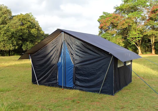
Camping Tent Industries (Camping Tent Manufactures in Sri Lanka)
64/2, Daskara, Muruthagahamula, Kandy
Store
read more
3.795 km
Ishara building materials store
178/B, Meewathura Road, Peradeniya
Store
read more
4.855 km
Dilshan's snack factory
Sri Lanka
Store
read more
5.039 km
VIP IT SOLUTION
191 Pahala Eriyagama
Store
read more
5.336 km
Tele Zone Communication & Phone Shop
231 Kandy Road, Kahatapitiya
Store
read more
6.761 km
Lakmali Brassware
428/2 govindala, Pilimathalawa
Store
read more
📑
all categories
Accounting
Administrative area level 1
Administrative area level 2
Airport
Amusement park
Aquarium
Art gallery
Atm
Bakery
Bank
Bar
Beauty salon
Bicycle store
Book store
Bowling alley
Bus station
Cafe
Campground
Car dealer
Car rental
Car repair
Car wash
Casino
Cemetery
Church
City hall
Clothing store
Colloquial area
Convenience store
Country
Courthouse
Dentist
Department store
Doctor
Electrician
Electronics store
Embassy
Finance
Fire station
Florist
Food
Funeral home
Furniture store
Gas station
General contractor
Grocery or supermarket
Gym
Hair care
Hardware store
Health
Hindu Temple
Home goods store
Hospital
Insurance agency
Intersection
Jewelry store
Laundry
Lawyer
Library
Light rail station
Liquor store
Local government office
Locality
Locksmith
Lodging
Meal delivery
Meal takeaway
Mosque
Movie rental
Movie theater
Moving company
Museum
Natural feature
Neighborhood
Night club
Painter
Park
Parking
Pet store
Pharmacy
Physiotherapist
Place of worship
Plumber
Point of interest
Police
Political
Post office
Premise
Real estate agency
Restaurant
Roofing contractor
Route
Rv park, camping
School
Shoe store
Shopping mall
Spa
Stadium
Storage
Store
Subpremise
Supermarket
Synagogue
Taxi stand
Train station
Transit station
Travel agency
University
Veterinary care
Zoo
administrative area level 3
sublocality level 1
sublocality level 2
↑