Store nearby Mali stores
Sri Lanka
Store nearby Mali stores
Mali stores
Unnamed Road, Ganemulla, Sri Lanka
contacts phone
:
+94
Latitude:
7.0705753
, Longitude:
79.9781775
larger map & directions
read more
nearest Store
188 m
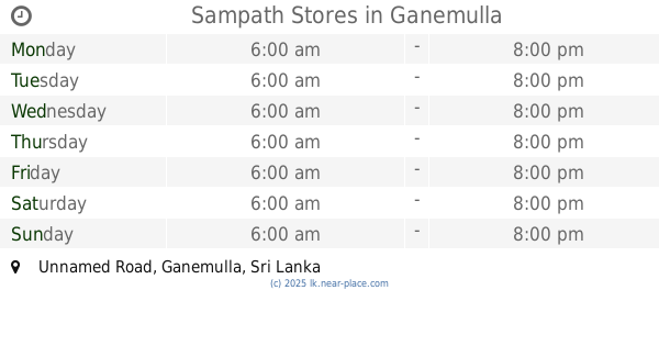
Sampath Stores
Unnamed Road, Ganemulla
Store
read more
225 m
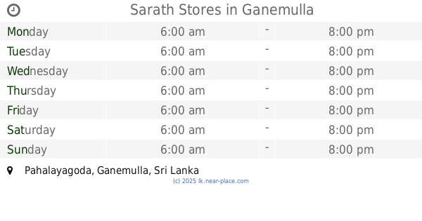
Sarath Stores
Pahalayagoda, Ganemulla
Store
read more
231 m
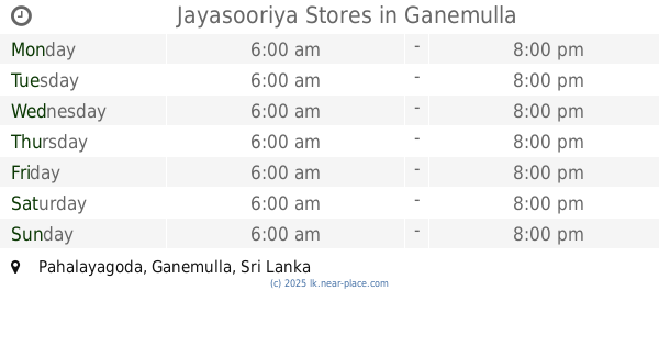
Jayasooriya Stores
Pahalayagoda, Ganemulla
Store
read more
324 m
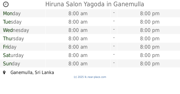
Hiruna Salon Yagoda
Ganemulla
Store
read more
324 m
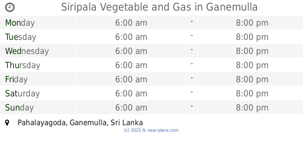
Siripala Vegetable and Gas
Pahalayagoda, Ganemulla
Store
read more
493 m
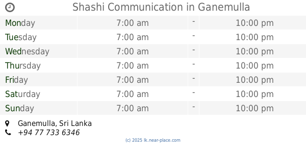
Shashi Communication
Ganemulla
Store
read more
722 m
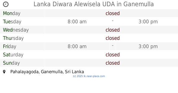
Lanka Diwara Alewisela UDA
Pahalayagoda, Ganemulla
Store
read more
746 m
Athula Grinding Mills
Oruthota North, Gampaha
Store
read more
1.661 km
Phoenix Graphics
Ganemulla
Store
read more
1.718 km
Toshiba E Studio 232
Ganemulla
Store
read more
1.741 km
Co-operative Shop
Horagolla South, Ganemulla
Store
read more
1.763 km
Crystal Electornic and Stationery
Sri Lanka
Store
read more
1.785 km
SMT Ganemulla (senadeera)
187/A/11 Main Street, Ganemulla
Store
read more
1.792 km
Jayamaha Stores
Galahitiyawa North, Ganemulla
Store
read more
1.83 km
Nirosh Concrete Works
Kirindiwita - Ganemulla Road, Ganemulla
Store
read more
1.852 km
Re Start Cellular Solution
Ganemulla
Store
read more
1.927 km
Abans Auto (Pvt) Ltd (Ganemulla)
Ganemulla
Store
read more
1.932 km
Dambullu Vegetable Stores
Ganemulla
Store
read more
1.95 km
Supplement Factory Ganemulla
195/01 Kadawatha - Ganemulla Road, Ganemulla
Store
read more
1.956 km
GameSOFT COMPUTER
Kadawatha - Ganemulla Road, Ganemulla
Store
read more
1.967 km
Handy Cell
Sri Lanka
Store
read more
1.967 km
Handy Cell
221 Kadawatha - Ganemulla Road, Ganemulla
Store
read more
1.975 km
Usha Rasahala (Sweet shop)
233-E-06 Kadawatha - Ganemulla Road
Store
read more
1.985 km
PLP & MN
Gampaha-Moragoda Walkway, Gampaha
Store
read more
2.404 km
Diyansa Stores
Ganemulla South, Ganemulla
Store
read more
📑
all categories
Accounting
Administrative area level 1
Administrative area level 2
Airport
Amusement park
Aquarium
Art gallery
Atm
Bakery
Bank
Bar
Beauty salon
Bicycle store
Book store
Bowling alley
Bus station
Cafe
Campground
Car dealer
Car rental
Car repair
Car wash
Casino
Cemetery
Church
City hall
Clothing store
Colloquial area
Convenience store
Country
Courthouse
Dentist
Department store
Doctor
Electrician
Electronics store
Embassy
Finance
Fire station
Florist
Food
Funeral home
Furniture store
Gas station
General contractor
Grocery or supermarket
Gym
Hair care
Hardware store
Health
Hindu Temple
Home goods store
Hospital
Insurance agency
Intersection
Jewelry store
Laundry
Lawyer
Library
Light rail station
Liquor store
Local government office
Locality
Locksmith
Lodging
Meal delivery
Meal takeaway
Mosque
Movie rental
Movie theater
Moving company
Museum
Natural feature
Neighborhood
Night club
Painter
Park
Parking
Pet store
Pharmacy
Physiotherapist
Place of worship
Plumber
Point of interest
Police
Political
Post office
Premise
Real estate agency
Restaurant
Roofing contractor
Route
Rv park, camping
School
Shoe store
Shopping mall
Spa
Stadium
Storage
Store
Subpremise
Supermarket
Synagogue
Taxi stand
Train station
Transit station
Travel agency
University
Veterinary care
Zoo
administrative area level 3
sublocality level 1
sublocality level 2
↑