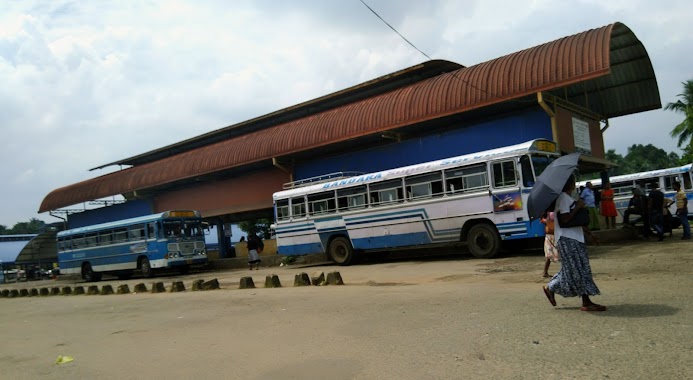
Bus station nearby Dikhena Bus Stop
Coronavirus disease (COVID-19) Situation
confirmed cases
672754
deaths
16897
Sri Lanka
Bus station nearby Dikhena Bus Stop
Dikhena Bus Stop
Batawala Road, 10513, Colombo, Western Province, LK Sri Lanka
contacts phone
:
+94
Latitude:
6.8734588
, Longitude:
80.0621501
larger map & directions
read more
nearest Bus station
2.012 km
Wilauda Bus Stop
Artigala
Bus station
read more
2.084 km
Meegoda Junction Bus Stop
Avissawella Road
Bus station
read more
2.676 km
Lenagala Bus Stop
Lenagala Road, Lenagala
Bus station
read more
2.772 km
Naduhena Bus Stop
Avissawella Road
Bus station
read more
3.227 km
Welipillewa School Junction Bus Stop
Panagoda - Embulagama Road
Bus station
read more
3.362 km
Watareka Bus Stop
Padukka Road, Watareka
Bus station
read more
3.662 km
Meepe Bus Stop
Meepe - Ingiriya Road, Padukka
Bus station
read more
3.683 km
Artigala Bus Stop
Artigala
Bus station
read more
3.789 km
Ayurveda Bus Stop
Padukka Road
Bus station
read more
4.041 km
Madamandiya Bus Stop
B240, Medamandiya
Bus station
read more
4.048 km
190 Meegoda- Pettah Bus Stop
B240, Godagama
Bus station
read more
4.057 km
Godagama Junction Bus Stop
Padukka Rd, Godagama Junction, 125/190 Padukka Road, Godagama
Bus station
read more
4.064 km
Embulgama Bus Stop
Colombo - Hanwella Low Level Road, Embulgama
Bus station
read more
4.127 km
Avissawella- Colombo Bus Stop
Avissawella Road, Homagama
Bus station
read more
4.347 km
Panagoda Abulgama Road
B240
Bus station
read more
4.368 km
Pahathgama Bus Stop
Colombo - Batticaloa Highway, Hanwella
Bus station
read more
4.386 km
Panagoda Junction Bus Stop
Panagoda - Embulagama Road
Bus station
read more
4.474 km
Hanwella Bus Station
AB10, Hanwella
Bus station
read more
4.717 km
Meepe - Horana Bus Stop
Padukka
Bus station
read more
4.737 km
Padukka Bus Station
Padukka
Bus station
read more
5.011 km
Pinthaliya Junction Bus Stop
Meepe - Ingiriya Road, Padukka
Bus station
read more
5.792 km
Mayithridasa Mawatha Bus Stop
Homagama
Bus station
read more
5.799 km
5th Lane Bus Stop
Homagama
Bus station
read more
6.279 km
Podi Pansala Bus Stop
Homagama
Bus station
read more
6.409 km
Meddekumbura Bus Stop
Homagama
Bus station
read more
📑
all categories
Accounting
Administrative area level 1
Administrative area level 2
Airport
Amusement park
Aquarium
Art gallery
Atm
Bakery
Bank
Bar
Beauty salon
Bicycle store
Book store
Bowling alley
Bus station
Cafe
Campground
Car dealer
Car rental
Car repair
Car wash
Casino
Cemetery
Church
City hall
Clothing store
Colloquial area
Convenience store
Country
Courthouse
Dentist
Department store
Doctor
Electrician
Electronics store
Embassy
Finance
Fire station
Florist
Food
Funeral home
Furniture store
Gas station
General contractor
Grocery or supermarket
Gym
Hair care
Hardware store
Health
Hindu Temple
Home goods store
Hospital
Insurance agency
Intersection
Jewelry store
Laundry
Lawyer
Library
Light rail station
Liquor store
Local government office
Locality
Locksmith
Lodging
Meal delivery
Meal takeaway
Mosque
Movie rental
Movie theater
Moving company
Museum
Natural feature
Neighborhood
Night club
Painter
Park
Parking
Pet store
Pharmacy
Physiotherapist
Place of worship
Plumber
Point of interest
Police
Political
Post office
Premise
Real estate agency
Restaurant
Roofing contractor
Route
Rv park, camping
School
Shoe store
Shopping mall
Spa
Stadium
Storage
Store
Subpremise
Supermarket
Synagogue
Taxi stand
Train station
Transit station
Travel agency
University
Veterinary care
Zoo
administrative area level 3
sublocality level 1
sublocality level 2
↑