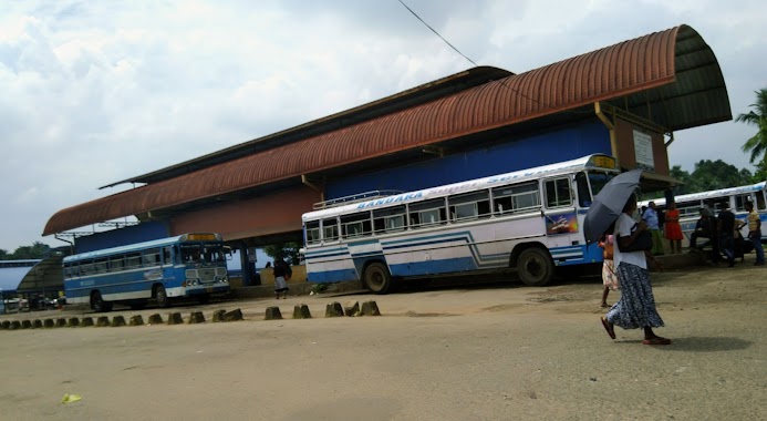
Bus station nearby Pinthaliya Junction Bus Stop
Coronavirus disease (COVID-19) Situation
confirmed cases
672754
deaths
16897
Sri Lanka
Bus station nearby Pinthaliya Junction Bus Stop
Pinthaliya Junction Bus Stop
Meepe - Ingiriya Road, Padukka, Colombo, LK Sri Lanka
contacts phone
:
+94
Latitude:
6.8543706
, Longitude:
80.1032705
larger map & directions
read more
nearest Bus station
1.355 km
Meepe Bus Stop
Meepe - Ingiriya Road, Padukka
Bus station
read more
1.423 km
Meepe Bus Stop
High Level Road, Padukka
Bus station
read more
1.926 km
Meepe - Horana Bus Stop
Padukka
Bus station
read more
1.972 km
Padukka Bus Station
Padukka
Bus station
read more
4.434 km
Bus Stop
Galagedera - Horana Road, Poregedara
Bus station
read more
4.732 km
Ihala Bope Bus Stop
Ihala Bope -Labugama Road, Bope
Bus station
read more
4.968 km
Watareka Bus Stop
Padukka Road, Watareka
Bus station
read more
4.977 km
Meegoda Junction Bus Stop
Avissawella Road
Bus station
read more
5.011 km
Dikhena Bus Stop
Batawala Road
Bus station
read more
5.161 km
Bus Stop
Galagedera - Horana Road
Bus station
read more
5.995 km
Welikanna junction Bus Stop
Kaluaggala-Labugama Road, Waga
Bus station
read more
6.072 km
Pelwadiya Bus Stop
10680, 27 Kaluaggala-Labugama Rd, වග
Bus station
read more
7.187 km
Kaluaggala Bus Stop
Avissawella Road
Bus station
read more
7.655 km
Lenagala Bus Stop
Lenagala Road, Lenagala
Bus station
read more
9.103 km
Thalagala Bus Stop
Kottawa - Talagala Road
Bus station
read more
11.695 km
Moonamale Handiya Bus Stop
Kottawa - Talagala Road
Bus station
read more
11.722 km
Rubberwatte Bus Stop
Kaduwela - Athurugiriya Road
Bus station
read more
12.412 km
Galavilawatta Bus Stop
Avissawella Road, Homagama
Bus station
read more
14.449 km
Dekatana Colombo Bus station 226
Malwana-Dekatana Road
Bus station
read more
15.006 km
Karabugas Junction Bus Stop
Malwana Road
Bus station
read more
15.191 km
Mattegoda Sathosa Bus Stop
Salgaha Approach Road, Polgasowita
Bus station
read more
15.278 km
Blooming Buds Bus Stop
510,kitulahena,Mattefoda
Bus station
read more
15.764 km
Kothalawala School Bus Stop
New Kandy Road, Kaduwela
Bus station
read more
16.069 km
Kaduwela Bus Station
Colombo - Hanwella Low Level Road
Bus station
read more
17.642 km
Raggahawatta Bus Stop
B214
Bus station
read more
📑
all categories
Accounting
Administrative area level 1
Administrative area level 2
Airport
Amusement park
Aquarium
Art gallery
Atm
Bakery
Bank
Bar
Beauty salon
Bicycle store
Book store
Bowling alley
Bus station
Cafe
Campground
Car dealer
Car rental
Car repair
Car wash
Casino
Cemetery
Church
City hall
Clothing store
Colloquial area
Convenience store
Country
Courthouse
Dentist
Department store
Doctor
Electrician
Electronics store
Embassy
Finance
Fire station
Florist
Food
Funeral home
Furniture store
Gas station
General contractor
Grocery or supermarket
Gym
Hair care
Hardware store
Health
Hindu Temple
Home goods store
Hospital
Insurance agency
Intersection
Jewelry store
Laundry
Lawyer
Library
Light rail station
Liquor store
Local government office
Locality
Locksmith
Lodging
Meal delivery
Meal takeaway
Mosque
Movie rental
Movie theater
Moving company
Museum
Natural feature
Neighborhood
Night club
Painter
Park
Parking
Pet store
Pharmacy
Physiotherapist
Place of worship
Plumber
Point of interest
Police
Political
Post office
Premise
Real estate agency
Restaurant
Roofing contractor
Route
Rv park, camping
School
Shoe store
Shopping mall
Spa
Stadium
Storage
Store
Subpremise
Supermarket
Synagogue
Taxi stand
Train station
Transit station
Travel agency
University
Veterinary care
Zoo
administrative area level 3
sublocality level 1
sublocality level 2
↑