
no info
🕗 opening times
| Monday | ⚠ | |||||
| Tuesday | ⚠ | |||||
| Wednesday | ⚠ | |||||
| Thursday | ⚠ | |||||
| Friday | ⚠ | |||||
| Saturday | ⚠ | |||||
| Sunday | ⚠ | |||||
Colombo 08, Colombo, Sri Lanka
contacts phone: +94
larger map & directionsLatitude: 6.9133467, Longitude: 79.8844997


TC Bandarawela
::Distance in KM - from Fort 5.445
Amila Nissanka
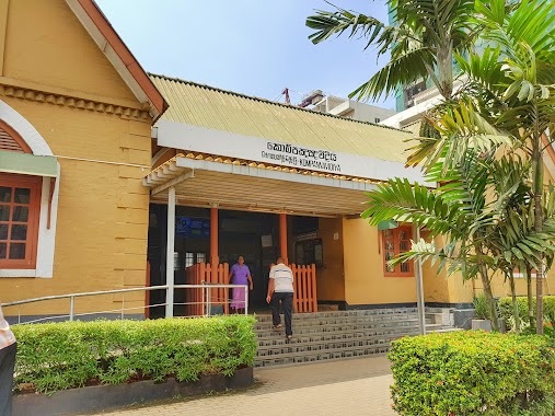
::Basic train station ..neerby to Borrella. Trains available at office hours and school leave times
Mahesh Chathuranga
::crowded.......
Gayashan Vidusha
::busy station in morning & evening
H.V. Mendis
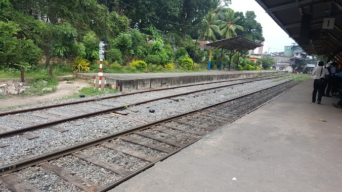
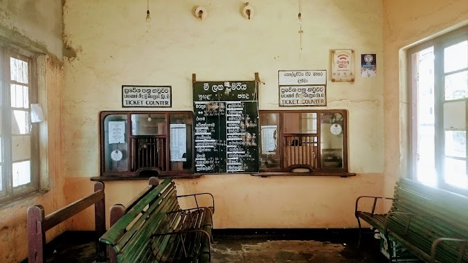
::This railway station the conditions are very bad - need to upgrade to a better facility as no walkway properly / no waiting area and very much neglected . Many passengers travel daily towards Fort via this station from Kotte/nawala/ borella /battaramulla areas - but the conditions a really poor .I guess its high time the authorities take a look at this neglected but very important train station without any time taken .