Health nearby Jayanthi Dispensary
Coronavirus disease (COVID-19) Situation
confirmed cases
672754
deaths
16897
Sri Lanka
Health nearby Jayanthi Dispensary
Jayanthi Dispensary
New Kandy Road, Weliweriya, Gampaha, LK Sri Lanka
contacts phone
:
+94
Latitude:
7.0390747
, Longitude:
80.0234029
larger map & directions
read more
nearest Health
734 m
Ronim Residense - Amberaluwa
28, Imbulgoda - Weliweriya Road, Weliweriya
Health
read more
867 m
Dr.Satharasinghe's Clinic
New Kandy Road, Weliweriya
Health
read more
972 m
Life Health Care
Weliweriya
Health
read more
2.614 km
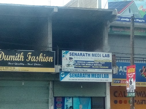
Senarath Medi Lab
Ihala Imbulgoda
Health
read more
3.115 km
Pabasara Marriage Proposal Service
No. 117/3/A , Highway Terrace, Orutota Road
Health
read more
3.115 km
Pabasara Marriage Proposal Service
Gampaha
Health
read more
3.151 km
Nisansala Rehabilitation Center
Wathurugama Road, Gampaha
Health
read more
3.33 km
Maternity Home
Ihala Imbulgoda
Health
read more
3.488 km
Pahala Imbulgoda Family Health Office
Pahala Imbulgoda
Health
read more
3.632 km
UPSSAYA Buddhist Center
Gampaha
Health
read more
3.857 km
Sirikatha Pharmacy
144 A1, Gampaha
Health
read more
4.111 km
Weerasiri Pharmacy
Health
read more
4.35 km
Methmuni Arana Meditation Centre ( Therawadha)
Sri Lanka
Health
read more
4.356 km
Methsith Meditation Center
Sri Lanka
Health
read more
4.466 km
Ajith Salon
Parakandeniya Road, Eldeniya
Health
read more
4.479 km
Kottayawatta Veda Gedara
82C1 Webada Road
Health
read more
4.88 km
MOH Clinic
Yakkala West, Yakkala
Health
read more
4.928 km
Senarath Medi Lab
Kadawatha
Health
read more
5.03 km
Martial Arts & Fitness Institute Sri Lanka
Yakkala
Health
read more
5.04 km
Dr. K Mahesh M Perera
Sri Lanka
Health
read more
5.076 km
Lanka Hospital Collection Center
Sri Lanka
Health
read more
5.256 km
Gampaha Ayurveda Medical Center....
Gampaha
Health
read more
5.575 km
Senarath Medi Lab
Ganemulla
Health
read more
6.342 km
Gampaha Oruthota Walkway
Orutota Road, Gampaha
Health
read more
6.484 km
Oruthota Meditating Center
Gampaha
Health
read more
📑
all categories
Accounting
Administrative area level 1
Administrative area level 2
Airport
Amusement park
Aquarium
Art gallery
Atm
Bakery
Bank
Bar
Beauty salon
Bicycle store
Book store
Bowling alley
Bus station
Cafe
Campground
Car dealer
Car rental
Car repair
Car wash
Casino
Cemetery
Church
City hall
Clothing store
Colloquial area
Convenience store
Country
Courthouse
Dentist
Department store
Doctor
Electrician
Electronics store
Embassy
Finance
Fire station
Florist
Food
Funeral home
Furniture store
Gas station
General contractor
Grocery or supermarket
Gym
Hair care
Hardware store
Health
Hindu Temple
Home goods store
Hospital
Insurance agency
Intersection
Jewelry store
Laundry
Lawyer
Library
Light rail station
Liquor store
Local government office
Locality
Locksmith
Lodging
Meal delivery
Meal takeaway
Mosque
Movie rental
Movie theater
Moving company
Museum
Natural feature
Neighborhood
Night club
Painter
Park
Parking
Pet store
Pharmacy
Physiotherapist
Place of worship
Plumber
Point of interest
Police
Political
Post office
Premise
Real estate agency
Restaurant
Roofing contractor
Route
Rv park, camping
School
Shoe store
Shopping mall
Spa
Stadium
Storage
Store
Subpremise
Supermarket
Synagogue
Taxi stand
Train station
Transit station
Travel agency
University
Veterinary care
Zoo
administrative area level 3
sublocality level 1
sublocality level 2
↑