Lodging nearby Centurion Resort
Coronavirus disease (COVID-19) Situation
confirmed cases
672754
deaths
16897
Sri Lanka
Lodging nearby Centurion Resort
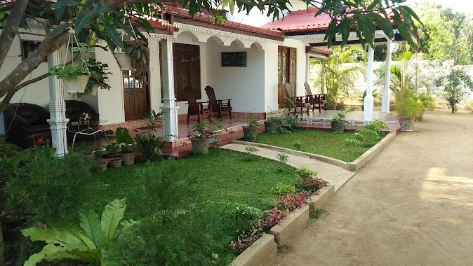
Centurion Resort
50150, Habarane, Sri Lanka
contacts phone
:
+94 662 270 374
Latitude:
8.0294387
, Longitude:
80.7503818
larger map & directions
read more
nearest Lodging
111 m
Tree house
trinco road, Habarane
Lodging
read more
147 m
Backpacker.lk Hostel Habarana
No.147 Dambulla Road, Habarane
Lodging
read more
352 m
Kings Lodge Habarana
Habarana
Lodging
read more
352 m
Weda Arana Ayurvedic Spa
Elephant Bath place,Anuradhapur Road Galpitiya, Habarana
Lodging
read more
353 m
Vista BnB Joes Habarana Village
Joes Habarana Village, Habarana
Lodging
read more
405 m
Nice to Meet Home Stay
Kashyapa Gama, Habarane
Lodging
read more
429 m
Mutu Spa
Habarana
Lodging
read more
435 m
Villa Habarana
Unnamed Road, Habarane
Lodging
read more
446 m
Teakvilla Hotel & Restaurant
Dambulla Rd, Habarana, A6, Habarane
Lodging
read more
505 m
Sath Rest
No 451/3 Dambulla Road, Habarana, Habarana
Lodging
read more
572 m
Sundari Eco Village
kashyapagama Road, Habarana
Lodging
read more
575 m
Levona Garden Resort
Habarana
Lodging
read more
596 m
Синнамон Лодже
A6, Habarane
Lodging
read more
596 m
Cinnamon Lodge Hotel
02 50150, Habarana Roundabout, Habarana
Lodging
read more
642 m
Otara Holiday Resort
Habarana
Lodging
read more
649 m
Aathreya Ayurvedic Hotel And Spa
Habarana
Lodging
read more
744 m
Kamatha Eco Lodge
Habarana
Lodging
read more
762 m
Weaver Bird Villa
Habarana
Lodging
read more
792 m
Habarana Village by Cinnamon
Habarana
Lodging
read more
930 m
Habarana Ayurveda Pavilion
Kashyapagama Habarana, Habarane
Lodging
read more
1.042 km
Danawwa Resort
Lake Road Habarana, Habarane
Lodging
read more
1.091 km
Sanjana Home Stay
Hiriwadunna
Lodging
read more
1.131 km
Mathews Holiday Resort
Alex bakery Polonnaru Road, Habarane
Lodging
read more
1.165 km
Kanaya City Hostel & Hotel
Polonnaruwa Road,, Habarane
Lodging
read more
1.175 km
Mutu Village
Habarana
Lodging
read more
📑
all categories
Accounting
Administrative area level 1
Administrative area level 2
Airport
Amusement park
Aquarium
Art gallery
Atm
Bakery
Bank
Bar
Beauty salon
Bicycle store
Book store
Bowling alley
Bus station
Cafe
Campground
Car dealer
Car rental
Car repair
Car wash
Casino
Cemetery
Church
City hall
Clothing store
Colloquial area
Convenience store
Country
Courthouse
Dentist
Department store
Doctor
Electrician
Electronics store
Embassy
Finance
Fire station
Florist
Food
Funeral home
Furniture store
Gas station
General contractor
Grocery or supermarket
Gym
Hair care
Hardware store
Health
Hindu Temple
Home goods store
Hospital
Insurance agency
Intersection
Jewelry store
Laundry
Lawyer
Library
Light rail station
Liquor store
Local government office
Locality
Locksmith
Lodging
Meal delivery
Meal takeaway
Mosque
Movie rental
Movie theater
Moving company
Museum
Natural feature
Neighborhood
Night club
Painter
Park
Parking
Pet store
Pharmacy
Physiotherapist
Place of worship
Plumber
Point of interest
Police
Political
Post office
Premise
Real estate agency
Restaurant
Roofing contractor
Route
Rv park, camping
School
Shoe store
Shopping mall
Spa
Stadium
Storage
Store
Subpremise
Supermarket
Synagogue
Taxi stand
Train station
Transit station
Travel agency
University
Veterinary care
Zoo
administrative area level 3
sublocality level 1
sublocality level 2
↑