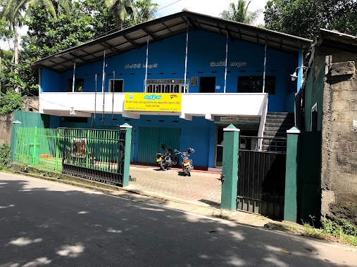
Bank nearby Co-op Bank ( CRB )
Sri Lanka
Bank nearby Co-op Bank ( CRB )
Co-op Bank ( CRB )
Shanthalokagama, Sri Lanka
contacts phone
:
+94
Latitude:
6.8944185
, Longitude:
79.9913219
larger map & directions
read more
nearest Bank
1.83 km
Sanasa Bank
474 Kaduwela - Athurugiriya Road, Homagama
Bank
read more
1.846 km
People's Bank
B174
Bank
read more
1.848 km
Sampath Bank
B2
Bank
read more
1.849 km
National Savings Bank
B174
Bank
read more
1.857 km
NDB Bank
70/20C, Main Street, Athurugiriya Road
Bank
read more
1.858 km
Seylan Bank - Athurugiriya
Thaldiyawala
Bank
read more
1.882 km
Bank of Ceylon
B2
Bank
read more
1.883 km
BOC - Athurugiriya
Kotte - Bope Road
Bank
read more
1.891 km
Aturugiriya Rural Bank
B240
Bank
read more
2.02 km
Hatton National Bank
No 46, Main Street
Bank
read more
2.675 km
Malabe East Sanasa Devolopment Bank
Kahanthota Road, Sri Jayawardenepura Kotte
Bank
read more
2.742 km
SANASA Bank - Hokandara , සණස බැංකුව - හෝකන්දර
Hokandara North, Hokandara
Bank
read more
2.775 km
Sanasa Nawagamuwa South Ranala
Nawagamuwa, South
Bank
read more
2.823 km
Welivita Malabe Sanasa Devolopment Bank
B263, Sri Jayawardenepura Kotte
Bank
read more
3.017 km
Nations Trust Bank - SLIIT Branch
Malabe North, Malabe
Bank
read more
3.092 km
cooperate bank
Kaduwela - Athurugiriya Road, Kaduwela
Bank
read more
3.114 km
Bank Of Ceylon
Korathota
Bank
read more
3.186 km
Citizan Development Bank
Kaduwela Road, Malabe
Bank
read more
3.814 km
SANASA bank
Hokandara South, Hokandara
Bank
read more
3.97 km
Rural Bank
Malabe
Bank
read more
3.995 km
Nations Trust Bank
No. 410/4, Athurugiriya Rd, Malabe
Bank
read more
4.044 km
Sampath Bank
Udawaththa Road, Malabe
Bank
read more
4.102 km
DFCC Bank
Malabe
Bank
read more
4.376 km
Citizens Development Bank
No. 838/04 New Kandy Road, Malabe
Bank
read more
4.874 km
NDB Bank
AB10, Kaduwela
Bank
read more
📑
all categories
Accounting
Administrative area level 1
Administrative area level 2
Airport
Amusement park
Aquarium
Art gallery
Atm
Bakery
Bank
Bar
Beauty salon
Bicycle store
Book store
Bowling alley
Bus station
Cafe
Campground
Car dealer
Car rental
Car repair
Car wash
Casino
Cemetery
Church
City hall
Clothing store
Colloquial area
Convenience store
Country
Courthouse
Dentist
Department store
Doctor
Electrician
Electronics store
Embassy
Finance
Fire station
Florist
Food
Funeral home
Furniture store
Gas station
General contractor
Grocery or supermarket
Gym
Hair care
Hardware store
Health
Hindu Temple
Home goods store
Hospital
Insurance agency
Intersection
Jewelry store
Laundry
Lawyer
Library
Light rail station
Liquor store
Local government office
Locality
Locksmith
Lodging
Meal delivery
Meal takeaway
Mosque
Movie rental
Movie theater
Moving company
Museum
Natural feature
Neighborhood
Night club
Painter
Park
Parking
Pet store
Pharmacy
Physiotherapist
Place of worship
Plumber
Point of interest
Police
Political
Post office
Premise
Real estate agency
Restaurant
Roofing contractor
Route
Rv park, camping
School
Shoe store
Shopping mall
Spa
Stadium
Storage
Store
Subpremise
Supermarket
Synagogue
Taxi stand
Train station
Transit station
Travel agency
University
Veterinary care
Zoo
administrative area level 3
sublocality level 1
sublocality level 2
↑