Bank nearby Sanasa Nawagamuwa South Ranala
Sri Lanka
Bank nearby Sanasa Nawagamuwa South Ranala
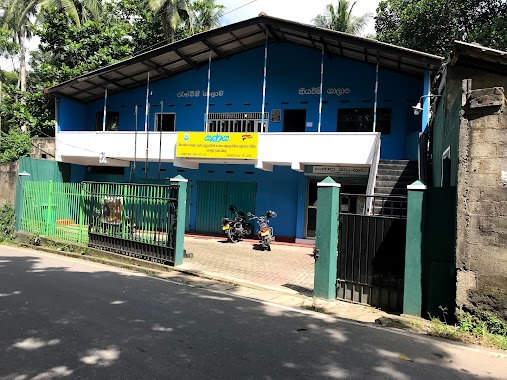
Sanasa Nawagamuwa South Ranala
Nawagamuwa, South, Sri Lanka
contacts phone
:
+94
Latitude:
6.9031788
, Longitude:
80.0148656
larger map & directions
read more
nearest Bank
1.498 km
Bank Of Ceylon
Korathota
Bank
read more
2.074 km
Sanasa Nawagamuwa
Kakariwela Road
Bank
read more
2.329 km
Sampath ATM
Colombo - Hanwella Low Level Road
Bank
read more
2.364 km
People's Bank
Colombo - Hanwella Low Level Road
Bank
read more
2.387 km
cooperate bank
Kaduwela - Athurugiriya Road, Kaduwela
Bank
read more
2.775 km
Co-op Bank ( CRB )
Shanthalokagama
Bank
read more
3.006 km
Sanasa Societies Ltd
383 Athurugiriya Road, Kaduwela
Bank
read more
3.542 km
Janodana Bank
Walpita
Bank
read more
3.895 km
National Savings Bank
B174
Bank
read more
3.9 km
Sanasa Bank
474 Kaduwela - Athurugiriya Road, Homagama
Bank
read more
3.913 km
People's Bank
B174
Bank
read more
3.997 km
Hatton National Bank
No 46, Main Street
Bank
read more
4.015 km
Aturugiriya Rural Bank
B240
Bank
read more
4.023 km
BOC - Athurugiriya
Kotte - Bope Road
Bank
read more
4.025 km
Bank of Ceylon
B2
Bank
read more
4.03 km
Sampath Bank
B2
Bank
read more
4.031 km
NDB Bank
70/20C, Main Street, Athurugiriya Road
Bank
read more
4.039 km
Seylan Bank - Athurugiriya
Thaldiyawala
Bank
read more
4.835 km
Sanasa Bank
Aturugiriya Road
Bank
read more
4.991 km
Welivita Malabe Sanasa Devolopment Bank
B263, Sri Jayawardenepura Kotte
Bank
read more
5.221 km
People's Bank
New Kandy Road
Bank
read more
5.271 km
NSB Bank
513 AB10, Kaduwela
Bank
read more
5.345 km
NDB Bank
AB10, Kaduwela
Bank
read more
5.356 km
Sanasa Development Bank
Kaduwela
Bank
read more
5.411 km
DFCC Bank
AB10, Kaduwela
Bank
read more
📑
all categories
Accounting
Administrative area level 1
Administrative area level 2
Airport
Amusement park
Aquarium
Art gallery
Atm
Bakery
Bank
Bar
Beauty salon
Bicycle store
Book store
Bowling alley
Bus station
Cafe
Campground
Car dealer
Car rental
Car repair
Car wash
Casino
Cemetery
Church
City hall
Clothing store
Colloquial area
Convenience store
Country
Courthouse
Dentist
Department store
Doctor
Electrician
Electronics store
Embassy
Finance
Fire station
Florist
Food
Funeral home
Furniture store
Gas station
General contractor
Grocery or supermarket
Gym
Hair care
Hardware store
Health
Hindu Temple
Home goods store
Hospital
Insurance agency
Intersection
Jewelry store
Laundry
Lawyer
Library
Light rail station
Liquor store
Local government office
Locality
Locksmith
Lodging
Meal delivery
Meal takeaway
Mosque
Movie rental
Movie theater
Moving company
Museum
Natural feature
Neighborhood
Night club
Painter
Park
Parking
Pet store
Pharmacy
Physiotherapist
Place of worship
Plumber
Point of interest
Police
Political
Post office
Premise
Real estate agency
Restaurant
Roofing contractor
Route
Rv park, camping
School
Shoe store
Shopping mall
Spa
Stadium
Storage
Store
Subpremise
Supermarket
Synagogue
Taxi stand
Train station
Transit station
Travel agency
University
Veterinary care
Zoo
administrative area level 3
sublocality level 1
sublocality level 2
↑